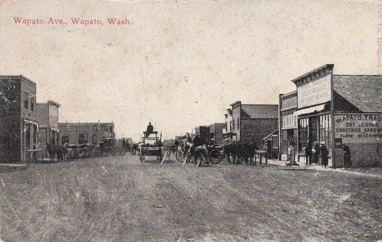
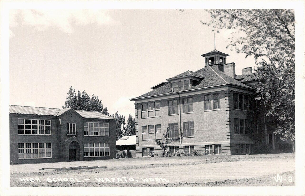

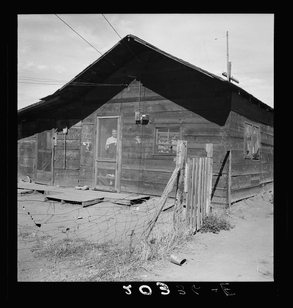
A history of Wapato,
since 1885
Postcards, papers and photographs of Wapato from public archives, woven together by decade. Neighbors fill in the gaps.
The story
from WikipediaRead it all ↗The town was founded in 1885 by Indian Postmaster Alexander McCredy as a railroad stop on the Northern Pacific Railroad as Simcoe, Washington. The Dawes Severalty Act of 1887 allowed the government to subdivide the Yakama Indian Reservation tribal communal landholdings into allotments for Native American heads of families and individuals. The selling of these allotments drew settlers into the area. With the construction of the Irwin Canal in 1896, agriculture became the big business in town. In the early 1900s, McCredy and George Rankin established the Wapato Development Company and laid out the town site. They established the town's first bank and began selling lots. In response to persistent confusion with nearby Fort Simcoe, the town changed its name to Wapato in 1903. The 1906 Jones Act further encouraged Anglos to purchase land from the Yakamas. Wapato was officially incorporated …
Text from Wikipedia, licensed CC BY-SA 4.0.
Timeline
built from the dates on the items belowFinish Wapato’s story
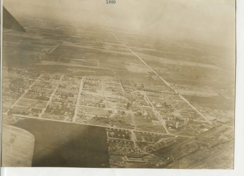
Most archives stop around 1920. The photos from after that are in family albums, not libraries.
5 of 10 decades since 1900 have photos 🔁Retake an old viewWapato, Washington (postcard), c. 1909: stand where they stood+15 📦Share a family photoSign in to add one+10Famous people from Wapato
See all 6 →Wapato, decade by decade
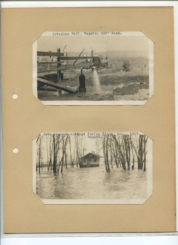
1970s
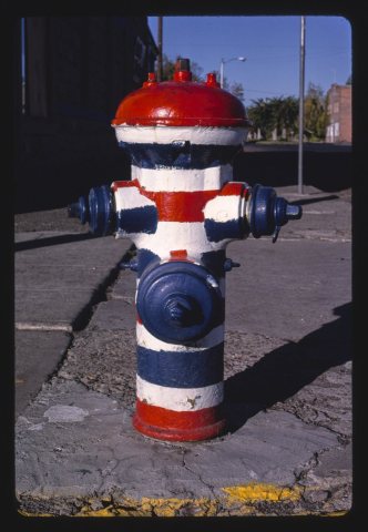
1990s
2 historic places in Wapato
2 places in Wapato are on the National Register of Historic Places, the country’s official list of buildings and places worth saving.
Where they are
When they were listed
Then & now
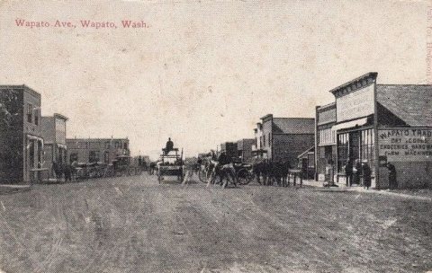
No then-and-now pairs yet. Take a photo from the same spot as Wapato, Washington (postcard) (c. 1909) and it appears here side by side.
🔁 Retake this view · +15Stories next door
nearby towns’ historyFrom Wikimedia Commons (5) and the Library of Congress (1). Images are copied here with their credits and licenses, shown on each photo’s page. Refreshed monthly.