The story
from WikipediaRead it all ↗St. John was founded and named in the late 1880s for settler Edward Talbert St. John. St. John was officially incorporated on March 10, 1904.
Edward Talbert St. John (1812–1894) was the son of Pierce St. John and Mary Talbot/Talbert. Before making his way to Whitman County, Washington he abandoned his family in Indiana around 1845. He seems to have wandered around before settling in Whitman and founding the town of St. John.
Text from Wikipedia, licensed CC BY-SA 4.0.
Timeline
built from the dates on the items belowFinish St. John’s story
Most archives stop around 1920. The photos from after that are in family albums, not libraries.
0 of 10 decades since 1900 have photos 🔁Retake an old viewMargaret St. John, St. John, Wash…, c. 1863: stand where they stood+15 📦Share a family photoSign in to add one+10Famous people from St. John
See all 2 →
St. John, decade by decade
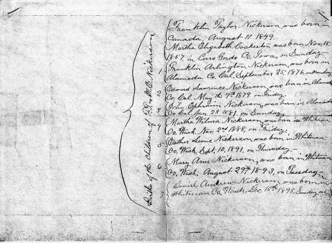
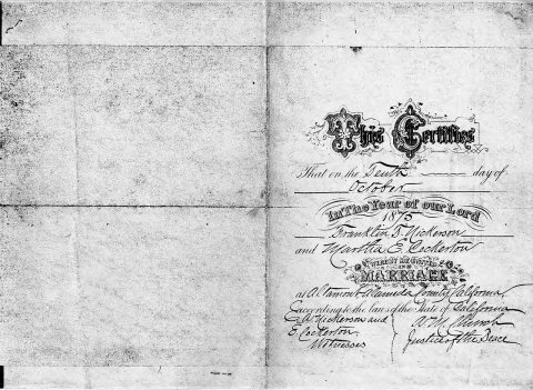
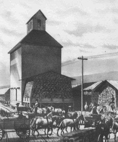
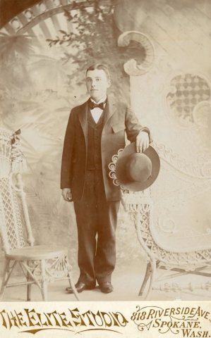
1990s
Then & now
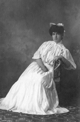
No then-and-now pairs yet. Take a photo from the same spot as Margaret St. John, St. John, Washington, circa 1863 - DPLA - e9b1c152a9a5e4549b4df8d3f500fb75 (c. 1863) and it appears here side by side.
🔁 Retake this view · +15Stories next door
nearby towns’ historyFrom Wikimedia Commons (6). Images are copied here with their credits and licenses, shown on each photo’s page. Refreshed monthly.