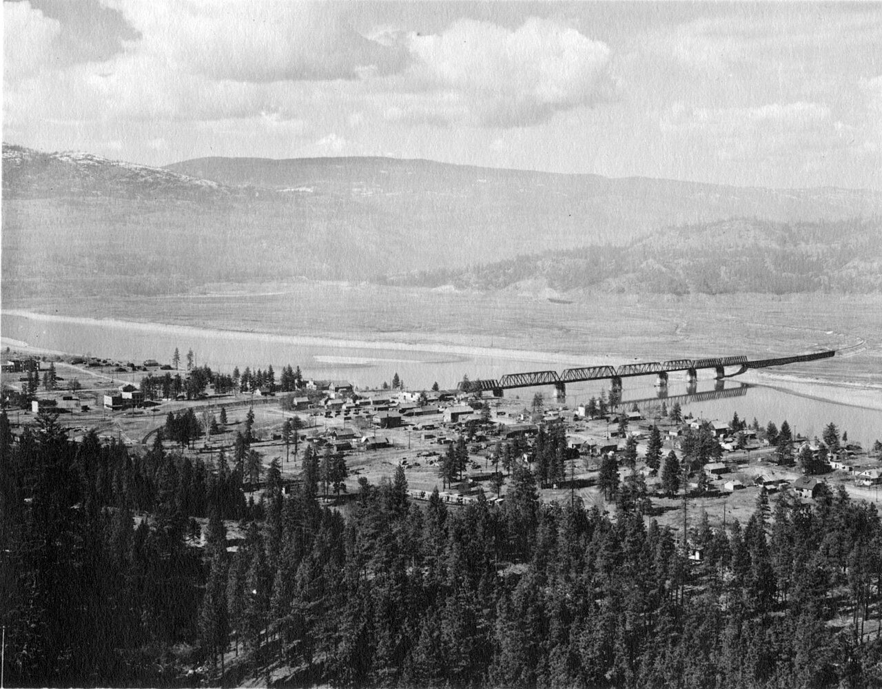
A history of Marcus,
since 1863
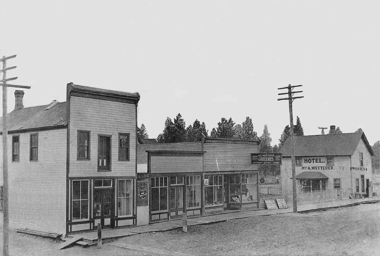
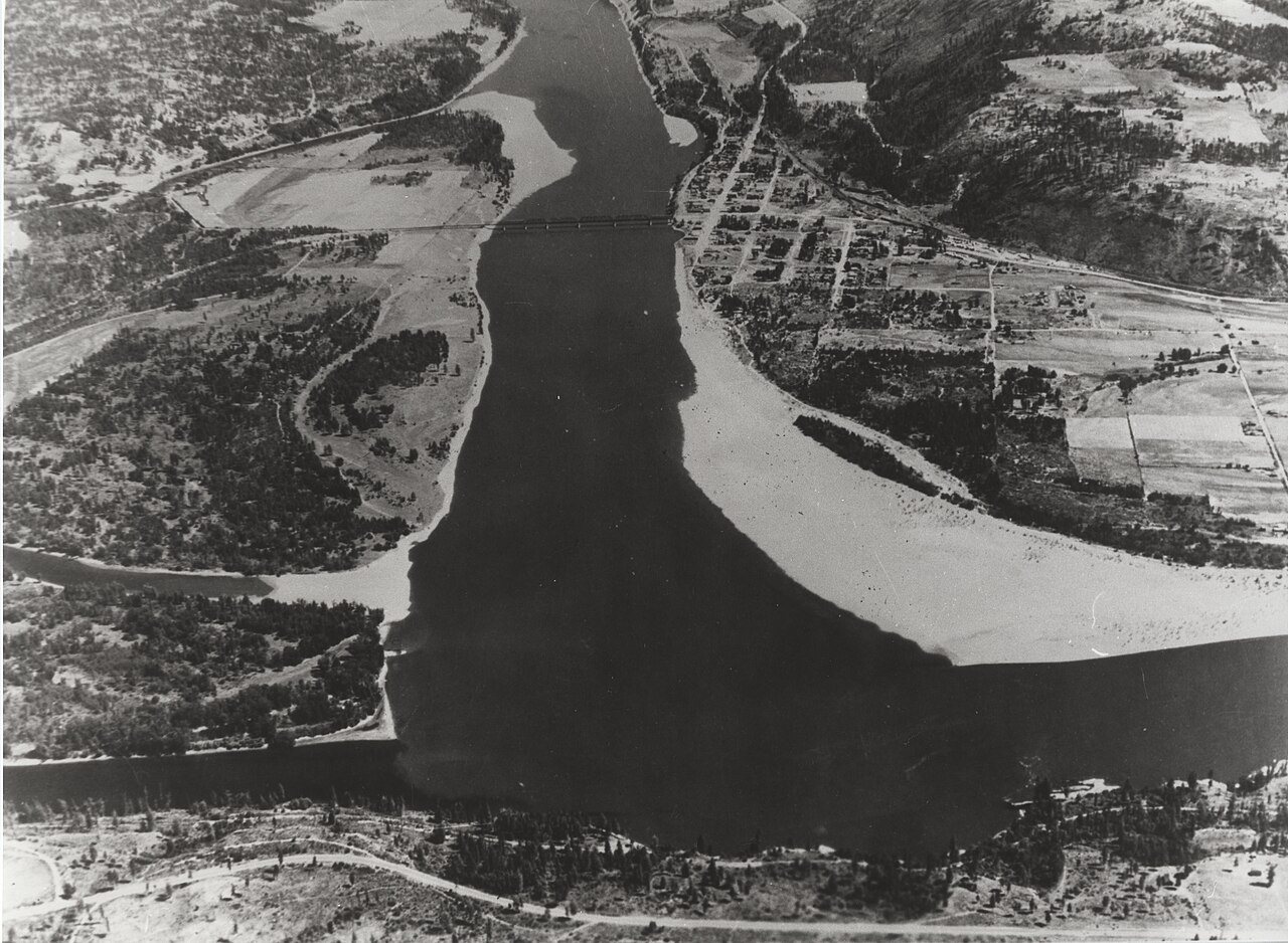
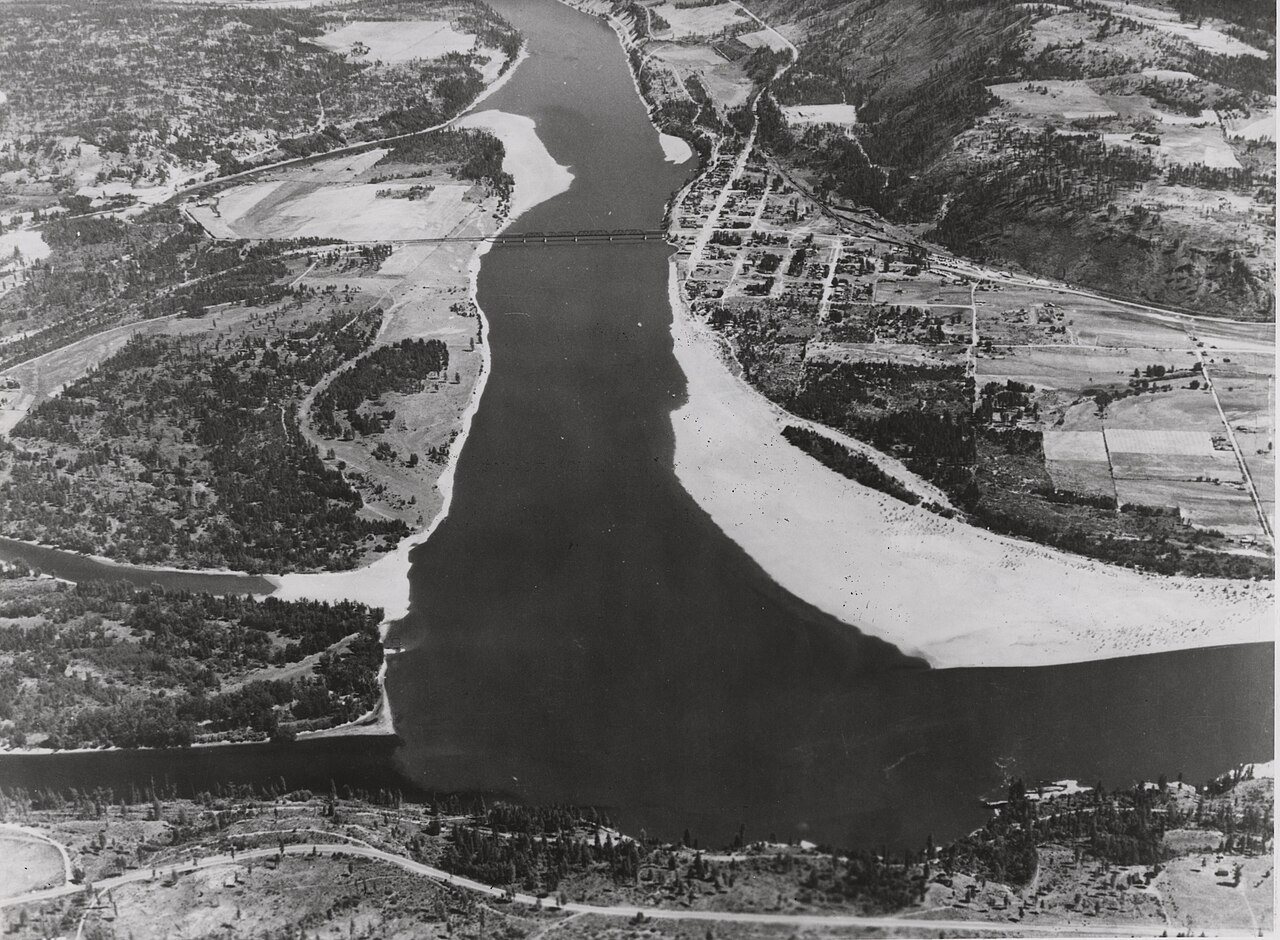
Postcards, papers and photographs of Marcus from public archives, woven together by decade. Neighbors fill in the gaps.
The story
from WikipediaRead it all ↗Marcus was named for Marcus Oppenheimer who settled in the area in 1863.
Marcus was a supply and transportation base for northward-bound travellers during the Big Bend Gold Rush of the 1860s in the Colony of British Columbia due to its location just above Kettle Falls, a wall to river navigation. In 1865 the steamboat Forty-Nine was built at Marcus to attempt the run to the goldrush boomtown of La Porte at the foot of the infamous Dalles des Morts or "Death Rapids", which were located in the immediate vicinity of the rush and were the upper barrier to river navigation. Regular service from Marcus to La Porte did not begin until 1866 due to difficult winter conditions at the Narrows of the Arrow Lakes on the first attempt in 1865.
Text from Wikipedia, licensed CC BY-SA 4.0.
Timeline
built from the dates on the items belowFinish Marcus’s story
Most archives stop around 1920. The photos from after that are in family albums, not libraries.
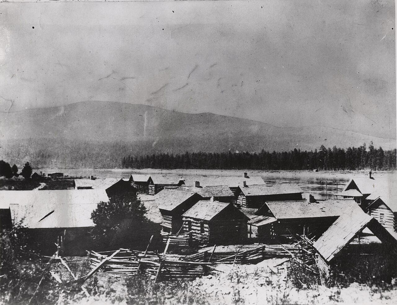
4 of 10 decades since 1900 have photos 🔁Retake an old viewLARO 2583, 1880: stand where they stood+15 📦Share a family photoSign in to add one+10Famous people close to Marcus
See all 20 →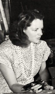


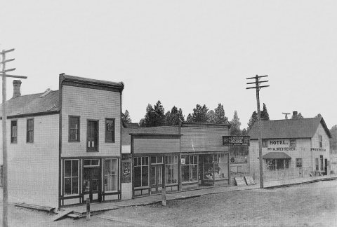
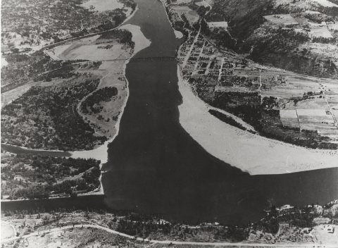
Marcus, decade by decade
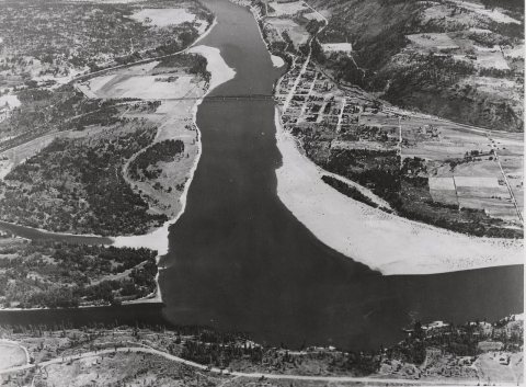
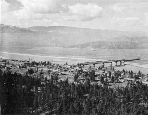
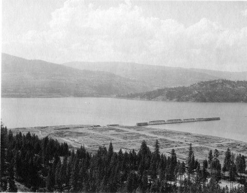
1990s
Nothing in Marcus is on the National Register yet
That’s true of most small towns. It doesn’t mean Marcus has no history, only that no one has written up a nomination. The closest listed place is St. Paul's Mission in Barney's Junction, 3.3 miles away.
Marcus and the nearest listed places
How a place gets listed
Then & now
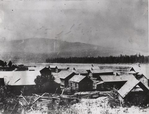
No then-and-now pairs yet. Take a photo from the same spot as LARO 2583 (1880) and it appears here side by side.
🔁 Retake this view · +15Stories next door
nearby towns’ historyFrom Wikimedia Commons (6). Images are copied here with their credits and licenses, shown on each photo’s page. Refreshed monthly.