← How Springfield ranks
Vermont rankings · Outdoors Most walkable towns in Vermont Ranked by street connectivity: intersections per square mile, the standard walkability measure the EPA uses. 74 towns with 2,500+ residents.
Springfield’s spot
#22 of 74 9.3 / sq mi street intersections per square mile
The race around Springfield
Just behind St. Johnsbury, just ahead of Manchester All 74 towns Intersections per sq mi, highest first. Towns next door to Springfield are tagged.
# Town Intersections per sq mi Dead ends Street miles
1
Swanton 2,670 people 114 / sq mi 20.5% 10.4 mi
2
Winooski 8,293 people 101 / sq mi 20.9% 18.6 mi
3
Barre Washington County · 8,412 people 99.9 / sq mi 25.6% 55.0 mi
4
St. Albans Franklin County · 6,954 people 85.4 / sq mi 18.2% 26.1 mi
6
Rutland 15,712 people 66.0 / sq mi 19% 83.0 mi
8
Burlington 44,675 people 46.7 / sq mi 16.3% 115.3 mi
10
Vergennes 2,565 people 37.7 / sq mi 24% 16.3 mi
11
Newport 4,394 people 30.9 / sq mi 31% 44.9 mi
12
Montpelier 8,014 people 30.5 / sq mi 23.6% 56.9 mi
14
Brattleboro Windham County · 12,122 people 14.4 / sq mi 23.2% 118.2 mi
15
Hartford Windsor County · 10,736 people 13.8 / sq mi 28.7% 181.5 mi
16
Williston Chittenden County · 10,144 people 13.7 / sq mi 26.1% 118.4 mi
17
Bennington Bennington County · 15,249 people 13.6 / sq mi 28.5% 164.7 mi
18
Rutland Rutland County · 3,927 people 11.2 / sq mi 33.1% 65.6 mi
19
Colchester Chittenden County · 17,648 people 10.6 / sq mi 26.6% 148.7 mi
20
Essex Chittenden County · 11,516 people 10.4 / sq mi 20% 112.5 mi
21
St. Johnsbury Caledonia County · 7,368 people 9.8 / sq mi 27.6% 117.9 mi
22
Springfield Windsor County · 9,084 people 9.3 / sq mi 19.5% 149.6 mi
23
Manchester Bennington County · 4,486 people 9.3 / sq mi 33.9% 113.2 mi
24
Middlebury Addison County · 9,175 people 8.1 / sq mi 24% 95.1 mi
25
Windsor Windsor County · 3,554 people 7.8 / sq mi 31.5% 50.5 mi
26
Shelburne Chittenden County · 7,969 people 7.6 / sq mi 31.9% 98.1 mi
27
Lyndon Caledonia County · 5,590 people 7.1 / sq mi 35.6% 115.1 mi
28
Fair Haven Rutland County · 2,724 people 7.1 / sq mi 28.5% 38.0 mi
29
Milton Chittenden County · 10,769 people 6.7 / sq mi 33.9% 140.5 mi
30
Woodstock Windsor County · 3,027 people 6.3 / sq mi 29.4% 114.8 mi
31
Rockingham Windham County · 4,807 people · next door 6.1 / sq mi 29.2% 100.9 mi
32
Morristown Lamoille County · 5,722 people 5.8 / sq mi 33.3% 124.9 mi
33
Fairfax Franklin County · 5,226 people 5.6 / sq mi 37.8% 103.2 mi
34
Hinesburg Chittenden County · 4,718 people 5.6 / sq mi 39.7% 95.2 mi
35
Randolph Orange County · 4,843 people 5.5 / sq mi 26.4% 120.4 mi
36
Northfield Washington County · 5,920 people 5.4 / sq mi 33.7% 95.3 mi
37
Castleton Rutland County · 4,453 people 5.4 / sq mi 37.1% 86.3 mi
38
Westminster Windham County · 2,999 people 5.4 / sq mi 39.7% 110.1 mi
39
Jericho Chittenden County · 5,114 people 5.3 / sq mi 35.7% 85.4 mi
40
Putney Windham County · 2,622 people 5.1 / sq mi 34.1% 69.0 mi
41
Berlin Washington County · 2,880 people 5.0 / sq mi 35.4% 83.2 mi
42
Stowe Lamoille County · 5,285 people 4.8 / sq mi 40.4% 156.4 mi
43
Bradford Orange County · 2,827 people 4.8 / sq mi 31.3% 73.5 mi
44
Waterbury Washington County · 5,405 people 4.7 / sq mi 39.2% 91.3 mi
45
Weathersfield Windsor County · 2,856 people · next door 4.7 / sq mi 30.8% 109.3 mi
46
Hyde Park Lamoille County · 3,000 people 4.6 / sq mi 36.1% 87.7 mi
47
Hardwick Caledonia County · 2,965 people 4.6 / sq mi 28.9% 85.3 mi
48
Swanton Franklin County · 6,820 people 4.4 / sq mi 28.1% 106.8 mi
49
Richmond Chittenden County · 4,159 people 4.4 / sq mi 39.3% 72.2 mi
50
Pownal Bennington County · 3,265 people 4.4 / sq mi 37.4% 97.9 mi
51
Derby Orleans County · 4,537 people 4.3 / sq mi 31.5% 119.5 mi
52
Brandon Rutland County · 4,120 people 4.3 / sq mi 27% 83.7 mi
53
Pittsford Rutland County · 2,892 people 4.3 / sq mi 35.8% 77.3 mi
54
Charlotte Chittenden County · 3,916 people 4.2 / sq mi 37.8% 113.6 mi
55
Royalton Windsor County · 2,752 people 4.2 / sq mi 36.3% 93.2 mi
56
Cambridge Lamoille County · 3,767 people 4.1 / sq mi 39.7% 120.1 mi
57
Hartland Windsor County · 3,460 people 4.1 / sq mi 35.1% 112.6 mi
58
Georgia Franklin County · 4,890 people 4.0 / sq mi 31.8% 86.9 mi
59
Williamstown Orange County · 3,579 people 4.0 / sq mi 32.1% 92.4 mi
60
East Montpelier Washington County · 2,612 people 4.0 / sq mi 28.5% 82.9 mi
61
Shaftsbury Bennington County · 3,607 people 3.9 / sq mi 33.5% 103.4 mi
62
Arlington Bennington County · 2,598 people 3.9 / sq mi 34.3% 66.0 mi
63
Norwich Windsor County · 3,640 people 3.8 / sq mi 36.4% 102.0 mi
64
Poultney Rutland County · 3,010 people 3.8 / sq mi 32.7% 86.4 mi
65
Chester Windsor County · 2,992 people · next door 3.8 / sq mi 29.5% 116.0 mi
66
Barton Orleans County · 2,815 people 3.8 / sq mi 27.5% 88.3 mi
67
Ferrisburgh Addison County · 2,661 people 3.8 / sq mi 34.7% 114.8 mi
68
Bristol Addison County · 3,778 people 3.7 / sq mi 35.9% 65.6 mi
69
Vernon Windham County · 2,709 people 3.6 / sq mi 37.4% 37.8 mi
70
Highgate Franklin County · 3,528 people 3.4 / sq mi 36.1% 96.6 mi
71
Thetford Orange County · 2,813 people 3.4 / sq mi 35.7% 91.2 mi
72
Johnson Lamoille County · 3,450 people 3.1 / sq mi 37.7% 74.7 mi
73
Enosburgh Franklin County · 2,804 people 2.6 / sq mi 23.8% 88.4 mi
74
Underhill Chittenden County · 3,141 people 2.2 / sq mi 42.9% 71.6 mi
We rank every town by street connectivity: intersections per square mile, the standard walkability measure the EPA uses. More intersections mean shorter, more direct walks, while cul-de-sac layouts with long dead ends rank lower. Sidewalks are not mapped consistently enough to rank, so this measures the street grid itself. The town with the highest figure ranks #1.
Only towns with at least 2,500 residents are ranked; Census estimates for smaller places are too uncertain. Population and income: U.S. Census Bureau American Community Survey 5-year estimates. Trails, streets and parks: © OpenStreetMap contributors (ODbL). Conserved land: USGS PAD-US . Measured within each town's Census boundary. Town photos: Wikimedia Commons, credited on each town’s page.
More on outdoors in Springfield →
Tell Springfield what the numbers miss Your answer becomes a post in Springfield’s Town Square.
Weigh in
#22 of 74 for walkable streets. Does that ring true?
Agree Disagree
Ask neighbors
What would you tell someone looking at Springfield? → Who really deserves #1? → Copyright © 2026 TownTapestry · Stitching communities together · In loving memory of John Cullinane whose interest in maps and discovering new places was contagious. Share TownTapestry to support usBrowse by state · Privacy · Terms 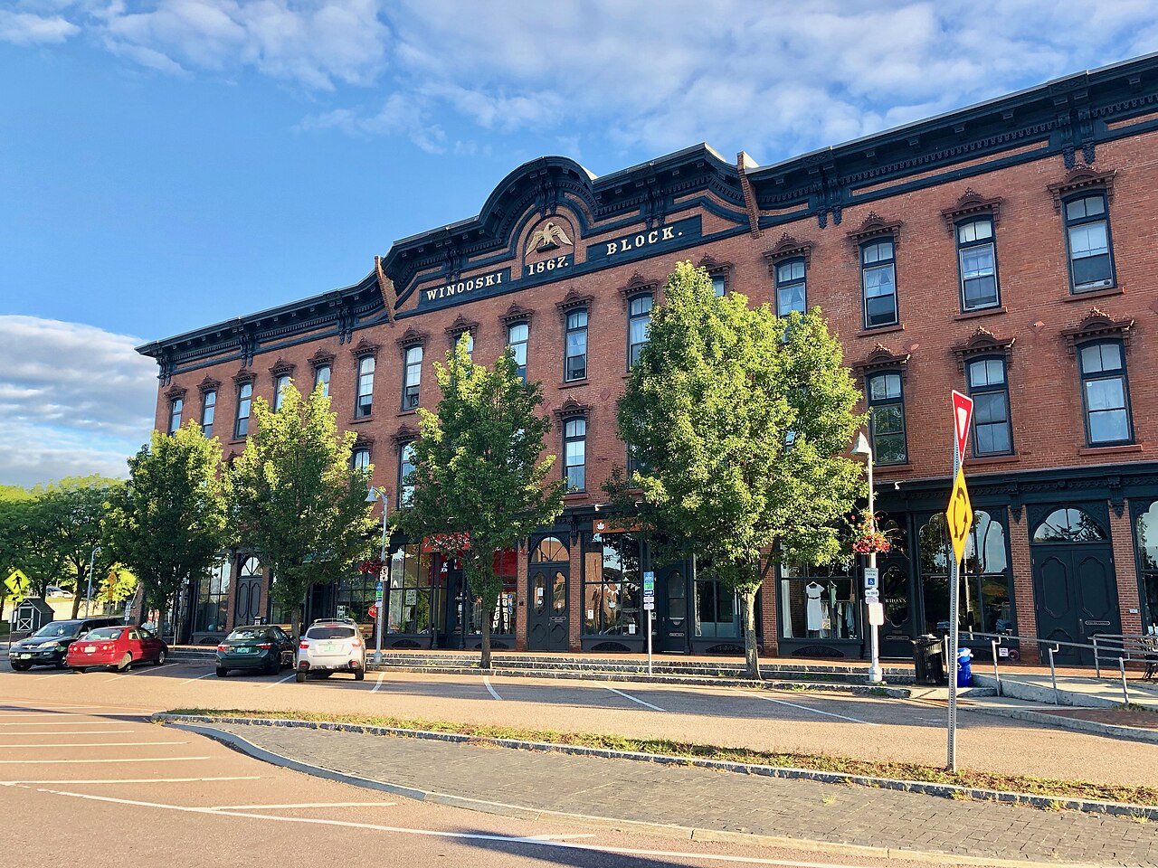 #2
#2