Cabot

What’s happening
Upcoming events
Put the next local happening — a market, a meeting, a concert — on the map.
Local news
Headlines via Google News · Articles belong to their publishers.
The Cabot album
Outdoors in Cabot
Parks & trails →Know a trail or park that’s missing? Anyone can add it to OpenStreetMap, and it shows up here on the next refresh.
Trails & parks © OpenStreetMap contributors · Conserved land: USGS PAD-US
About Cabot
Town in Vermont, United StatesCabot is a six-mile-square town located in the northeast corner of Washington County, Vermont, United States. The population was 1,443 at the 2020 census. It contains the unincorporated villages of Cabot Village, Cabot Plain, South Cabot (Hookerville), East Cabot, Lower Cabot, and West Hill. There was also a community known as Petersville until property owners there sold a total of 100 acres to Molly’s Falls Electric Light and Power Company, and in 1925 a large dam was constructed on Molly’s Brook (named after Molly, the wife of Indian Joe), that completely flooded the area that had been farms and homes to create what is now known as Molly’s Falls Reservoir, or sometimes “Marshfield Dam,” w…
From Wikipedia, licensed CC BY-SA 4.0 · facts via Wikidata (CC0)
Town numbers
Housing in Cabot
The typical Cabot home is worth about $365,000, up 6.6% in a year, 9% below the Vermont typical home.
Schools in Cabot
All Cabot schools →School Grade A-
The public schools Cabot’s kids attend, from kindergarten through graduation, outperform 75% of Vermont’s districts on state tests and graduation. Among towns with similar incomes, they rank near the top.
School data from the U.S. Department of Education (NCES, EDFacts). The School Grade is our own summary of state test results and graduation rates, graded within VT. Ratings are from neighbors.
Where Cabot is
Explore map →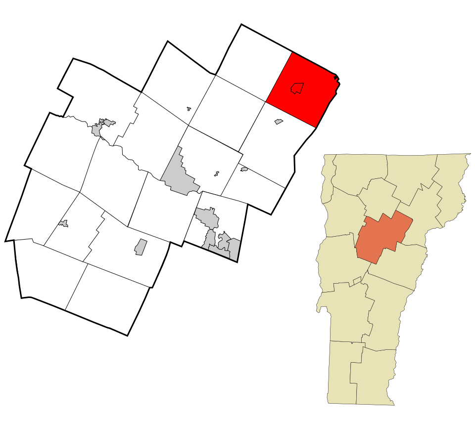

Location map