Barton’s history is
mostly unwritten
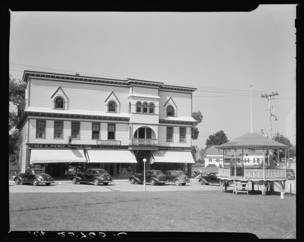
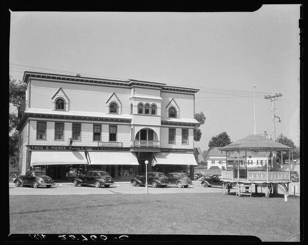
The public archives hold only 3 old photos of Barton. The rest are in attics, shoeboxes and the historical society. Help start the collection.
The story
from WikipediaRead it all ↗The Abenaki and their ancestors had been in this area for 12,000 years. They were part of the large Wabanaki confederacy of related Algonguian-speaking peoples that extended into what is now Canada. In 2011 and 2012 the state of Vermont officially recognized four Abenaki tribes. The Nulhegan Abenaki Tribe has its headquarters in Barton.
Early European traders and colonists were French. Anglo-Americans began to enter the area later in the 18th century. Both groups pushed the Abenaki aside when they wanted the land, and the natives suffered high mortality due to new infectious diseases.
Text from Wikipedia, licensed CC BY-SA 4.0.
Timeline
built from the dates on the items belowStart Barton’s collection
The first neighbors to add old photos shape how Barton’s history is told.
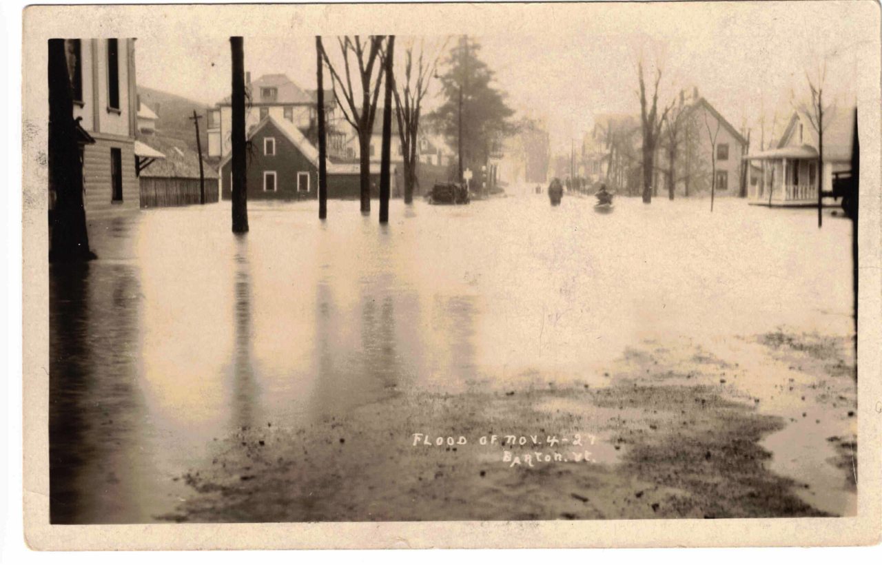
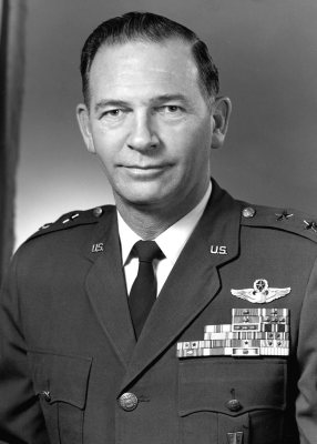
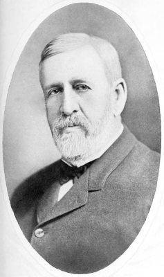
2 of 10 decades since 1900 have photos 🔁Retake an old viewBarton, VT 1927 flood postcard, 1927: stand where they stood+15 📦Share a family photoSign in to add one+10Famous people from Barton
See all 4 →
Barton, decade by decade
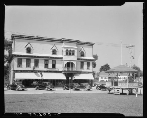
1990s
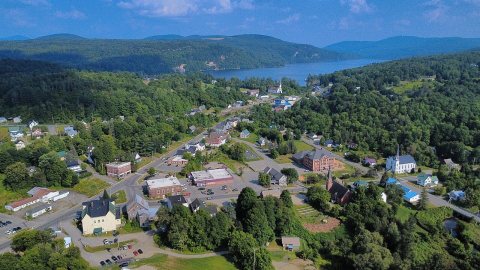
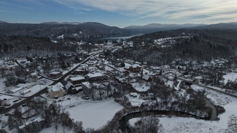
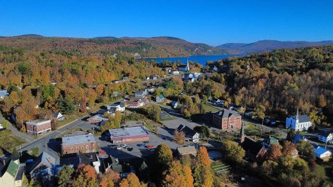
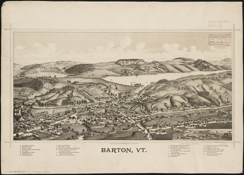
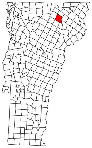
Nothing in Barton is on the National Register yet
That’s true of most small towns. It doesn’t mean Barton has no history, only that no one has written up a nomination. The closest listed place is Crystal Lake Falls Historic District in Barton, 0.1 miles away.
Barton and the nearest listed places


How a place gets listed
Then & now
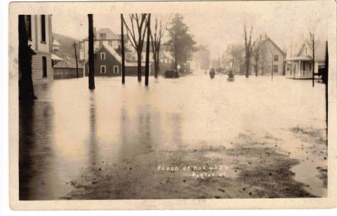
No then-and-now pairs yet. Take a photo from the same spot as Barton, VT 1927 flood postcard (1927) and it appears here side by side.
🔁 Retake this view · +15Stories next door
nearby towns’ historyFrom Wikimedia Commons (8), the Library of Congress (1) and the National Register (3). Images are copied here with their credits and licenses, shown on each photo’s page. Refreshed monthly.