The story
from WikipediaRead it all ↗Before English settlers arrived at Jamestown to establish the Colony of Virginia in 1607, the area that would become Williamsburg formed part of the territory of the Powhatan Confederacy. By the 1630s, English settlements had grown to dominate the lower (eastern) portion of the Virginia Peninsula, and Powhatan tribes had abandoned their nearby villages. Between 1630 and 1633, after the war that followed the Indian massacre of 1622, English colonists constructed a defensive palisade across the peninsula and a settlement named Middle Plantation as a primary guard-station along the palisade.
Text from Wikipedia, licensed CC BY-SA 4.0.
Timeline
built from the dates on the items belowFinish Williamsburg’s story
Most archives stop around 1920. The photos from after that are in family albums, not libraries.
0 of 10 decades since 1900 have photos 📦Share a family photoSign in to add one+10Famous people from Williamsburg
See all 48 →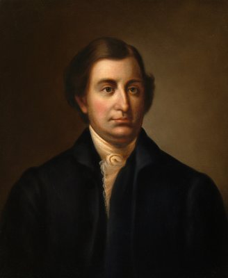


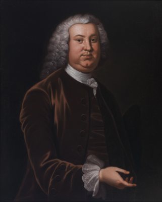
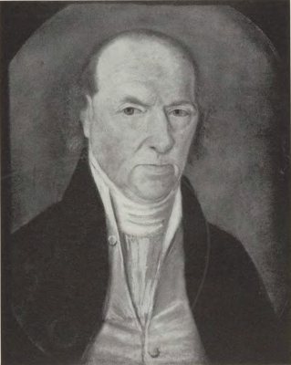
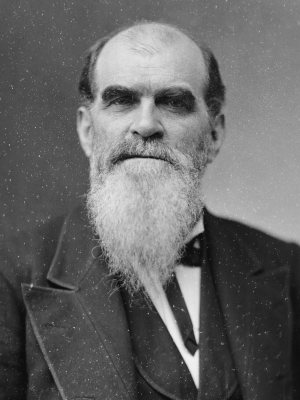
Williamsburg, decade by decade
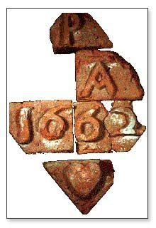
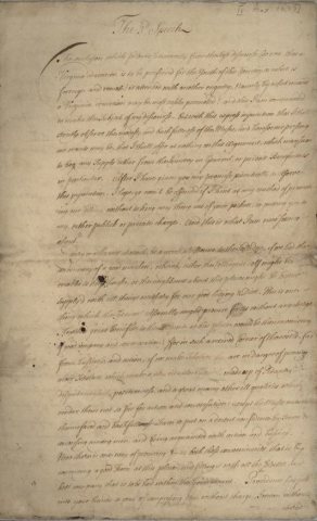
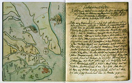
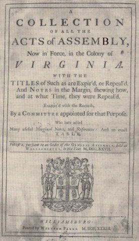
Then & now
When neighbors add old photos, retakes from the same spot appear here side by side.
Historic places
National Register · via Wikidata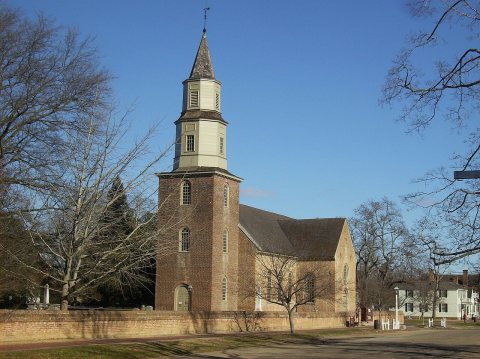
From Wikimedia Commons (5) and the National Register (1). Images are copied here with their credits and licenses, shown on each photo’s page. Refreshed monthly.