A history of Sterling,
then and now
Postcards, papers and photographs of Sterling from public archives, woven together by decade. Neighbors fill in the gaps.
The story
from WikipediaRead it all ↗In 1962, large farms made up the 1,762 acres (713 ha) of what today is called Sterling Park. Route 7, also known as Leesburg Pike, bordered what used to be Jesse Hughes's dairy farm. Hughes arrived in Loudoun County in the early 20th century and was a longtime head of the county's Democrats. Fred Franklin Tavenner, who was somewhat related to Benjamin Franklin, operated vast stretches of Sterling Farm at the southwest fringes of Sterling Park. Tavenner had purchased land from Albert Shaw Jr., who had inherited it from his father Albert B. Shaw, editor and publisher of the American Review of Reviews. One of Shaw's spreads, totaling 1,640 acres (660 ha), was called "The Experimental Farm" because it was one of the first area farms to receive a U.S. grant for applying "scientific methods", as Tavenner called them. According to Tavenner, refugees from the Soviet Union ran the farm while Sha…
Text from Wikipedia, licensed CC BY-SA 4.0.
Timeline
built from the dates on the items belowFinish Sterling’s story
Most archives stop around 1920. The photos from after that are in family albums, not libraries.
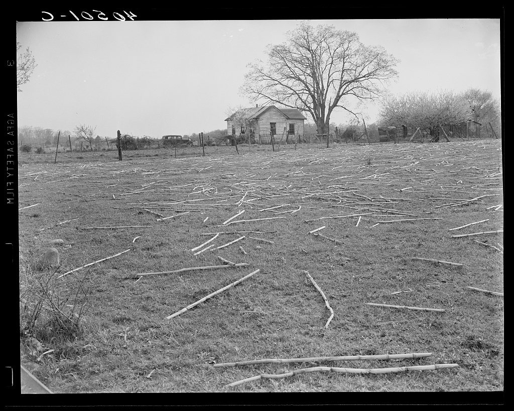
1 of 10 decades since 1900 have photos 🔁Retake an old viewFarmhouse and cane near Sterling.…, 1940: stand where they stood+15 📦Share a family photoSign in to add one+10Famous people from Sterling
See all 8 →


Sterling, decade by decade
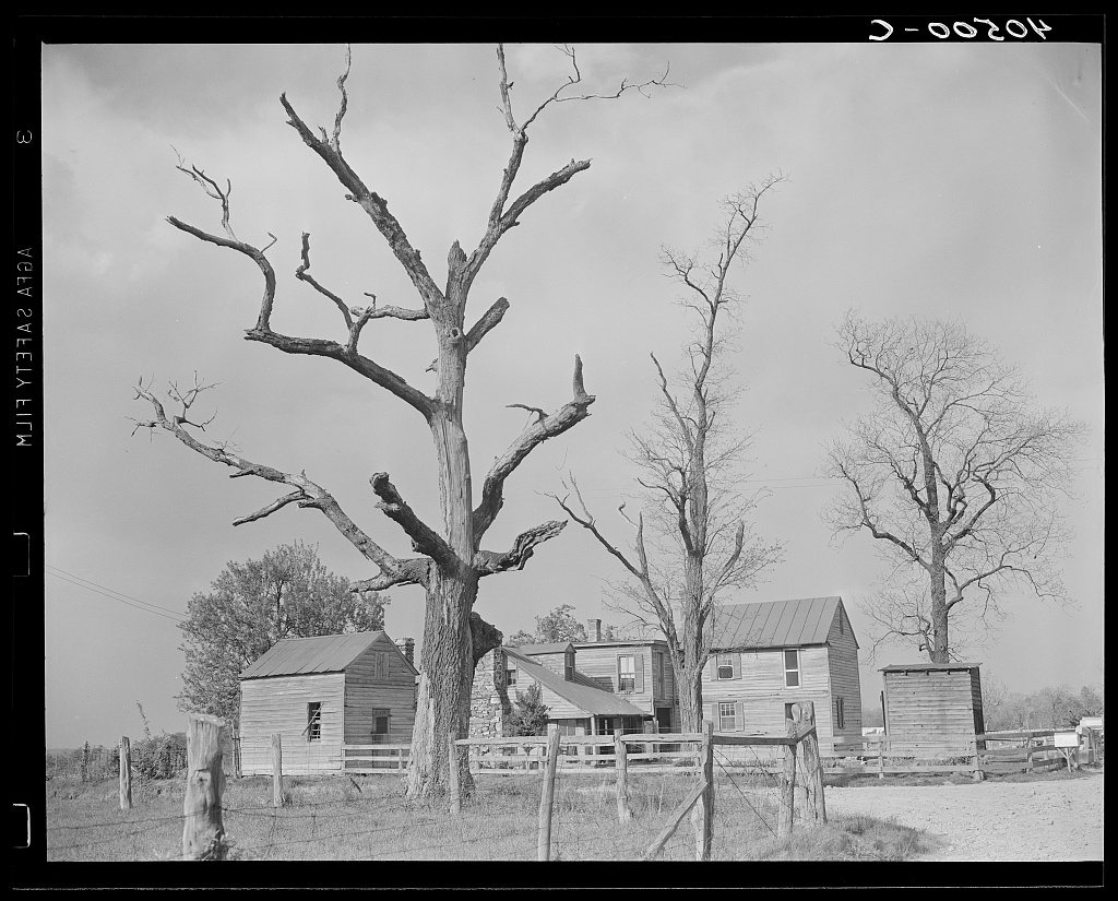
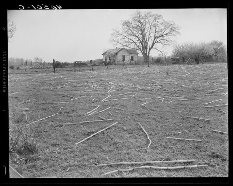 LOCFarmhouse and cane near Sterling. Loudoun County, Virginia1940
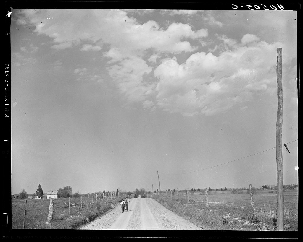
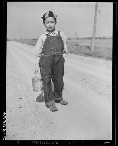 LOCBoy on way home from school. Can contains his lunch. Near S…1940
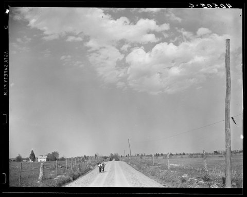 LOCUntitled photo, possibly related to: Boys on way home from …1940
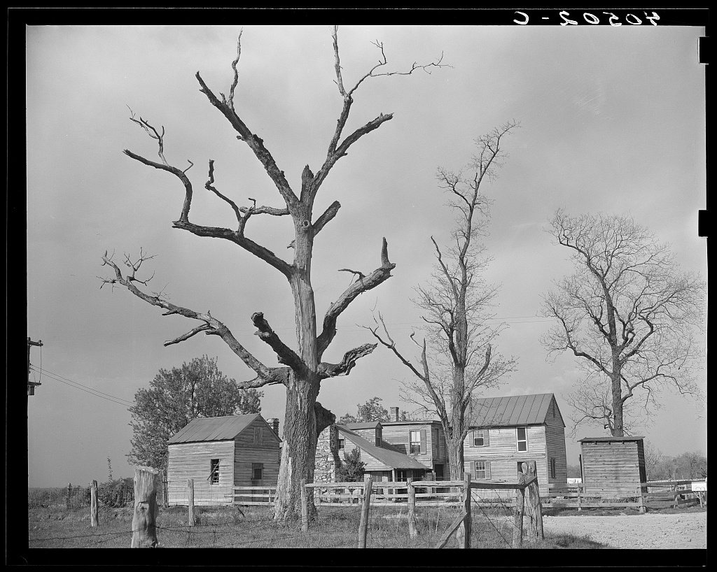
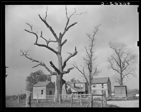 LOCHouses at crossroads, two miles west of Sterling1940
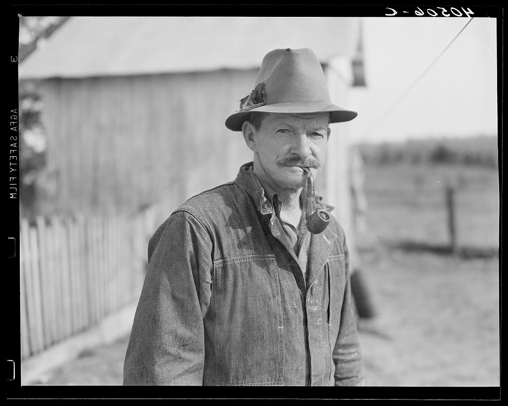
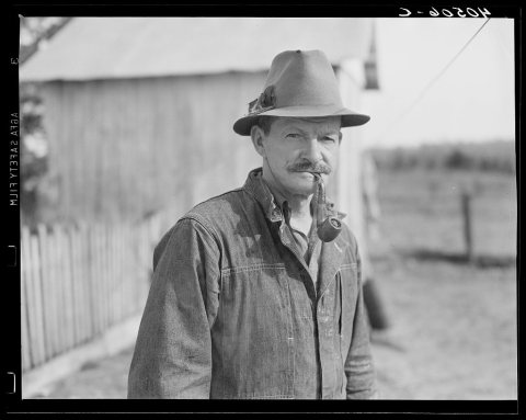 LOCRetired railroad engineer who owns twenty-five acre farm. R…1940
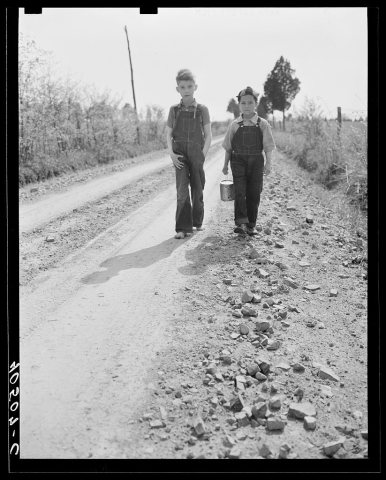 LOCBoys on way home from school. Near Sterling, Virgina1940
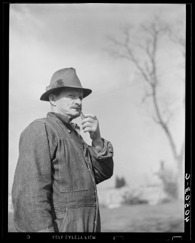 LOCUntitled photo, possibly related to: Retired railroad engin…1940
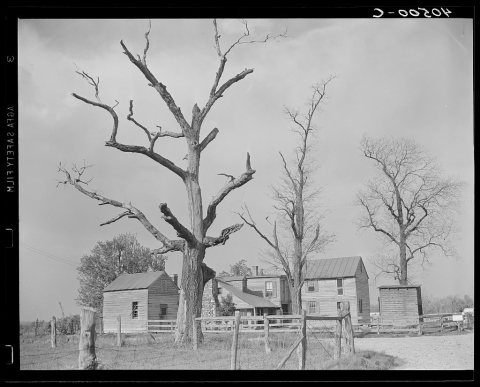 LOCUntitled photo, possibly related to: Houses at crossroads, …1940
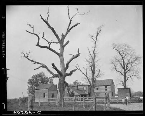 LOCUntitled photo, possibly related to: Houses at crossroads, …1940
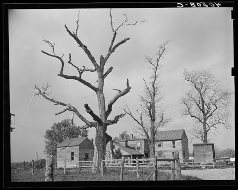 LOCUntitled photo, possibly related to: Houses at crossroads, …1940
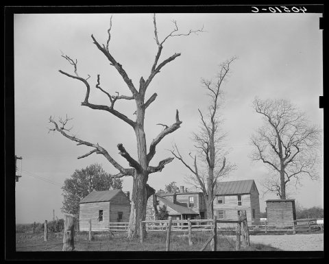 LOCUntitled photo, possibly related to: Houses at crossroads, …1940
1990s
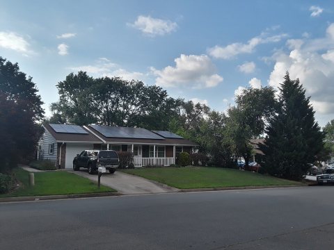 CommonsHouse in Sterling Park2023
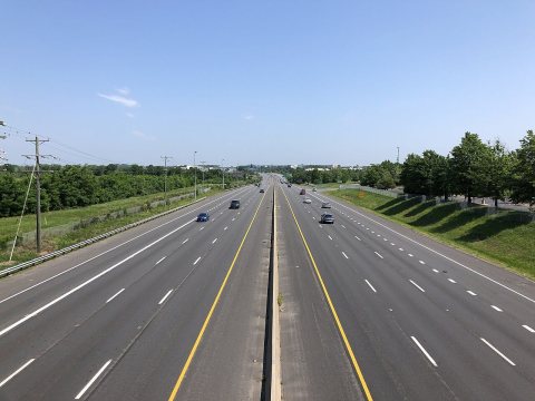 Commons2022-05-22 11 11 51 View north along Virginia State Route 2…2022
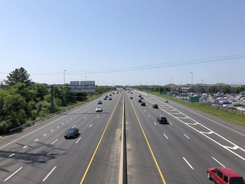 Commons2022-05-22 11 10 50 View south along Virginia State Route 2…2022
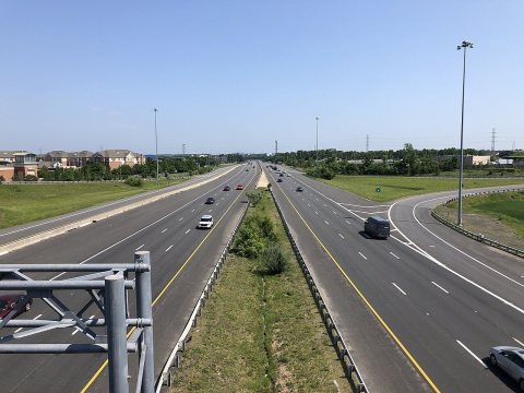 Commons2022-05-22 11 03 29 View north along Virginia State Route 2…2022
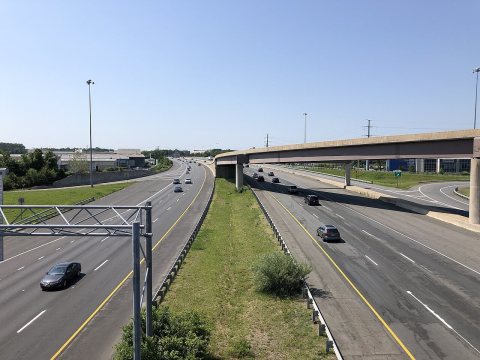 Commons2022-05-22 11 01 33 View south along Virginia State Route 2…2022
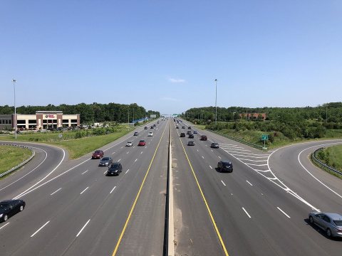 Commons2022-05-22 10 55 45 View north along Virginia State Route 2…2022
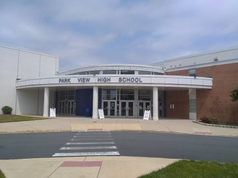 CommonsPark View High School main entrance May 20212021
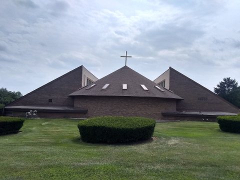 CommonsChrist the Redeemer Catholic Church (Sterling, VA) in July …2021
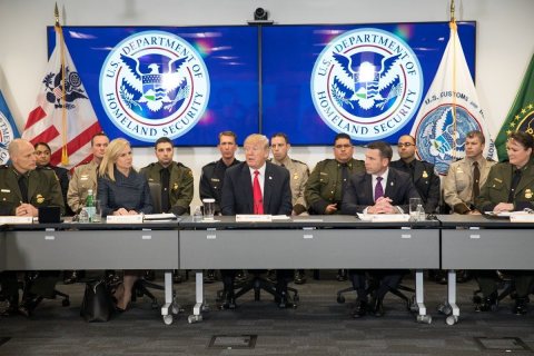 CommonsDonald Trump USCBP National Targeting Center 20182018
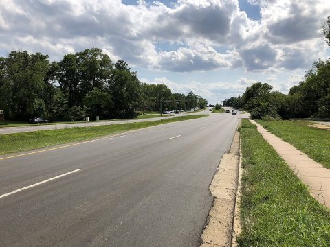 Commons2018-07-29 15 52 16 View west along Virginia State Route 84…2018
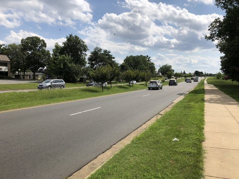 Commons2018-07-29 15 41 27 View west along Virginia State Route 84…2018
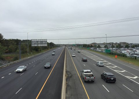 Commons2017-10-13 12 23 13 View south along Virginia State Route 2…2017
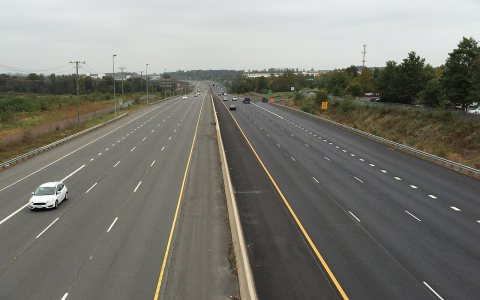 Commons2017-10-13 12 22 20 View north along Virginia State Route 2…2017
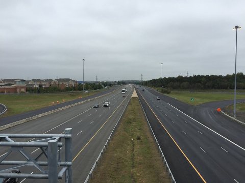 Commons2017-10-13 12 04 22 View north along Virginia State Route 2…2017
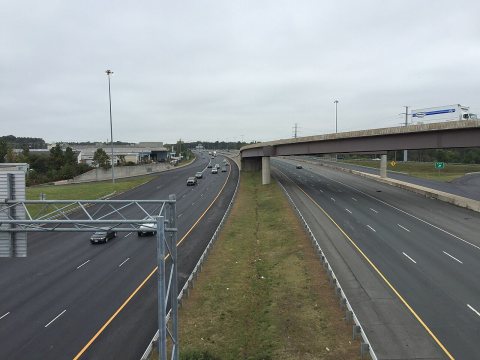 Commons2017-10-13 12 03 36 View south along Virginia State Route 2…2017
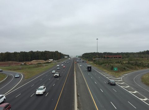 Commons2017-10-13 11 59 09 View north along Virginia State Route 2…2017
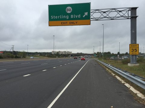 Commons2017-10-12 12 44 56 View south along Virginia State Route 2…2017
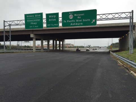 Commons2017-10-12 11 54 21 View north along Virginia State Route 2…2017
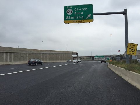 Commons2017-10-12 11 53 42 View north along Virginia State Route 2…2017
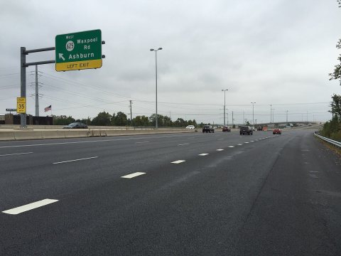 Commons2017-10-12 11 52 49 View north along Virginia State Route 2…2017
 CommonsWPFG Bowling Tournnament2015
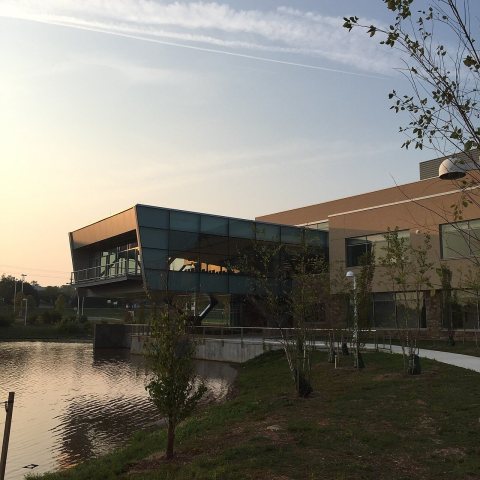 CommonsLOUDOUN NOVA CAMPUS, MORNING2015
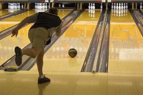 CommonsBowling WPFG2015
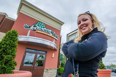 CommonsThe Greene Turtle - Dulles Town Center2013
 CommonsDulles Terminal detail2013
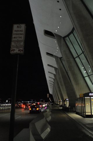 CommonsDulles Terminal Outside North2013
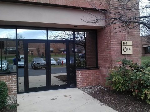 CommonsPotomac, VA, USA2012
 CommonsMuay Thai Championship Boxing - Anthony Cordero2011
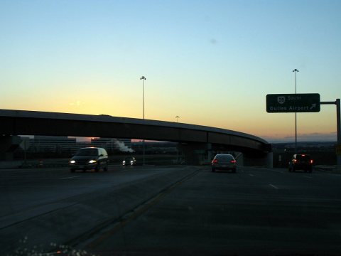 CommonsWaxpool-282006
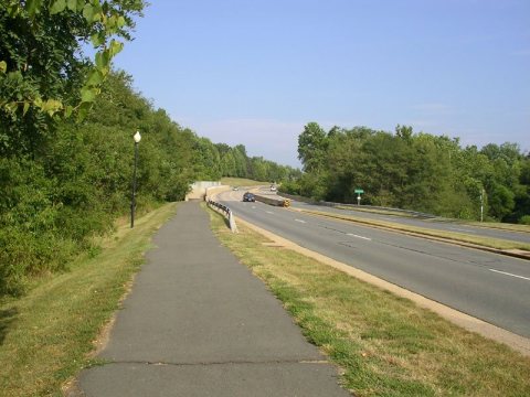 CommonsAlgonkian-Pkwy-Sterling2006
1 historic place in Sterling
1 place in Sterling is on the National Register of Historic Places, the country’s official list of buildings and places worth saving.
Where they are
When they were listed
Then & now
No then-and-now pairs yet. Take a photo from the same spot as Farmhouse and cane near Sterling. Loudoun County, Virginia (1940) and it appears here side by side.
🔁 Retake this view · +15Stories next door
nearby towns’ historyFrom Wikimedia Commons (30) and the Library of Congress (11). Images are copied here with their credits and licenses, shown on each photo’s page. Refreshed monthly.