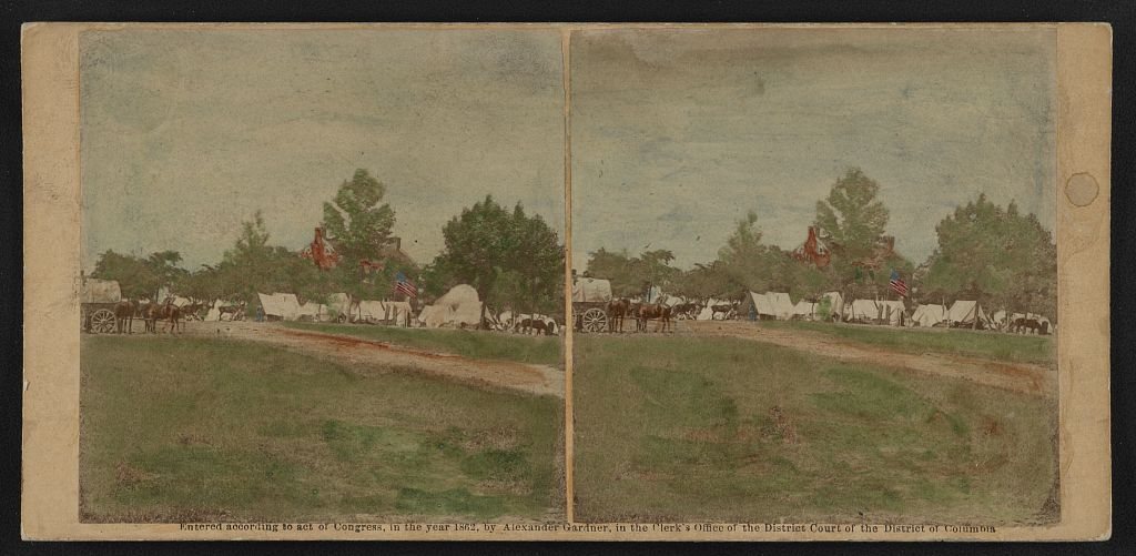
A history of Manassas,
since 1975
Postcards, papers and photographs of Manassas from public archives, woven together by decade. Neighbors fill in the gaps.
The story
from WikipediaRead it all ↗In 1851, a post office and railroad stop servicing the Orange and Alexandria Railroad (O&A) were established in the area then known as Tudor Hall, named for a nearby plantation home. Soon after, construction began on the Manassas Gap Railroad (MGRR), which was planned to run westward from the O&A at Tudor Hall to the Shenandoah Valley, by way of Manassas Gap. By 1854, the MGRR was completed between Tudor Hall and Strasburg.
In the early 1860s, following the construction of the railroad junction, the village of Tudor Hall became known as Manassas Junction.
Text from Wikipedia, licensed CC BY-SA 4.0.
Timeline
built from the dates on the items belowFinish Manassas’s story
Most archives stop around 1920. The photos from after that are in family albums, not libraries.
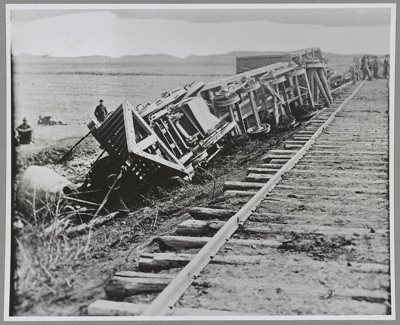
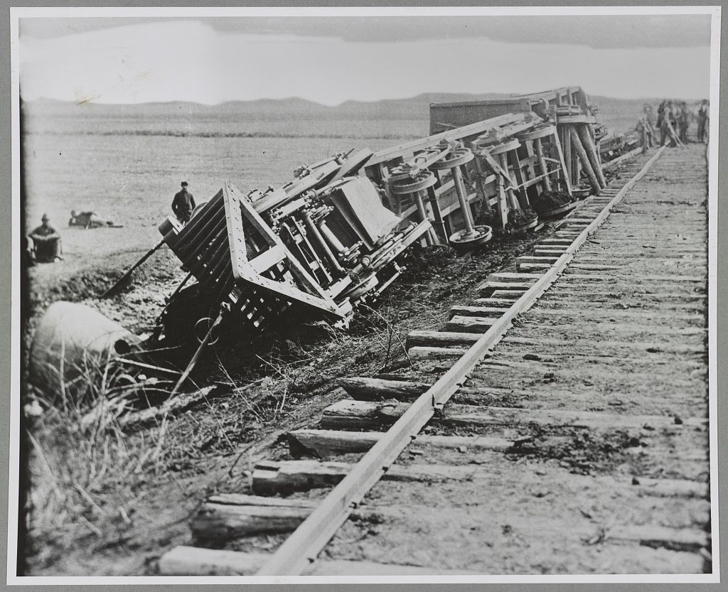
2 of 10 decades since 1900 have photos 🔁Retake an old viewDerailed train, 1861: stand where they stood+15 📦Share a family photoSign in to add one+10Famous people from Manassas
See all 41 →


Manassas, decade by decade
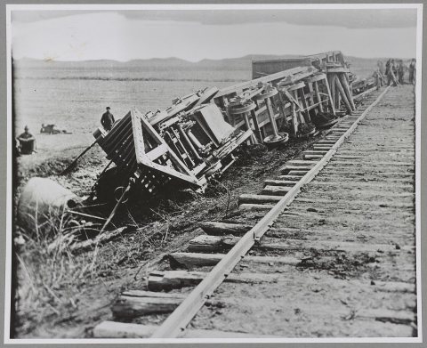 CommonsDerailed train1861
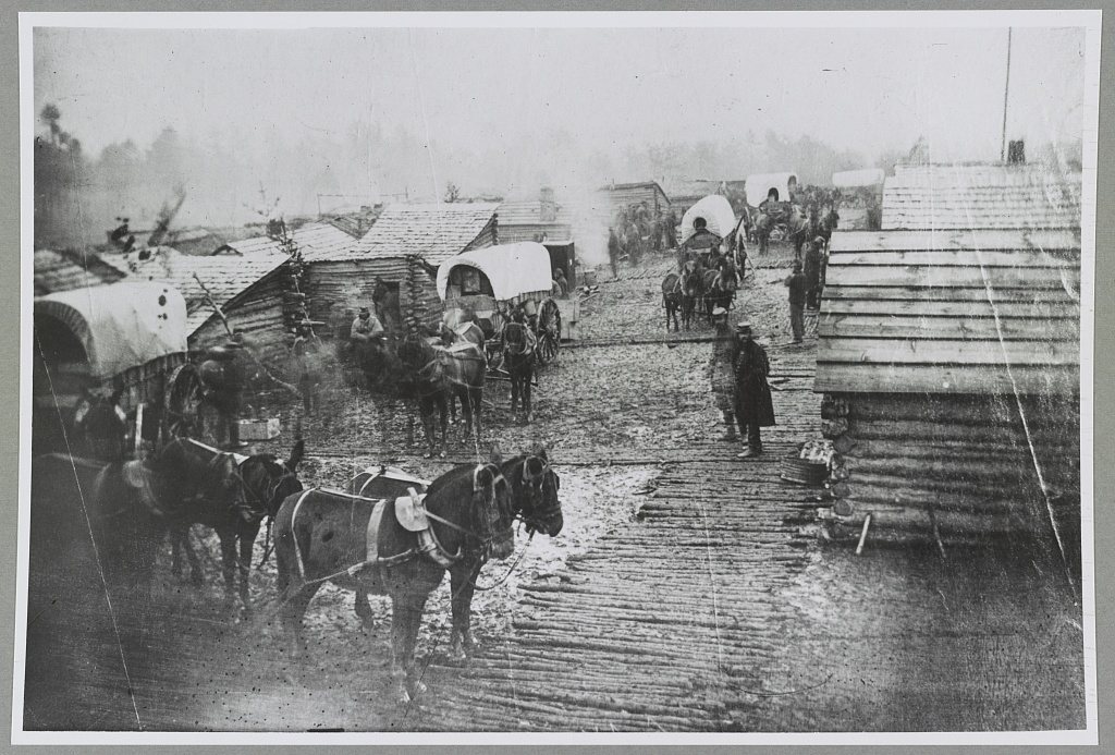
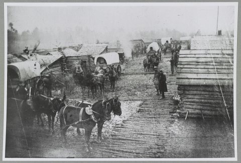 LOCWinter camp near Manassas, Virginia1861
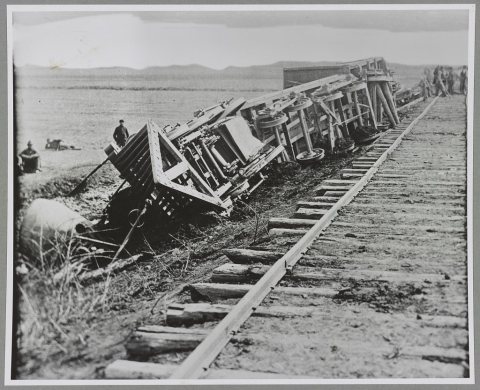 LOCDerailed train1861
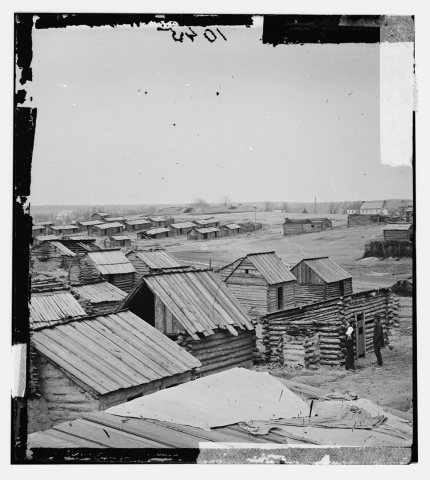 CommonsManassas, Virginia. Confederate winter quarters LOC cwpb.01…1862
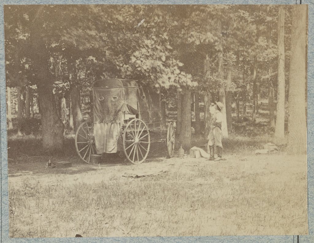
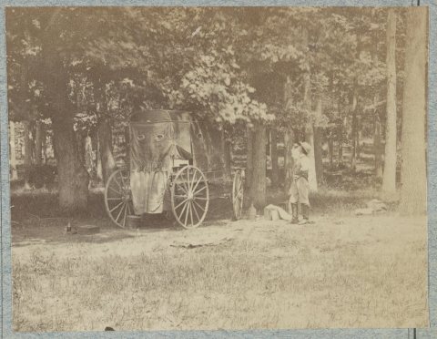 CommonsPhotographer at Manassas, July 18621862
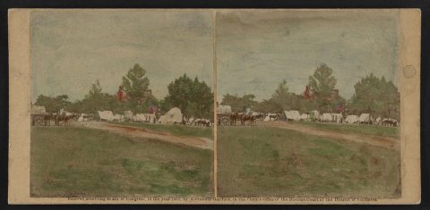 LOCArmy guards Hdqtrs at Manassas1862
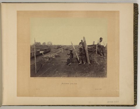 LOCManassas Junction1862
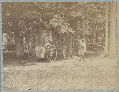 LOCPhotographer at Manassas, July 18621862
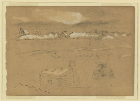 LOCManassas gap1862
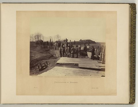 LOCFortifications at Manassas1862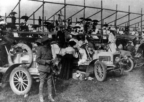
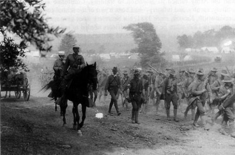
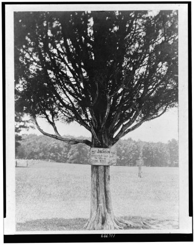 CommonsPlaque attached to tree "Here Jackson was wounded and got t…1910
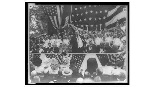 CommonsManassas Peace Jubilee (B&W)1911
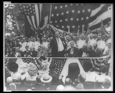 CommonsPresident Taft speaking at Manassas Court House-Governor Wi…1911
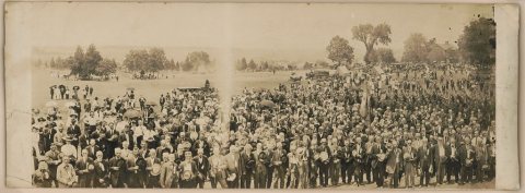 LOCManassas Peace Jubilee1911
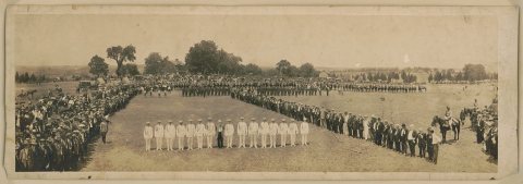 LOCManassas Peace Jubilee1911
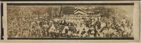 LOCPresident Taft and Virginia Governor and Confederate vetera…1911
1990s
5 historic places in Manassas
Manassas has 5 listings on the National Register, and they protect 210 historic buildings, because Manassas Historic District alone counts 206.
Where they are
When they were listed
Then & now
No then-and-now pairs yet. Take a photo from the same spot as Derailed train (1861) and it appears here side by side.
🔁 Retake this view · +15Stories next door
nearby towns’ historyFrom Wikimedia Commons (8) and the Library of Congress (10). Images are copied here with their credits and licenses, shown on each photo’s page. Refreshed monthly.