The story
from WikipediaRead it all ↗As early as 1794, Greenville was platted and divided into 14 lots of 1-acre (4,000 m2) and sold by Thomas and Jane Steele. Greenville soon became a very busy stagecoach stop. This was because there were 3 major roads all intersecting at or near Greenville. One road connected Greenville with Staunton, another ran from Waynesboro to Middlebrook, and the south road led to Midway (now Steeles Tavern), Fairfield, and Lexington. The town slowly grew, and by 1810, the population had grown to 162, comparing to Staunton's 1225, and Waynesboro's 250. An 1835 account of Greenville said that it had an extensive manufacturing flour mill and a woolen manufactory, two physicians in the area, contained 50 dwelling houses, 3 general stores, 2 taverns, 1 academy, 2 tanyards, 2 saddlers, 2 tailors, 1 blacksmith shop, 1 cabinet maker, 1 wheelwright, 1 saddle tree maker, 3 house carpenters, 1 hatter, and 4 …
Text from Wikipedia, licensed CC BY-SA 4.0.
Start Greenville’s collection
The first neighbors to add old photos shape how Greenville’s history is told.
0 of 10 decades since 1900 have photos 📦Share a family photoSign in to add one+10Famous people from Greenville
See all 4 →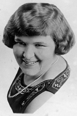

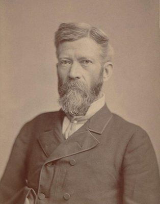
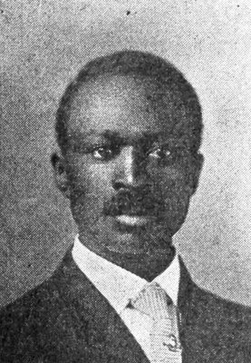
Greenville, decade by decade
2000
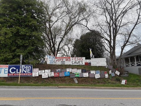 CommonsHouse with pro-Trump and anti-Democratic signage along U.S.…2022
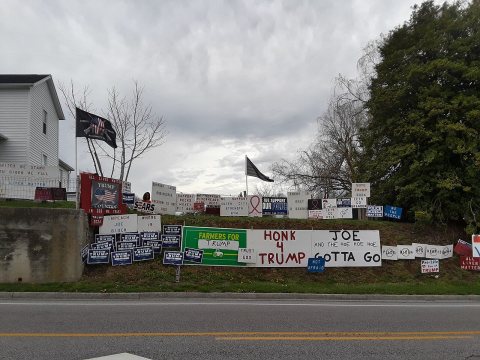 CommonsHouse with pro-Trump and anti-Democratic signage along U.S.…2022
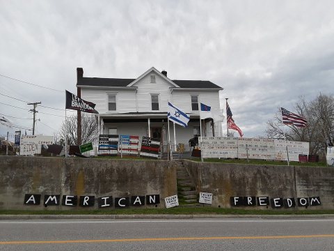 CommonsHouse with pro-Trump and anti-Democratic signage along U.S.…2022
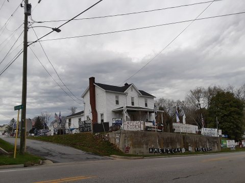 CommonsHouse with pro-Trump and anti-Democratic signage along U.S.…2022
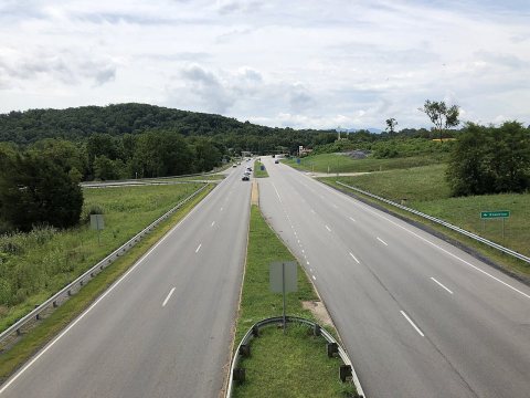 Commons2019-08-02 11 42 05 View south along U.S. Route 11 (Lee Jac…2019
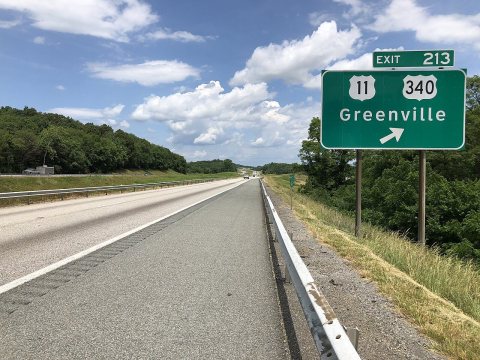 Commons2019-06-06 13 51 29 View east along Interstate 64 and north…2019
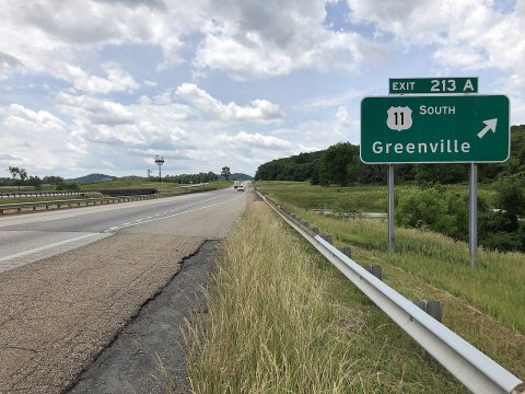 Commons2019-06-06 13 17 42 View west along Interstate 64 and south…2019
 CommonsLarry and Jenny Keel VIP Campfire Jam 2 Greenville VA Novem…2012
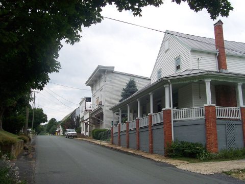 CommonsGreenvillemain2008
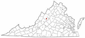 CommonsVAMap-doton-Greenville2005
1 historic place in Greenville
1 place in Greenville is on the National Register of Historic Places, the country’s official list of buildings and places worth saving.
Where they are
When they were listed

Then & now
When neighbors add old photos, retakes from the same spot appear here side by side.
Stories next door
nearby towns’ historyFrom Wikimedia Commons (10). Images are copied here with their credits and licenses, shown on each photo’s page. Refreshed monthly.