Dumfries’s history is
mostly unwritten
The public archives hold only 2 old photos of Dumfries. The rest are in attics, shoeboxes and the historical society. Help start the collection.
The story
from WikipediaRead it all ↗The history of Dumfries began as early as 1690 when Richard Gibson erected a gristmill on Quantico Creek. A customhouse and warehouse followed in 1731, and many others cropped up along the estuary by 1732. The Town of Dumfries was formally established on 60 acres (240,000 m2) of land at the head of the harbor of Quantico Creek, provided by John Graham. He named the town after his birthplace, Dumfries, Scotland.
After much political maneuvering, the General Assembly established Dumfries as the first of seven townships in the county. Dumfries received its charter on May 11, 1749, making it the oldest continuously chartered town in Virginia.
Text from Wikipedia, licensed CC BY-SA 4.0.
Timeline
built from the dates on the items belowStart Dumfries’s collection
The first neighbors to add old photos shape how Dumfries’s history is told.
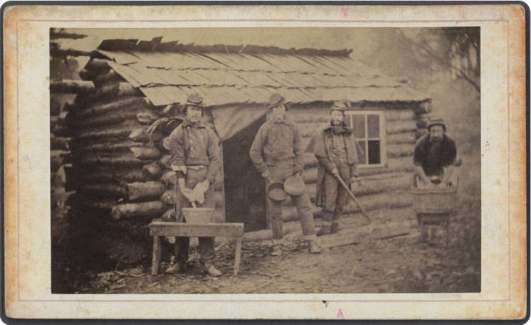
0 of 10 decades since 1900 have photos 🔁Retake an old viewSoldiers of the First Texas Infan…, 1861: stand where they stood+15 📦Share a family photoSign in to add one+10Famous people from Dumfries
See all 14 →


Dumfries, decade by decade
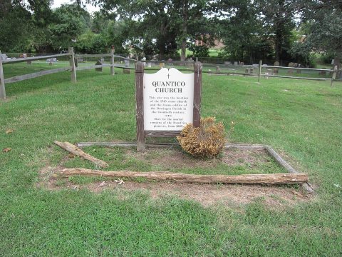
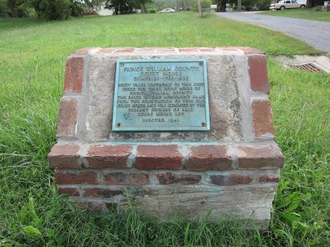
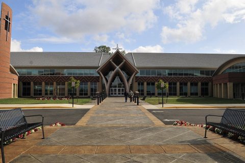
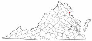
2 historic places in Dumfries
2 places in Dumfries are on the National Register of Historic Places, the country’s official list of buildings and places worth saving.
Where they are
When they were listed

Then & now
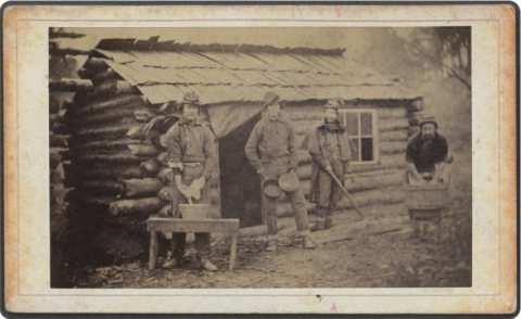
No then-and-now pairs yet. Take a photo from the same spot as Soldiers of the First Texas Infantry, Confederate States Army (1861) and it appears here side by side.
🔁 Retake this view · +15Stories next door
nearby towns’ historyFrom Wikimedia Commons (5) and the Library of Congress (1). Images are copied here with their credits and licenses, shown on each photo’s page. Refreshed monthly.