A history of Crimora,
then and now
Postcards, papers and photographs of Crimora from public archives, woven together by decade. Neighbors fill in the gaps.
The story
from WikipediaRead it all ↗What put Crimora on the map was the open-pit Crimora Manganese Mine that started in 1866. The mineral manganese was used in the production of steel. Mining at Crimora continued intermittently under a series of owners until March 1946. The Crimora deposit is about 500 feet wide, 200 feet deep, and half a mile long and consists of clay with scattered lumps of manganese ore. It lies under a layer of clay and quartz fragments about 15 feet thick. The Crimora deposit produced more manganese than any other single deposit in the United States and, at one time, the mining operations there were among the largest in the world.
Text from Wikipedia, licensed CC BY-SA 4.0.
Timeline
built from the dates on the items belowFinish Crimora’s story
Most archives stop around 1920. The photos from after that are in family albums, not libraries.
2 of 10 decades since 1900 have photos 🔁Retake an old viewApril 1971. DETAIL OF SOUTH NAMEP…, 1968: stand where they stood+15 📦Share a family photoSign in to add one+10Crimora, decade by decade
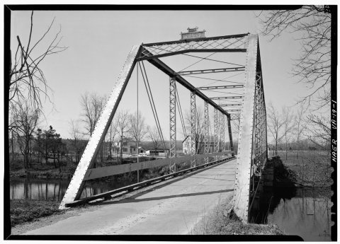
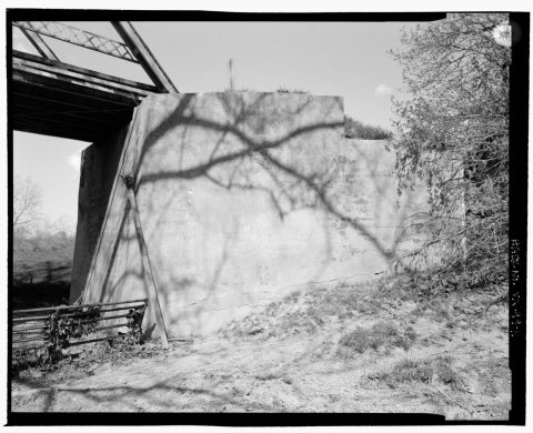
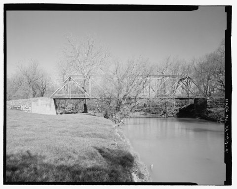
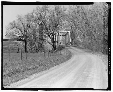
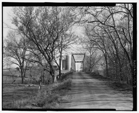
2 historic places in Crimora
2 places in Crimora are on the National Register of Historic Places, the country’s official list of buildings and places worth saving.
Where they are
When they were listed


Then & now
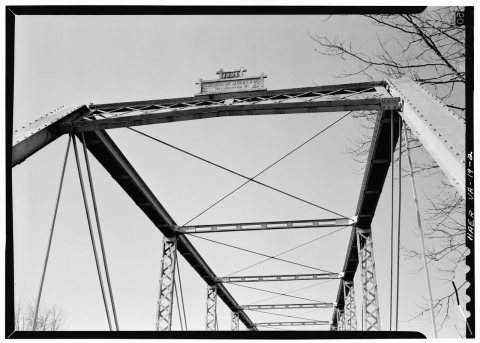
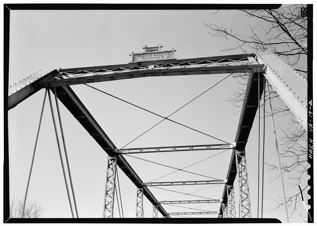
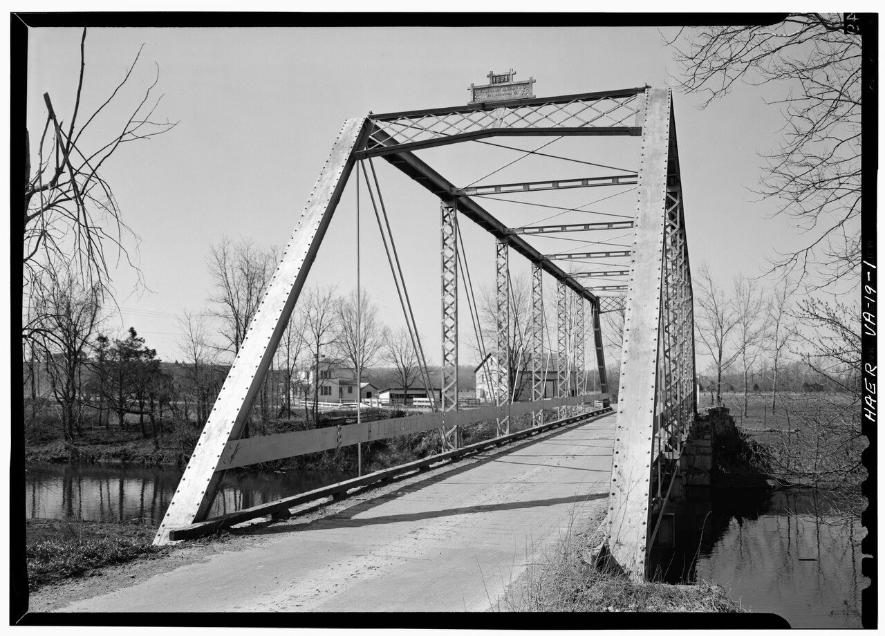
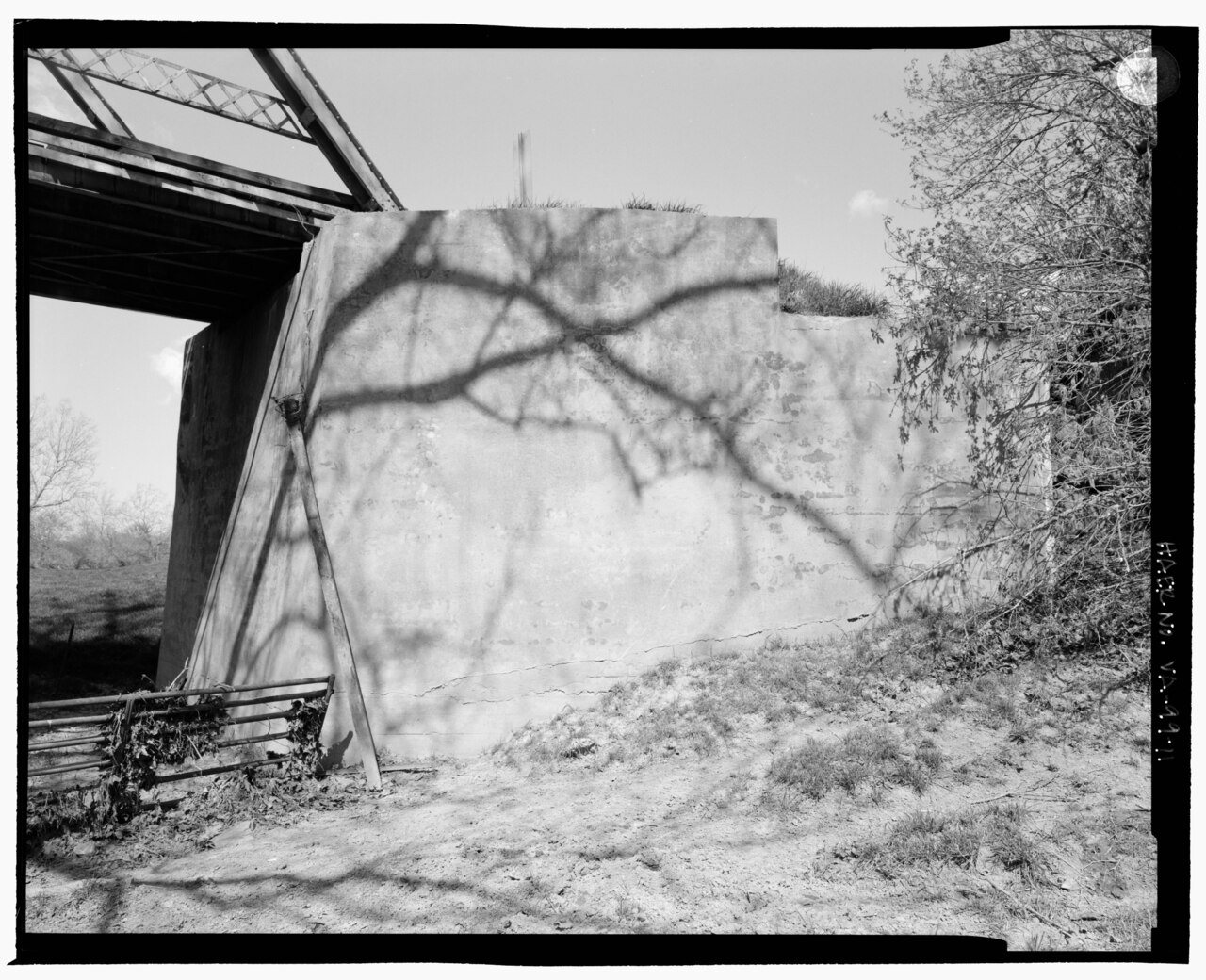
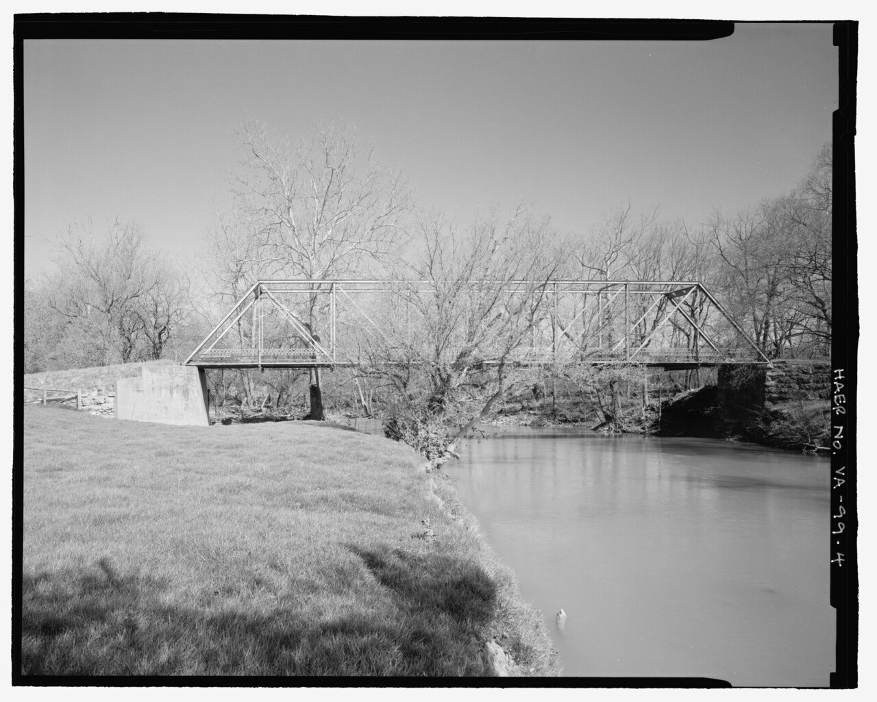
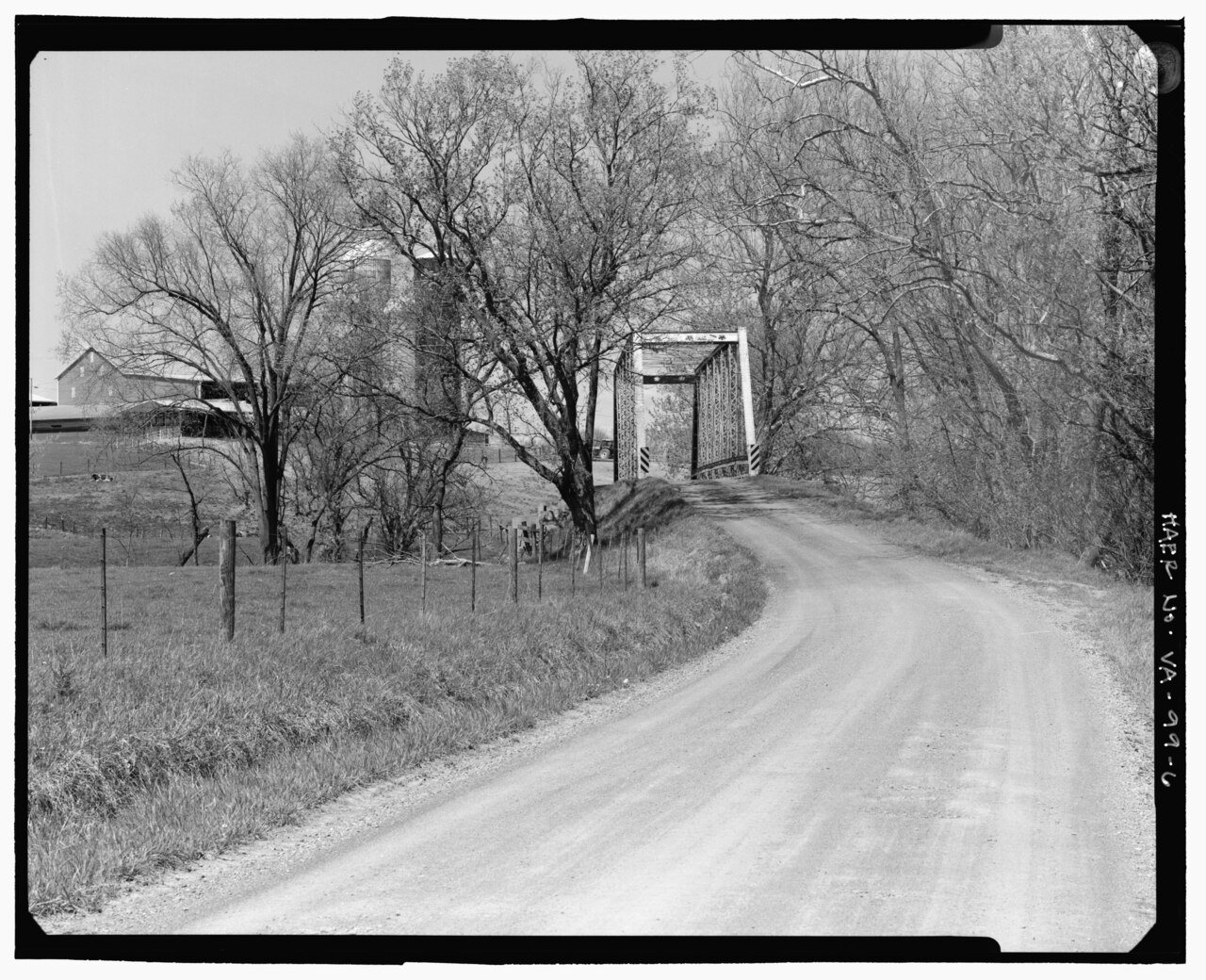
No then-and-now pairs yet. Take a photo from the same spot as April 1971. DETAIL OF SOUTH NAMEPLATE. - South River Pratt Through-Truss Bridge, State Route 612, spanning South River,… (1968) and it appears here side by side.
🔁 Retake this view · +15Stories next door
nearby towns’ historyFrom Wikimedia Commons (6). Images are copied here with their credits and licenses, shown on each photo’s page. Refreshed monthly.