The story
from WikipediaRead it all ↗The Countryside subdivision was conceived in the middle 1970s when a tract of 1,000 acres (400 ha) of open farmland was subdivided in preparation for a planned housing development. Construction on homes began in 1981 and continued through 1991.
The Countryside CDP covers about 2.6 square miles (6.7 km2) and homes in Countryside have a 20165 (Potomac Falls or Sterling) ZIP code.
The majority of the homes in Countryside were built by Pulte Homes and are of the colonial architectural style. Most of the single-family homes have two stories and a basement. CountrySide Proprietary is the community's homeowners association.
Text from Wikipedia, licensed CC BY-SA 4.0.
Start Countryside’s collection
The first neighbors to add old photos shape how Countryside’s history is told.
0 of 10 decades since 1900 have photos 📦Share a family photoSign in to add one+10Countryside, decade by decade
2000
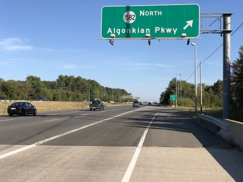 Commons2019-09-20 17 02 54 View east along Virginia State Route 7 …2019
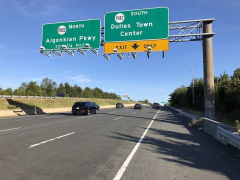 Commons2019-09-20 17 00 56 View east along Virginia State Route 7 …2019
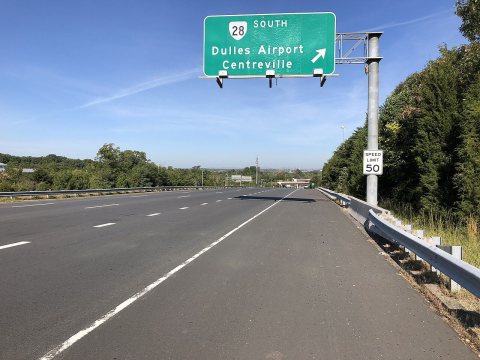 Commons2019-09-20 09 58 06 View west along Virginia State Route 7 …2019
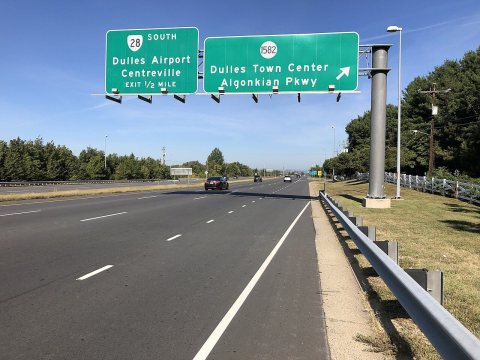 Commons2019-09-20 09 56 32 View west along Virginia State Route 7 …2019
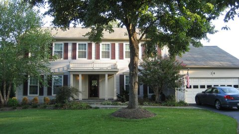 CommonsCountryside VA house2008
Then & now
When neighbors add old photos, retakes from the same spot appear here side by side.
Stories next door
nearby towns’ historyFrom Wikimedia Commons (5). Images are copied here with their credits and licenses, shown on each photo’s page. Refreshed monthly.