
Chantilly’s history is
mostly unwritten
The public archives hold only 4 old photos of Chantilly. The rest are in attics, shoeboxes and the historical society. Help start the collection.
The story
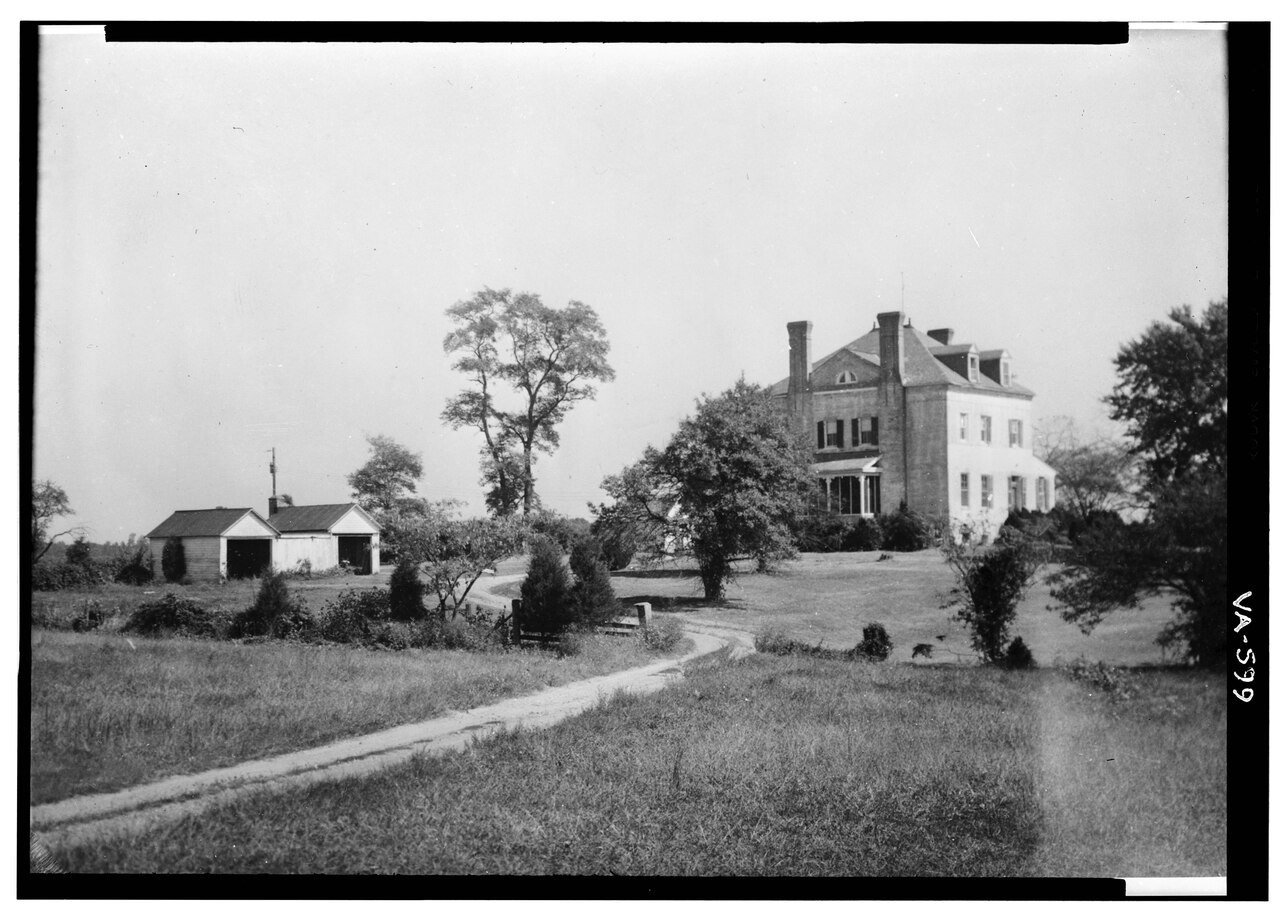
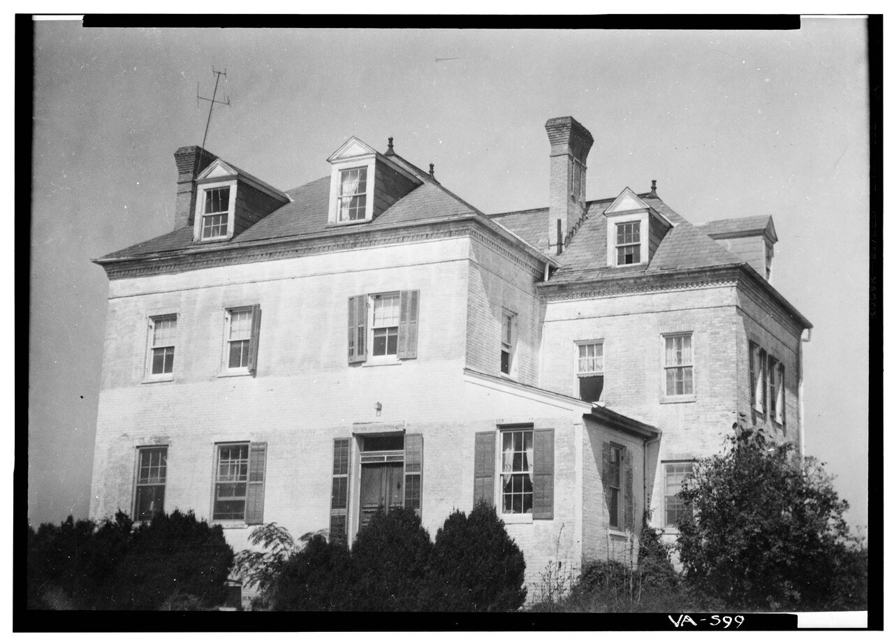
from WikipediaRead it all ↗Chantilly was home to a number of colonial plantations in the 1700s, including the Sully Plantation (now the Sully Historic Site) built by Richard Bland Lee I. Other plantations included George Richard Lee Turberville's "Leeton Grove" (originally a 5,000+ acre plantation, the main house of which still stands at 4619 Walney Rd.), the John Hutchison Farm, and the Chantilly Plantation. During the Civil War, federal troops destroyed by fire the Chantilly Plantation manor house. One building remains, a stone house across Route 50 from the Greenbriar Shopping Center. While it is not clear what this stone house was used for, most historical evidence suggests it was probably a plantation overseer's quarters during the antebellum period, and a tavern or boarding house following the war. After the war, Cornelia Stuart, who had become deeply in debt, sold her 1,064-acre (431 ha) Chantilly estate. …
Text from Wikipedia, licensed CC BY-SA 4.0.
Timeline
built from the dates on the items belowStart Chantilly’s collection
The first neighbors to add old photos shape how Chantilly’s history is told.
2 of 10 decades since 1900 have photos 🔁Retake an old viewLeeton, 4619 Centreville Road, 1933: stand where they stood+15 📦Share a family photoSign in to add one+10Chantilly, decade by decade
1970s


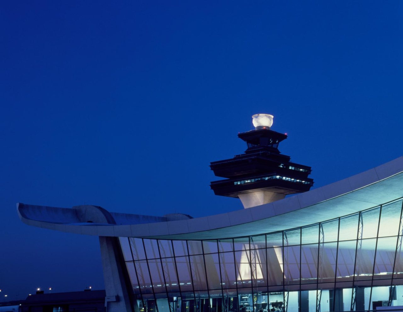
1990s

Then & now
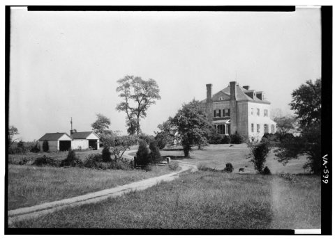
No then-and-now pairs yet. Take a photo from the same spot as Leeton, 4619 Centreville Road (1933) and it appears here side by side.
🔁 Retake this view · +15Stories next door
nearby towns’ historyFrom Wikimedia Commons (4) and the Library of Congress (2). Images are copied here with their credits and licenses, shown on each photo’s page. Refreshed monthly.