A history of Cape Charles,
since 1884
Postcards, papers and photographs of Cape Charles from public archives, woven together by decade. Neighbors fill in the gaps.
The story
from WikipediaRead it all ↗Cape Charles, located close to the mouth of the Chesapeake Bay, on Virginia's Eastern Shore, was founded in 1884 at a place formerly known as "Cherrystone Harbor" as a planned community by railroad and ferry interests. In 1883, William Lawrence Scott became president of the New York, Philadelphia and Norfolk Railroad Company (NYP&N), and purchased three plantations, including "Old Plantation Neck", comprising approximately 2,509 acres from the heirs of former Virginia Governor Littleton Waller Tazewell. Of this land, he ceded 40 acres to the NYP&N, and 136 acres to create the Town of Cape Charles (technically known as the "Municipal Corporation of Cape Charles") named Cape Charles for the geographical cape found on the Point and headland to the south. In that same year, construction of the railroad began. In Cape Charles, the Railroad Company built a harbor port to handle steamships and…
Text from Wikipedia, licensed CC BY-SA 4.0.
Timeline
built from the dates on the items belowFinish Cape Charles’s story
Most archives stop around 1920. The photos from after that are in family albums, not libraries.
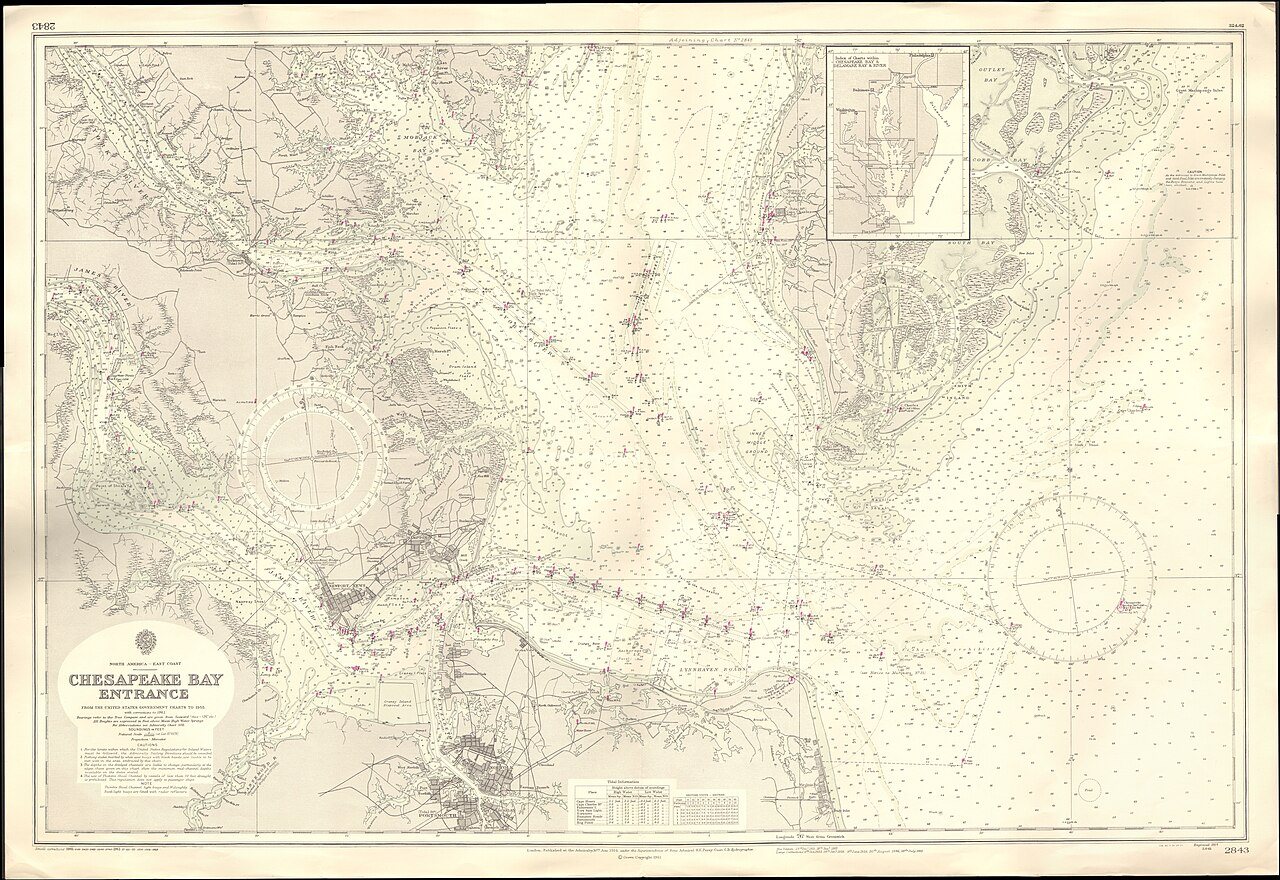
3 of 10 decades since 1900 have photos 🔁Retake an old viewAdmiralty Chart No 2843 Chesapeak…, 1914: stand where they stood+15 📦Share a family photoSign in to add one+10Cape Charles, decade by decade
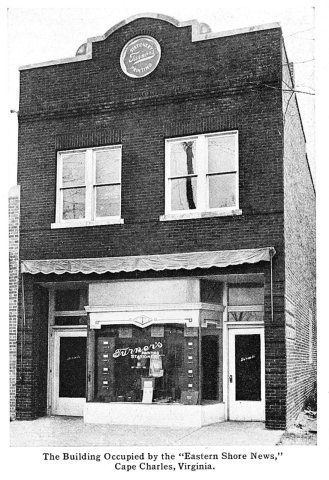
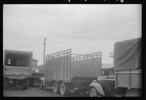
1990s
3 historic places in Cape Charles
Cape Charles has 3 listings on the National Register, and they protect 588 historic buildings, because Cape Charles Historic District alone counts 586.
Where they are
When they were listed
 Listed 1980Stratton Manor
 Listed 1991Cape Charles Historic DistrictListed 2023Cape Charles Rosenwald School
Then & now
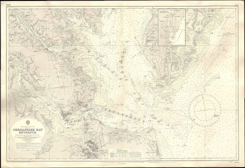
No then-and-now pairs yet. Take a photo from the same spot as Admiralty Chart No 2843 Chesapeake Bay Entrance, Published 1914, Large Corrections 1961 (1914) and it appears here side by side.
🔁 Retake this view · +15Stories next door
nearby towns’ historyFrom Wikimedia Commons (5) and the Library of Congress (1). Images are copied here with their credits and licenses, shown on each photo’s page. Refreshed monthly.