Bastian’s history is
mostly unwritten
The public archives hold only 2 old photos of Bastian. The rest are in attics, shoeboxes and the historical society. Help start the collection.
The story
from WikipediaRead it all ↗The small Appalachian town of Bastian, Virginia, was first settled between the years of 1905 and 1908. Bastian was originally named Parkersburg after Parker Hornbarger, who, along with Jack Hager, owned most of the land the town was built upon. Much of this land was later owned by both James Starks and Eli Leedy. The name "Bastian" came from the manager of Bland County's only railroad, F.E. Bastian. The children of Bastian attended a one-room schoolhouse until 1923, when a larger school was built. Schools located near Hunting Camp Creek accommodated local students until then. With the arrival of the Virginia Hardwood Lumber Company in 1927, Bastian's population greatly increased. This increase made additional classrooms a necessity. Several small schools were built during this time. It was not until 1955, however, that the modern brick Bastian Elementary school building was built at the…
Text from Wikipedia, licensed CC BY-SA 4.0.
Timeline
built from the dates on the items belowStart Bastian’s collection
The first neighbors to add old photos shape how Bastian’s history is told.
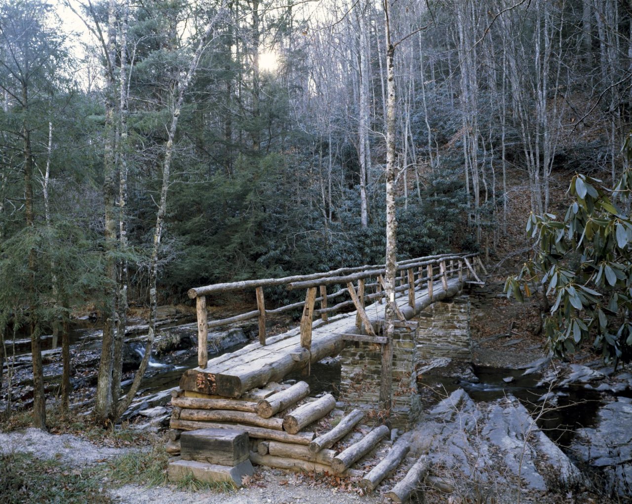
1 of 10 decades since 1900 have photos 🔁Retake an old viewLittle Wolf Creek footbridge on t…, 1980: stand where they stood+15 📦Share a family photoSign in to add one+10Famous people close to Bastian
See all 22 →
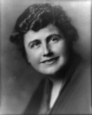


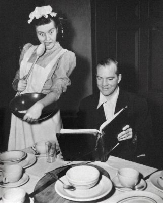
Bastian, decade by decade
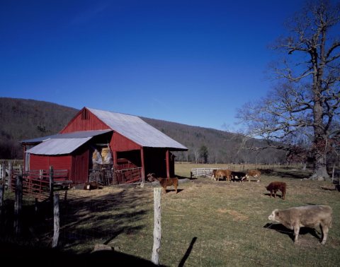
1990s
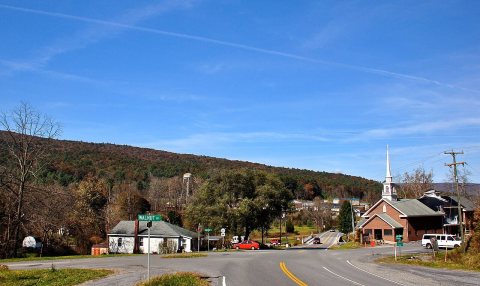
Nothing in Bastian is on the National Register yet
That’s true of most small towns. It doesn’t mean Bastian has no history, only that no one has written up a nomination. The closest listed place is Wolf Creek Bridge in Rocky Gap, 6.8 miles away.
Bastian and the nearest listed places


How a place gets listed
Then & now
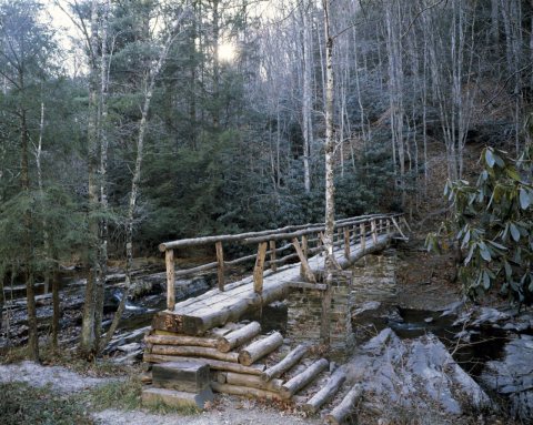
No then-and-now pairs yet. Take a photo from the same spot as Little Wolf Creek footbridge on the Appalachian Trail near Bastian, Virginia (1980) and it appears here side by side.
🔁 Retake this view · +15Stories next door
nearby towns’ historyFrom Wikimedia Commons (1) and the Library of Congress (2). Images are copied here with their credits and licenses, shown on each photo’s page. Refreshed monthly.