Ashland’s history is
mostly unwritten
The public archives hold only 4 old photos of Ashland. The rest are in attics, shoeboxes and the historical society. Help start the collection.
The story
from WikipediaRead it all ↗The Richmond, Fredericksburg and Potomac Railroad initially developed the town in the 1840s as a mineral springs resort with a racetrack. The town was named "Ashland" after native son Henry Clay's estate in Kentucky and was officially incorporated on February 19, 1858. The area had been known as "The Slashes", sometimes translated as "swamp", but which also reflected the small ravines that formed in the sandy clay soil after hard rains.
Text from Wikipedia, licensed CC BY-SA 4.0.
Timeline
built from the dates on the items belowStart Ashland’s collection
The first neighbors to add old photos shape how Ashland’s history is told.
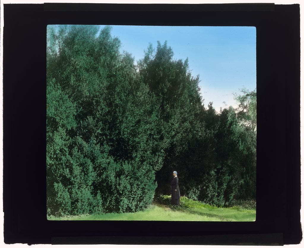
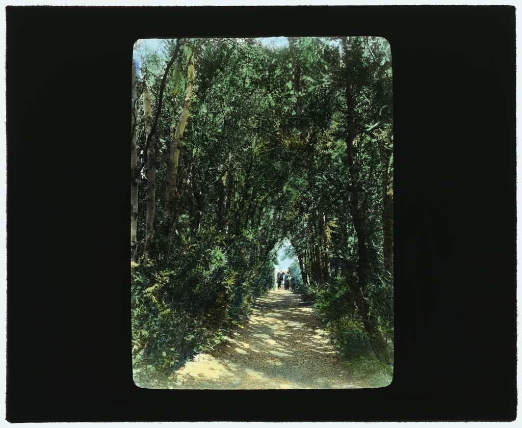
3 of 10 decades since 1900 have photos 🔁Retake an old view"Hickory Hill," Colonel Henry Tay…, 1927: stand where they stood+15 📦Share a family photoSign in to add one+10Ashland, decade by decade
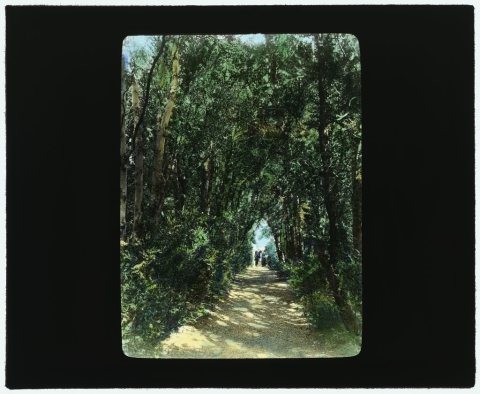
1950s
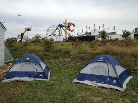 CommonsState Fair tent2012
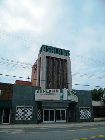 CommonsAshland Theater - Ashland, Virginia - Sarah Stierch2011
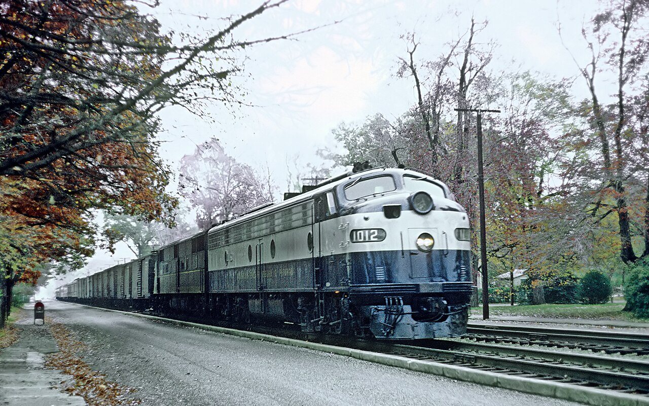
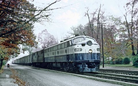
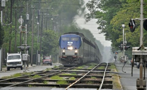 CommonsNorthbound Amtrak Auto-Train2009
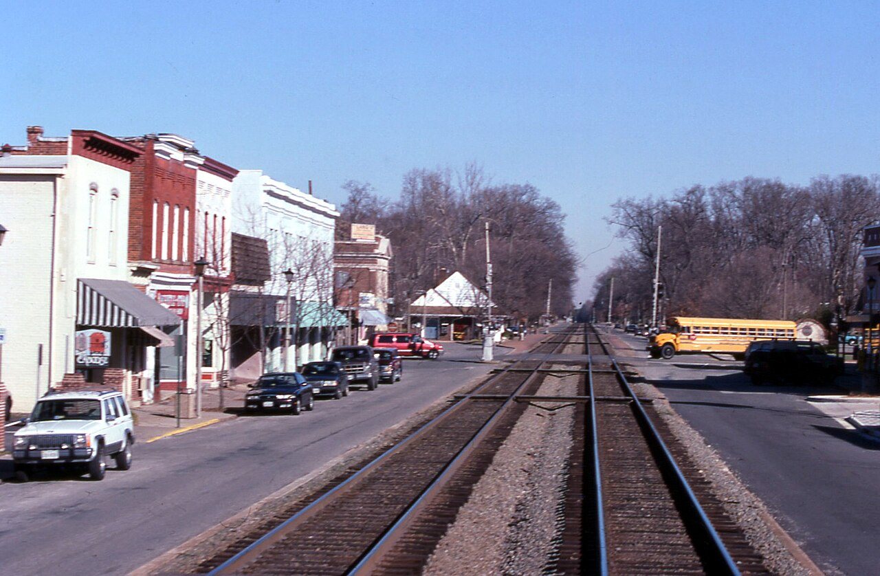
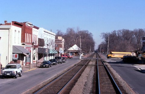
 CommonsWarner greets folks on Main Street2008
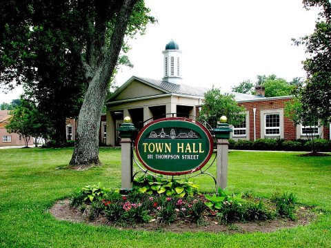 CommonsAshland12007
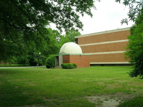 CommonsKeeble Observatory old oblique2006
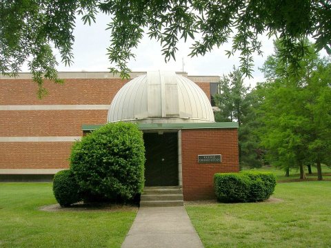 CommonsKeeble Observatory old front2006
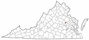 CommonsVAMap-doton-Ashland2005
4 historic places in Ashland
Ashland has 4 listings on the National Register, and they protect 400 historic buildings, because Ashland Historic District alone counts 321.
Where they are
When they were listed
Then & now
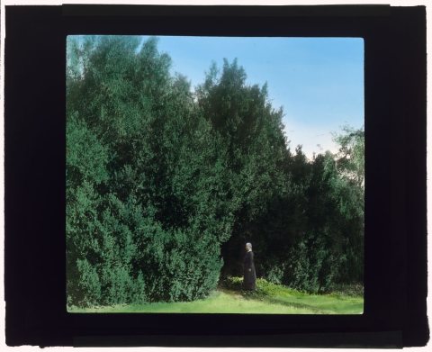
No then-and-now pairs yet. Take a photo from the same spot as "Hickory Hill," Colonel Henry Taylor Wickham house (1927) and it appears here side by side.
🔁 Retake this view · +15Stories next door
nearby towns’ historyFrom Wikimedia Commons (10) and the Library of Congress (2). Images are copied here with their credits and licenses, shown on each photo’s page. Refreshed monthly.