Annandale’s history is
mostly unwritten
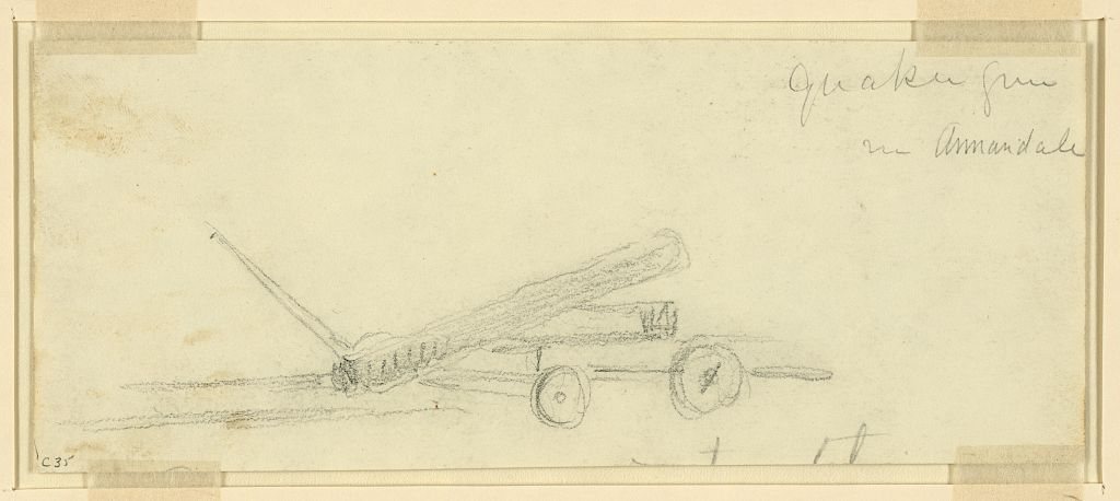
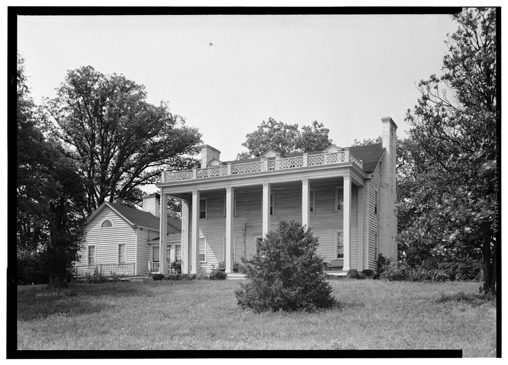
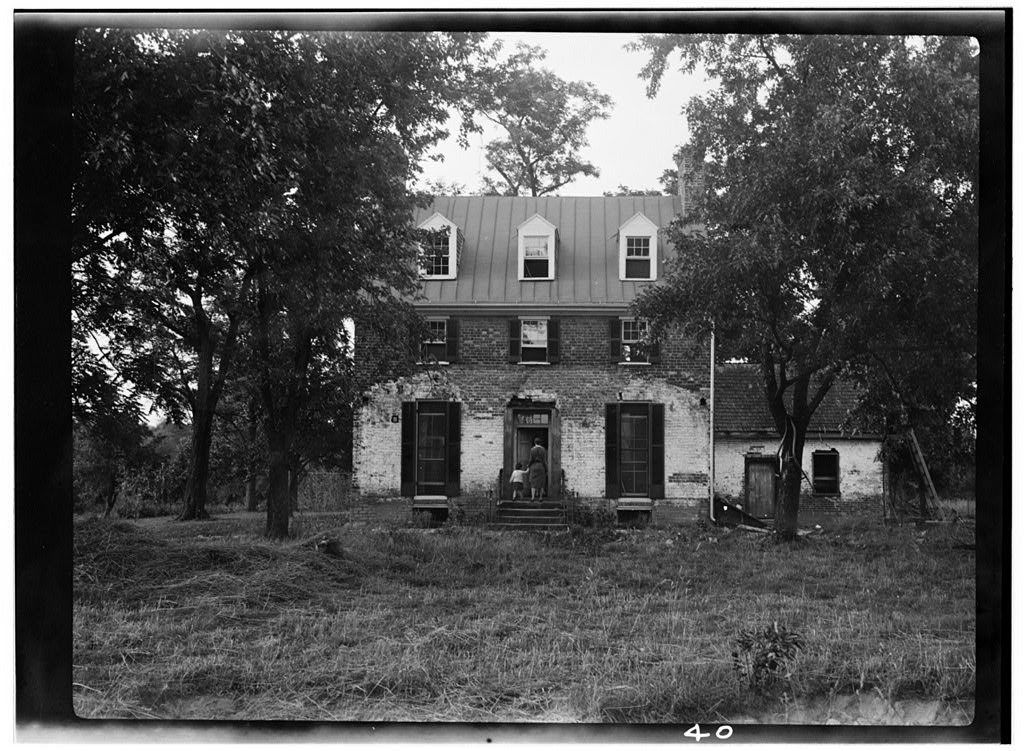
The public archives hold only 4 old photos of Annandale. The rest are in attics, shoeboxes and the historical society. Help start the collection.
The story
from WikipediaRead it all ↗When Europeans arrived in the 17th century, the area around Annandale, which became Fairfax County, was inhabited by an Algonquian-speaking sub-group called the Taux, also known as the Doeg or Dogue.
In 1685, an Englishman, Col. William H. Fitzhugh, purchased over 24,000 acres (37.5 square miles) of wilderness in the area and converted it into one of the largest tobacco plantations in Northern Virginia. It stretched from current day Fairfax City to Springfield and Falls Church and south to Pohick Church. Fitzhugh's descendants later named it "Ravensworth." For over six generations, the Fitzhugh family farmed at Ravensworth and slowly sold off portions of the land.
Text from Wikipedia, licensed CC BY-SA 4.0.
Start Annandale’s collection
The first neighbors to add old photos shape how Annandale’s history is told.
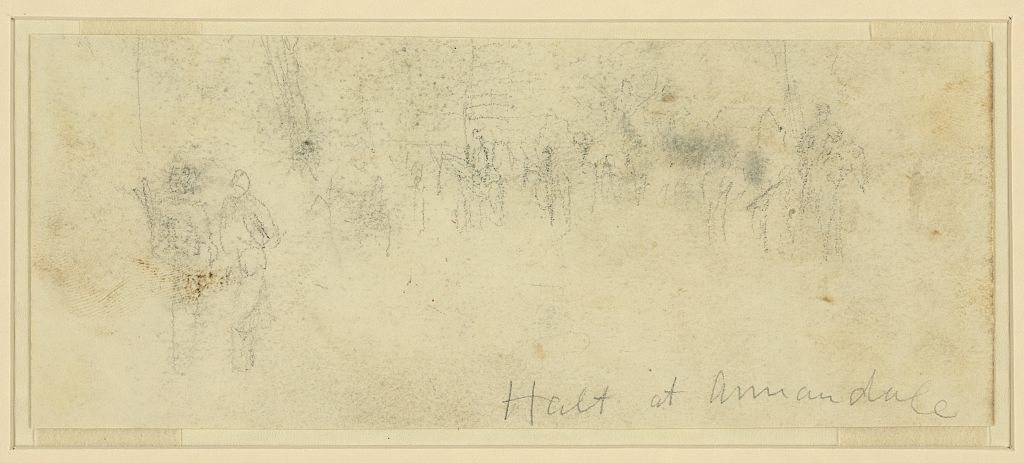
0 of 10 decades since 1900 have photos 🗓️Date a photo2 archive items have no date+2 🔁Retake an old viewHalt at Annandale, 1863: stand where they stood+15 📦Share a family photoSign in to add one+10Famous people from Annandale
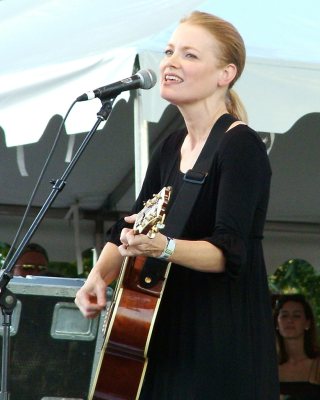
See all 11 →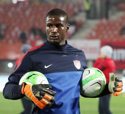
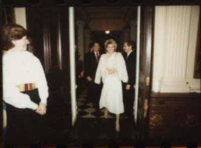
Annandale, decade by decade
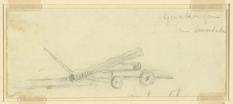
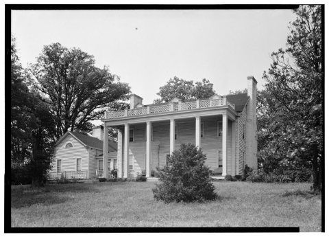
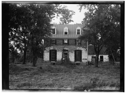
1 historic place in Annandale
Annandale has 1 listing on the National Register, and they protect 291 historic buildings, because Holmes Run Acres Historic District alone counts 291.
Where they are
When they were listed

Then & now
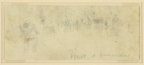
No then-and-now pairs yet. Take a photo from the same spot as Halt at Annandale (1863) and it appears here side by side.
🔁 Retake this view · +15Stories next door
nearby towns’ historyFrom the Library of Congress (4). Images are copied here with their credits and licenses, shown on each photo’s page. Refreshed monthly.