A history of Abingdon,
since 1776
Postcards, papers and photographs of Abingdon from public archives, woven together by decade. Neighbors fill in the gaps.
The story
from WikipediaRead it all ↗The region was long the territory of varying cultures of indigenous peoples, including the Chisca and Xualae. From the late 17th-century, it was occupied by the Cherokee Nation, whose territory extended from the present-day area of borders of Tennessee, Virginia, and Kentucky through the spine of North Carolina and later into Georgia.
Text from Wikipedia, licensed CC BY-SA 4.0.
Timeline
built from the dates on the items belowFinish Abingdon’s story
Most archives stop around 1920. The photos from after that are in family albums, not libraries.
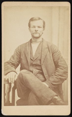
3 of 10 decades since 1900 have photos 🔁Retake an old viewHenry Sparks, head-and-shoulders …, 1883: stand where they stood+15 📦Share a family photoSign in to add one+10Abingdon, decade by decade
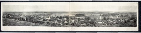
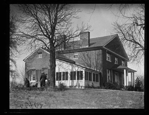
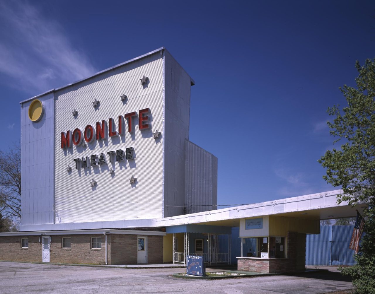
1970s
![Moonlite drive-In [Abingdon, Virginia]](https://images.towntapestry.org/story/18208/51b29c10f58bdb3f3f89-s.jpg)
1990s
7 historic places in Abingdon
Abingdon has 7 listings on the National Register, and they protect 157 historic buildings, because Abingdon Historic District (Boundary Increase) alone counts 138.
Where they are
When they were listed
Then & now
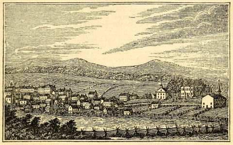
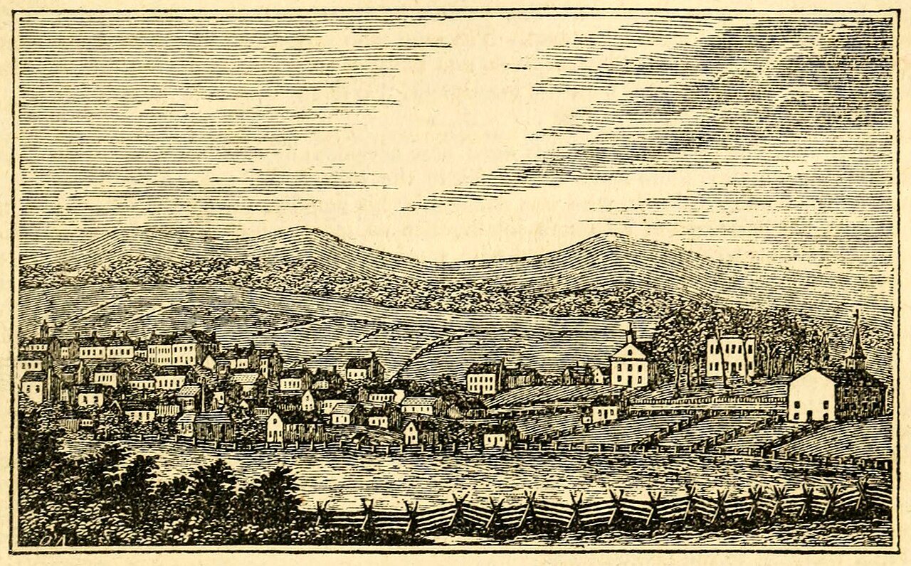
No then-and-now pairs yet. Take a photo from the same spot as Historical Collections of Virginia (1845) and it appears here side by side.
🔁 Retake this view · +15Stories next door
nearby towns’ historyFrom Wikimedia Commons (3) and the Library of Congress (3). Images are copied here with their credits and licenses, shown on each photo’s page. Refreshed monthly.