A history of Springdale,
then and now
Postcards, papers and photographs of Springdale from public archives, woven together by decade. Neighbors fill in the gaps.
The story
from WikipediaRead it all ↗The 1992 St. George earthquake destroyed three houses as well as above- and below-ground utilities, causing about US$1 million in damage. In the Balanced Rock Hills area of Springdale, a landslide covered part of Utah State Route 9, taking several hours to clear. The slide was approximately 1,600 feet (490 m) long and 3,600 feet (1,100 m) wide, contained boulders up to 20 feet (6.1 m) in diameter, with a total volume of 18,000,000 cubic yards (14,000,000 m3) and total area of 4,400,400 square feet (408,810 m2).
Text from Wikipedia, licensed CC BY-SA 4.0.
Timeline
built from the dates on the items belowFinish Springdale’s story
Most archives stop around 1920. The photos from after that are in family albums, not libraries.
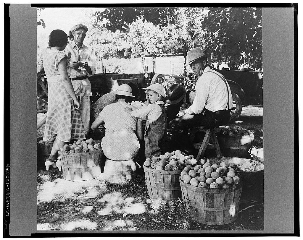
2 of 10 decades since 1900 have photos 🔁Retake an old viewUtah farm family in the orchard a…, 1938: stand where they stood+15 📦Share a family photoSign in to add one+10Springdale, decade by decade
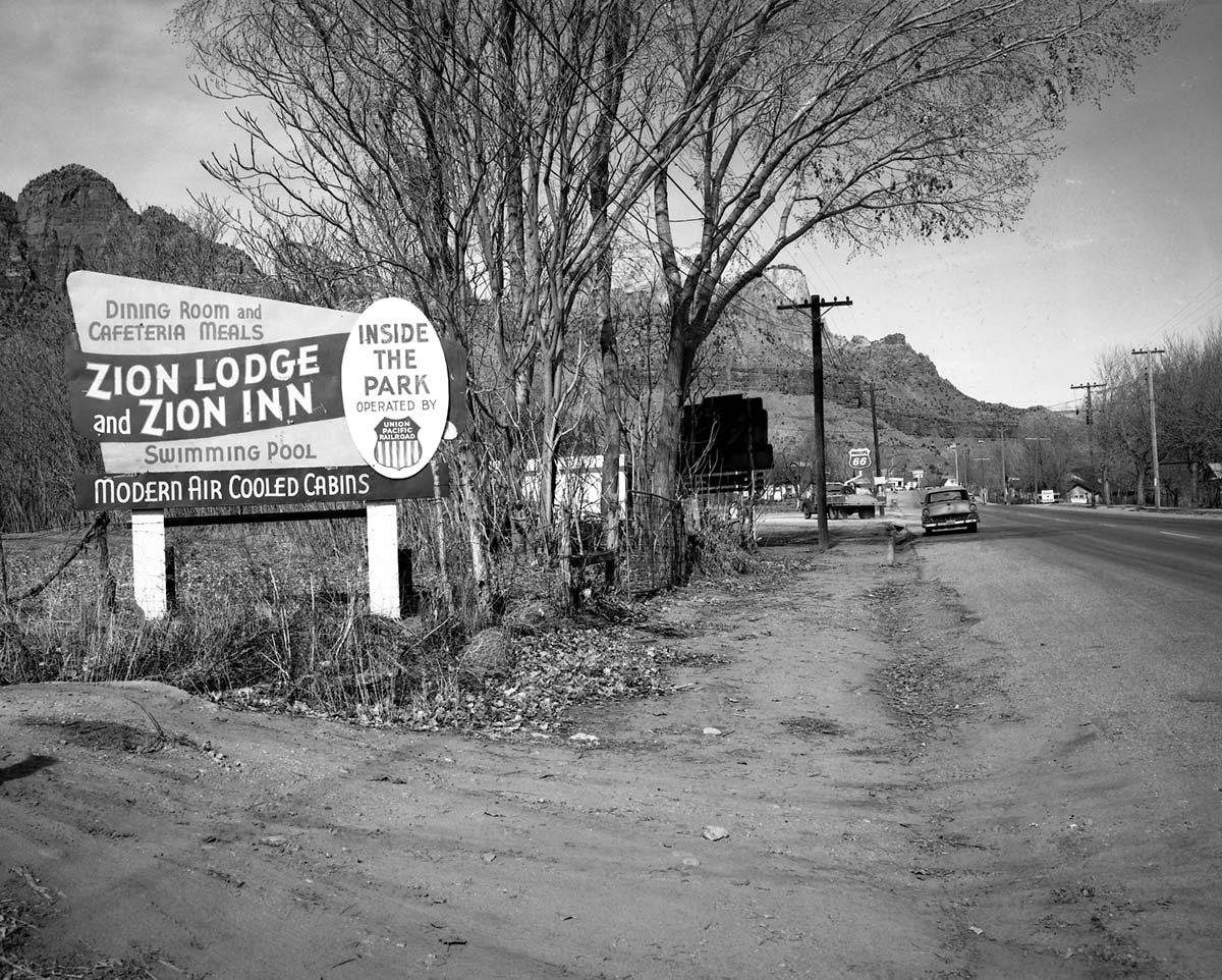
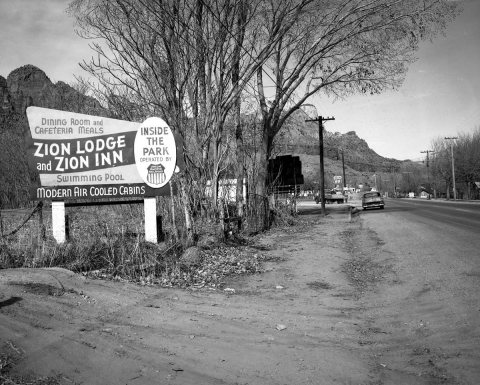 CommonsRoadside signs in Springdale, Utah Parks Company - Zion Lod…1963
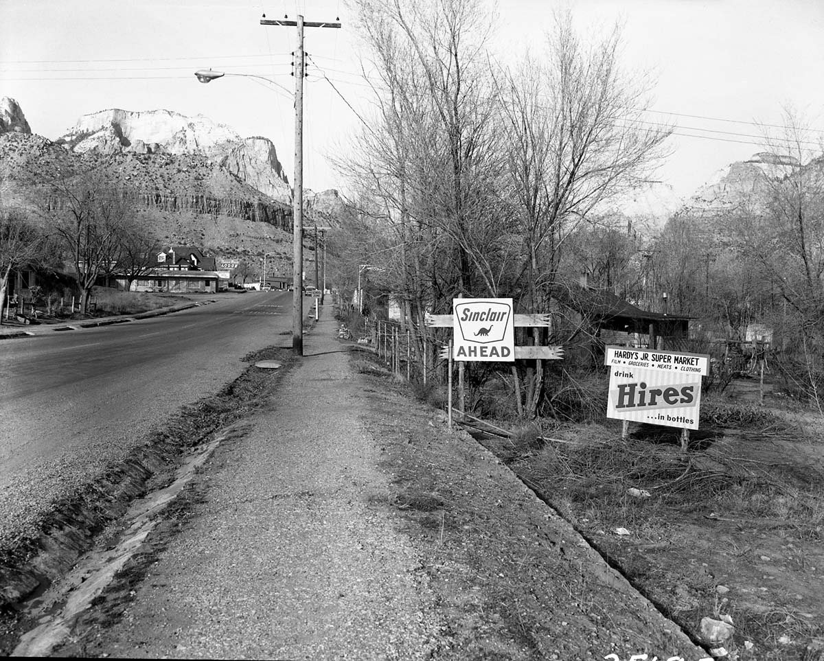
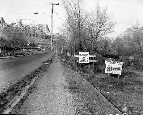 CommonsRoadside signs in Springdale, obsolete signs of Hardy Jr. S…1963
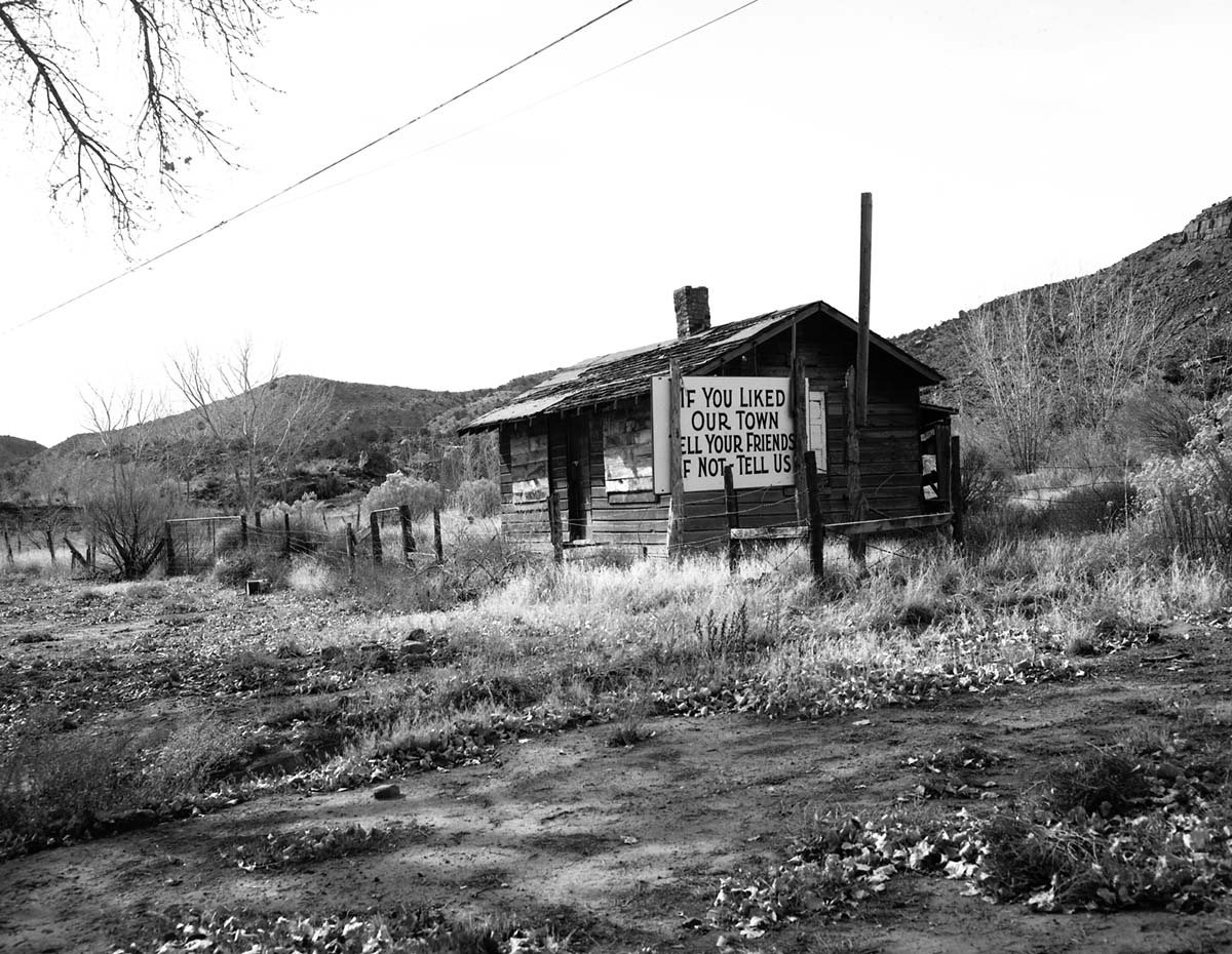
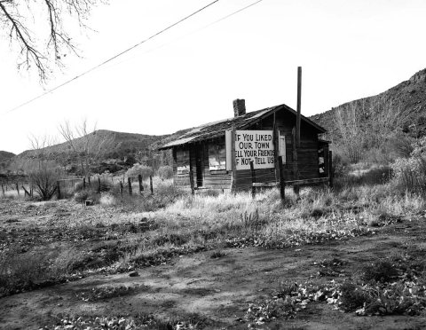 CommonsRoadside signs in Springdale, obsolete signs. Image is of a…1963
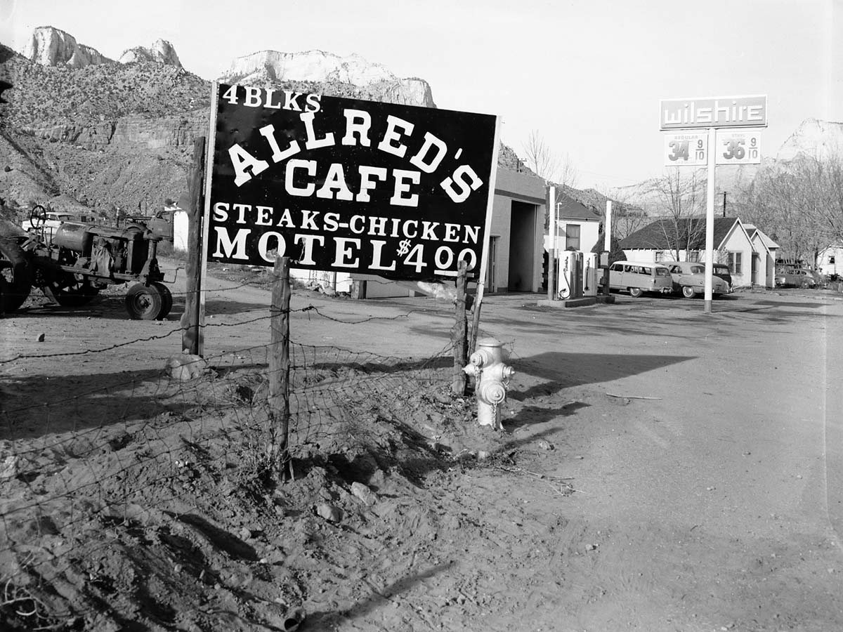
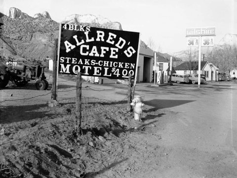 CommonsRoadside signs in Springdale. Allred's Cafe. Proposed clean…1963
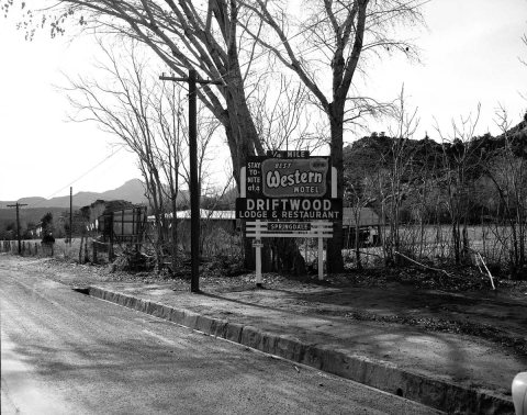 CommonsRoadside signs in Springdale. Driftwood Lodge and Restauran…1963
1990s
13 historic places in Springdale
13 places in Springdale are on the National Register of Historic Places, the country’s official list of buildings and places worth saving.
Where they are
When they were listed
Then & now
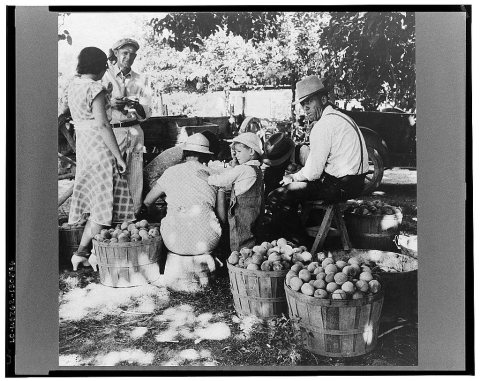
No then-and-now pairs yet. Take a photo from the same spot as Utah farm family in the orchard at peach harvest. Near Springdale, Utah (1938) and it appears here side by side.
🔁 Retake this view · +15Stories next door
nearby towns’ historyFrom Wikimedia Commons (5) and the Library of Congress (1). Images are copied here with their credits and licenses, shown on each photo’s page. Refreshed monthly.