A history of Spring,
since 1852
Postcards, papers and photographs of Spring from public archives, woven together by decade. Neighbors fill in the gaps.
The story
from WikipediaRead it all ↗Latter-day Saint settlers led by James Allred established a community along Canal Creek in March 1852. Initially called the Allred Settlement or Canal, it was abandoned during conflict between settlers and local Ute people in 1853. A second attempt to occupy the site later that year was also unsuccessful. William, George, and Joseph Black led a permanent resettlement in 1859, and the community became known as Springtown and later Spring City.
Text from Wikipedia, licensed CC BY-SA 4.0.
Timeline
built from the dates on the items belowFinish Spring’s story
Most archives stop around 1920. The photos from after that are in family albums, not libraries.
1 of 10 decades since 1900 have photos 🔁Retake an old viewHistoric American Buildings Surve…, 1933: stand where they stood+15 📦Share a family photoSign in to add one+10Famous people close to Spring
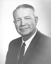
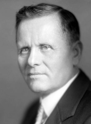
See all 33 →

Spring, decade by decade
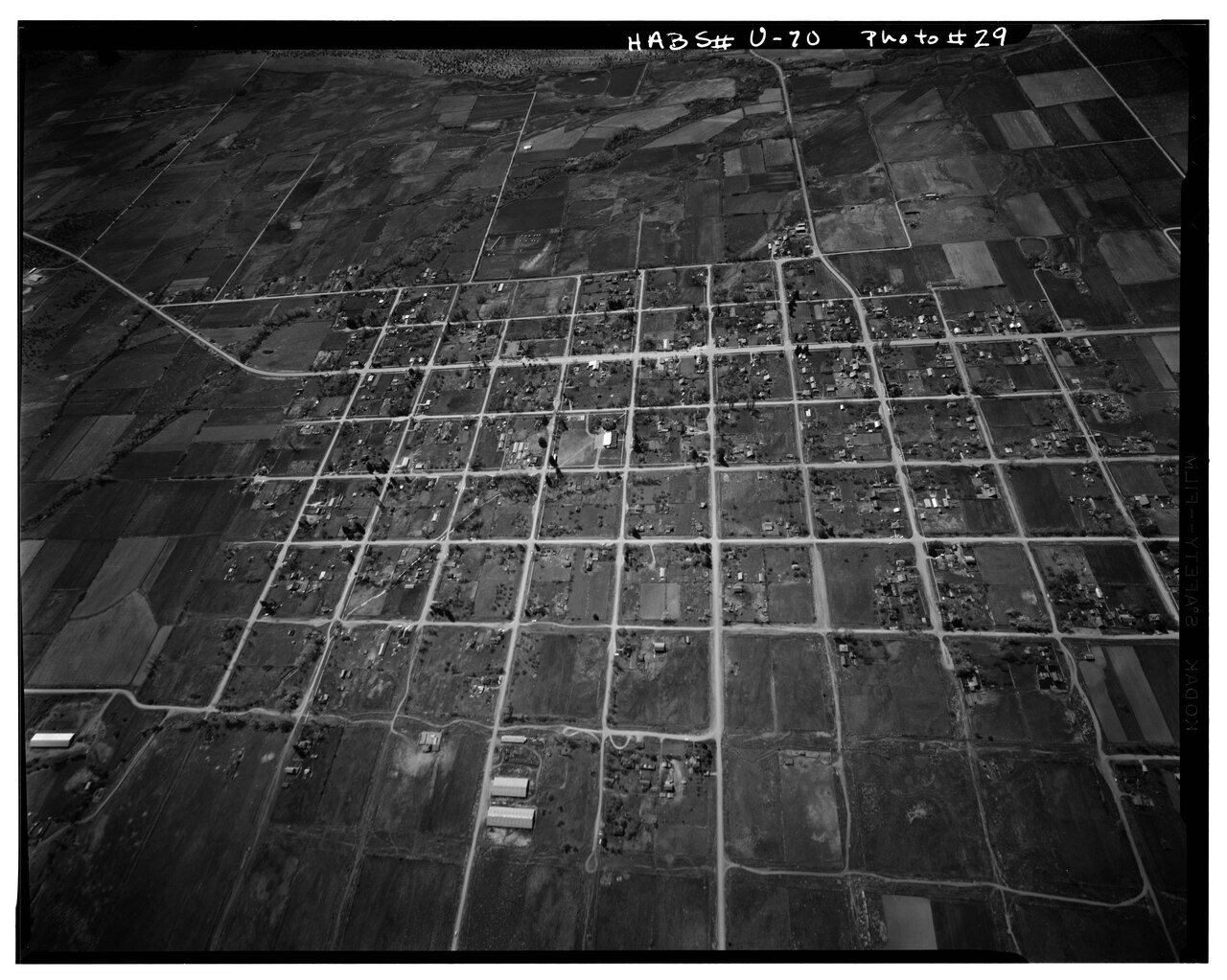
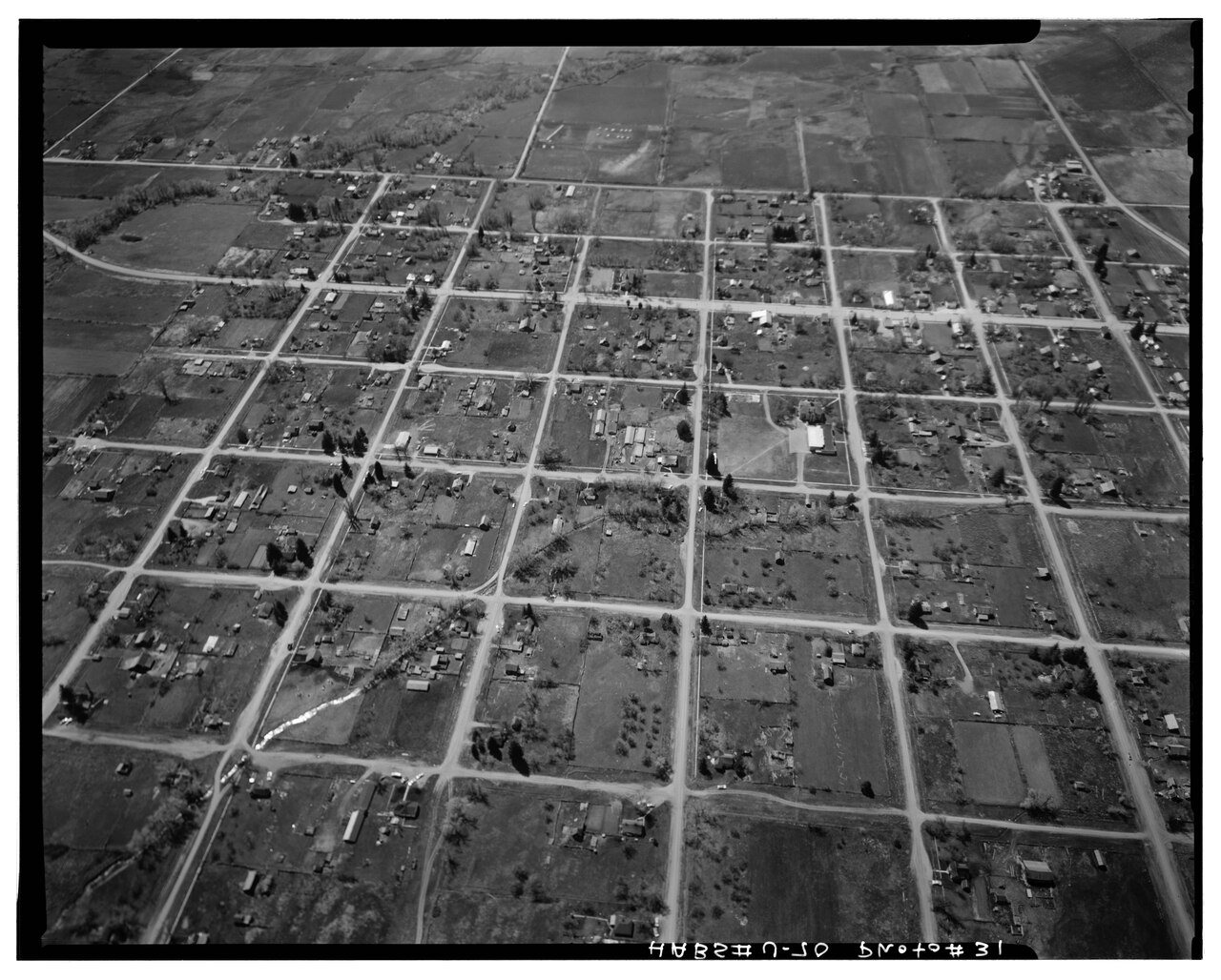
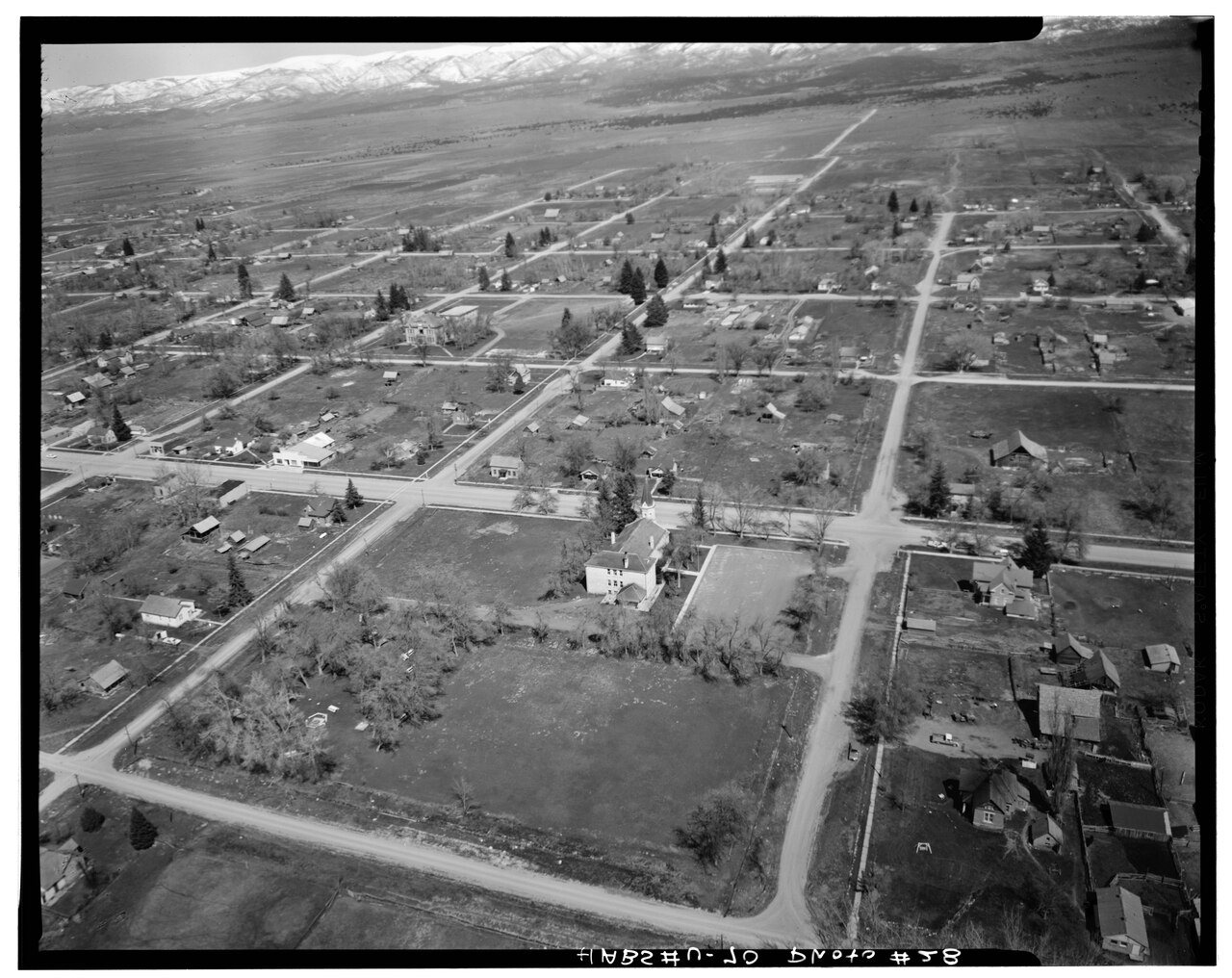
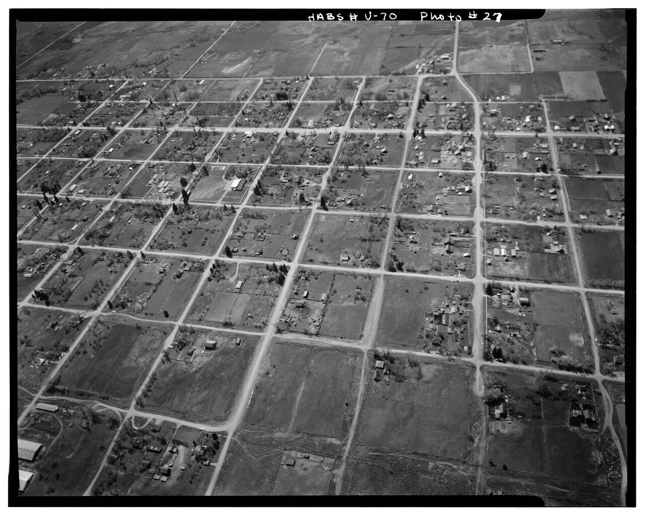
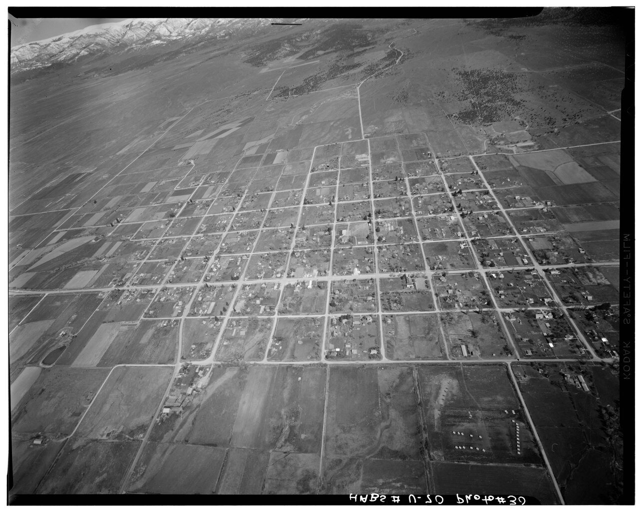
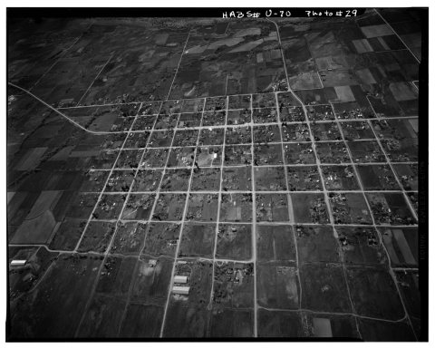 CommonsHistoric American Buildings Survey, P. Kent Fairbanks, Phot…1933
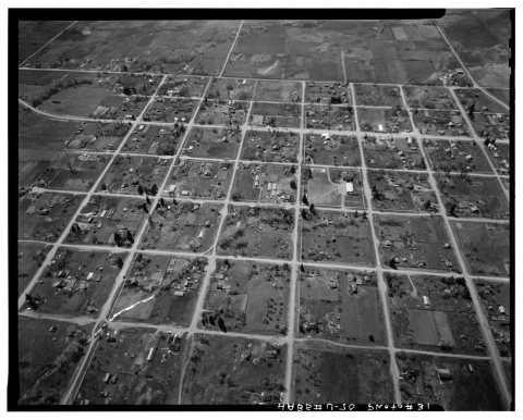 CommonsHistoric American Buildings Survey, P. Kent Fairbanks, Phot…1933
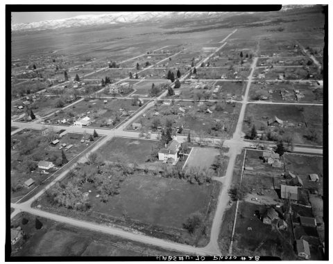 CommonsHistoric American Buildings Survey, P. Kent Fairbanks, Phot…1933
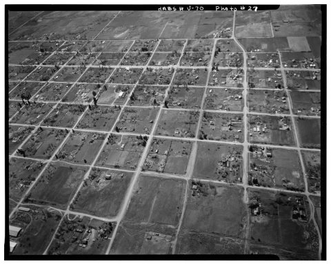 CommonsHistoric American Buildings Survey, P. Kent Fairbanks, Phot…1933
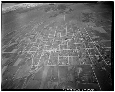 CommonsHistoric American Buildings Survey, P. Kent Fairbanks, Phot…1933
1990s
2 historic places in Spring
2 places in Spring are on the National Register of Historic Places, the country’s official list of buildings and places worth saving.
Where they are
When they were listed
Then & now
No then-and-now pairs yet. Take a photo from the same spot as Historic American Buildings Survey, P. Kent Fairbanks, Photographer Spring, 1968 AERIAL VIEW FROM EAST. - Spring City A… (1933) and it appears here side by side.
🔁 Retake this view · +15Stories next door
nearby towns’ historyFrom Wikimedia Commons (5) and the National Register (1). Images are copied here with their credits and licenses, shown on each photo’s page. Refreshed monthly.