Orem’s story is
mostly unwritten
The public archives hold only 3 old photos of Orem. The rest are in attics, shoeboxes and the historical society. Help start the collection.
The story
from WikipediaRead it all ↗At one time the area was known as Sharon, a Biblical name for a mostly level strip of land running between mountains and the sea, and the name of the Vermont birth town of Joseph Smith, founder of the Latter Day Saint movement. Another former name was Provo Bench, as it was a geographical bench north of Provo.
Unlike many other early Utah communities, Orem's houses were not originally clustered in a town composed of regular city blocks. Instead, Orem's farmers dispersed their homes, building them along the territorial highway (now called State Street) and other major roads so that they could be close to both transportation corridors and to their fields and orchards.
Text from Wikipedia, licensed CC BY-SA 4.0.
Start Orem’s collection
The first neighbors to add old photos shape how Orem’s history is told.
0 of 10 decades since 1900 have photos 🗓️Date a photo3 archive items have no date+2 🔁Retake an old viewDenver & Rio Grande Western Railr…: stand where they stood+15 📦Share a family photoSign in to add one+10Orem, decade by decade
2000
unknown3 items
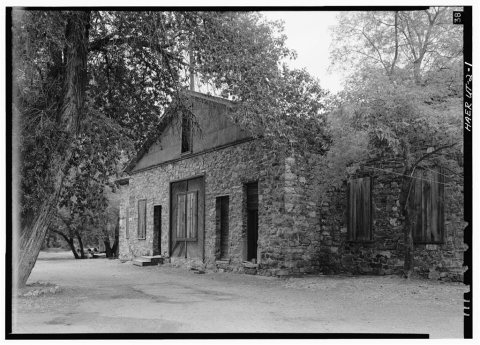
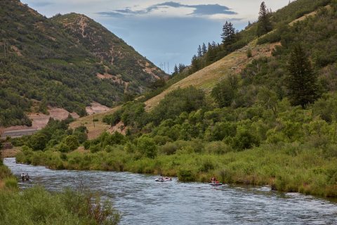 LOCBoth fishermen (left) and rafters enjoy the wonders of the …2022
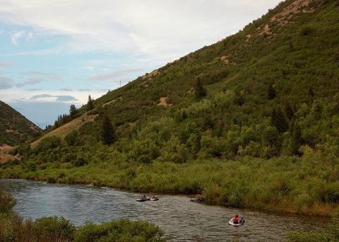 LOCRafters enjoy a ride down the Provo River in Provo Canyon, …2022
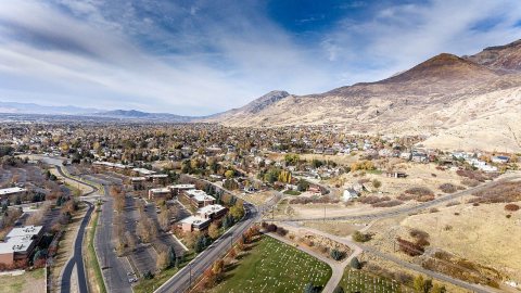 CommonsLooking North West2016
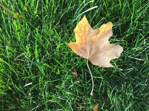 CommonsLeaf on Grass2016
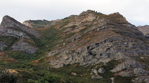 CommonsHike on mountain2016
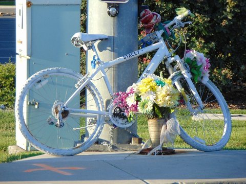 CommonsGhost bicycle in southeast Orem, Utah, Aug 162016
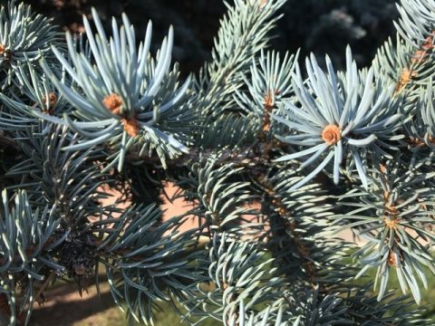 CommonsEnd of Pine Branch2016
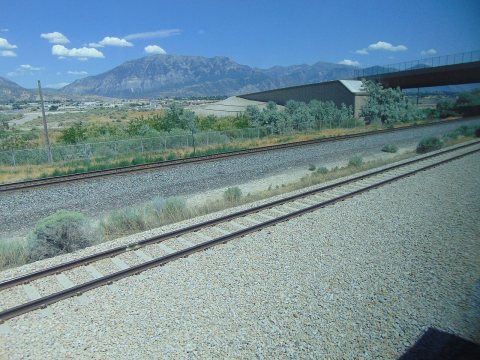 CommonsEast at Cascade Mountain on FrontRunner, Jul 162016
 CommonsDog in disguise (Unsplash)2016
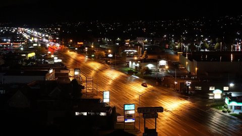 CommonsCity Lights of2016
 CommonsChalk Art ART34002016
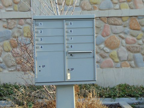 DocumentBusiness letter boxes in Orem, Utah, Mar 162016
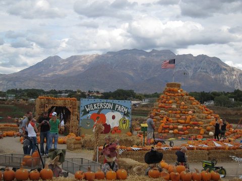 CommonsWilkerson Farm in2015
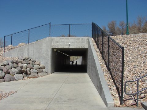 CommonsNorth under University Pkwy, Mar 152015
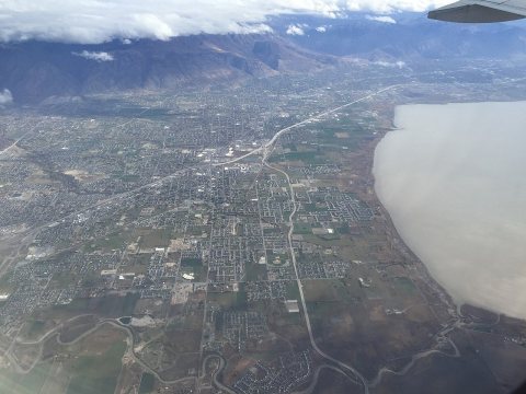 Commons2015-11-03 10 16 13 View from an airplane of the cities of …2015
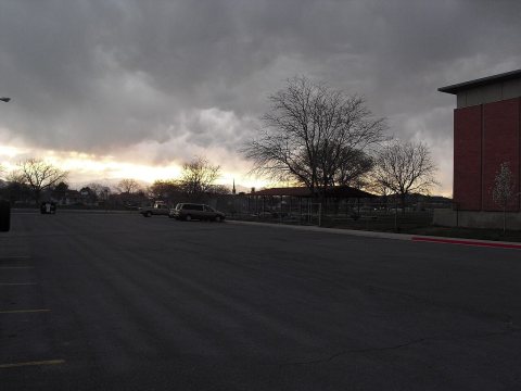 CommonsThe park before the storm2010
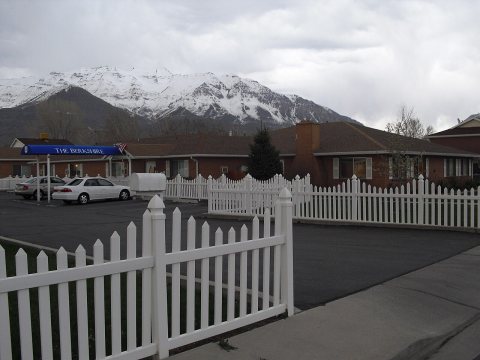 CommonsThe Berkshire2010
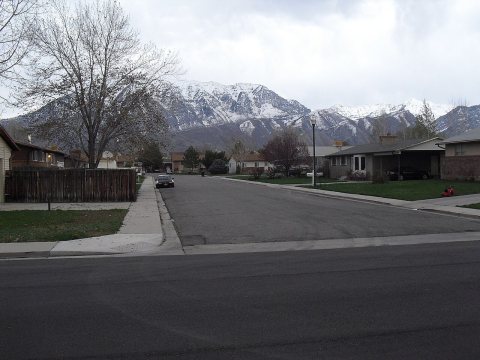 CommonsSquaw mountain as seen from Central2010
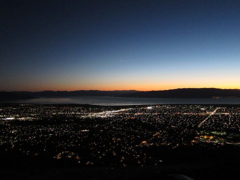 CommonsNight skyscape in2010
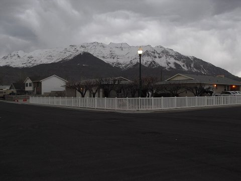 CommonsMount Timpanogos as seen from central2010
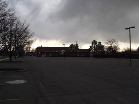 CommonsMormon Church parking lot2010
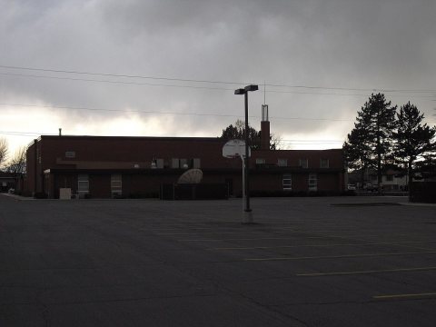 CommonsMormon Church basketball hoop2010
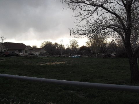 CommonsInteresting field2010
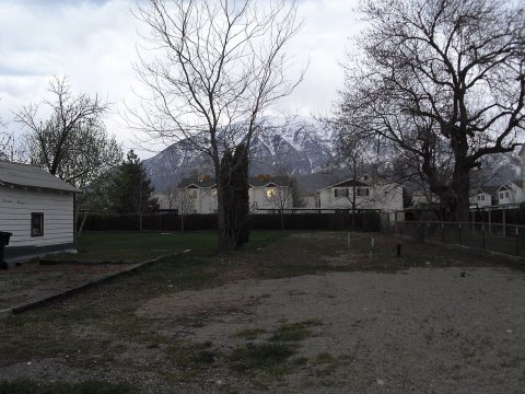 CommonsCool tree2010
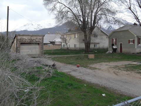 CommonsCool shed2010
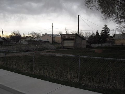 CommonsCool old shed2010
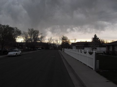 CommonsCloudy day in2010
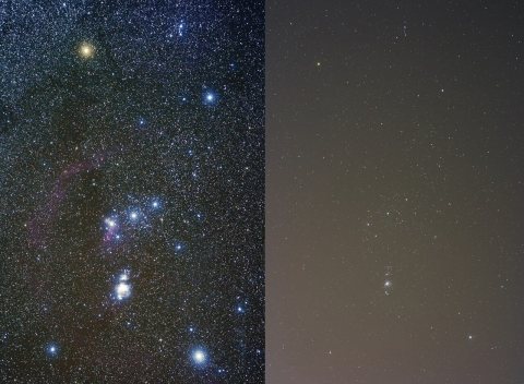 CommonsLight pollution It's not pretty2009
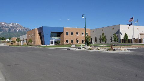 CommonsOrem Public Works2008
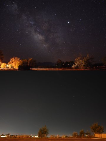 CommonsLight pollution country versus city2007
 CommonsContinental Rust - Flickr - wickenden2006
 CommonsOld Timer - Flickr - a4gpa2005
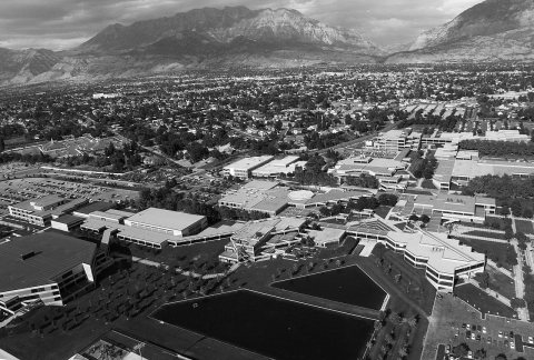 Commons10 newest (2489562465) (2)2005
Then & now
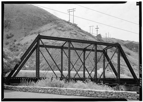
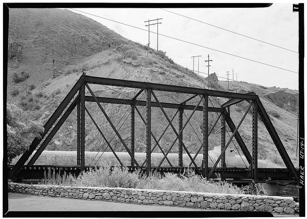
No then-and-now pairs yet. Take a photo from the same spot as Denver & Rio Grande Western Railroad, Provo River Bridge, Spanning Provo River and it appears here side by side.
🔁 Retake this view · +15Stories next door
nearby towns’ historyFrom Wikimedia Commons (31) and the Library of Congress (5). Images are copied here with their credits and licenses, shown on each photo’s page. Refreshed monthly.