The story
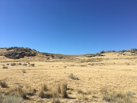
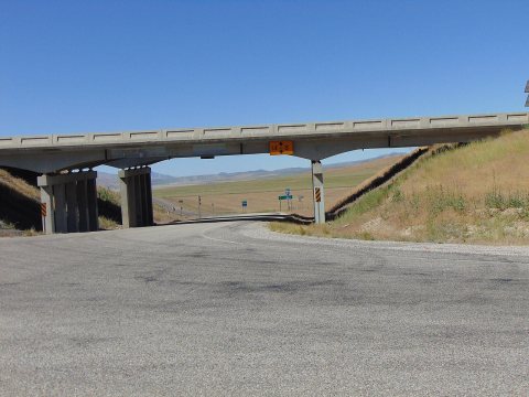
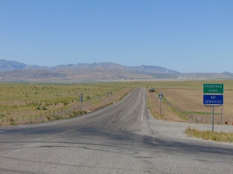
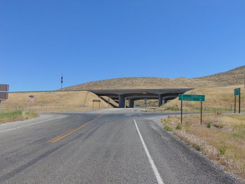
from WikipediaRead it all ↗Howell lies in the Blue Creek Valley that stretches north-south between four mountain ranges, Promontory Mountains, south, North Promontory Mountains, west, West Hills, northeast, and Blue Spring Hills, southeast. The northeast Great Salt Lake lies to the south of Howell, and north of Howell finds Interstate 84, roughly the area known to locals as Blue Creek. Nomadic Shoshone Indians used the area to travel between the Great Salt Lake and areas to the north.
Text from Wikipedia, licensed CC BY-SA 4.0.
Start Howell’s collection
The first neighbors to add old photos shape how Howell’s history is told.
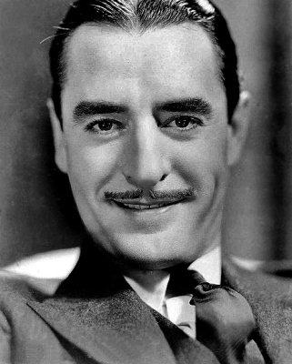
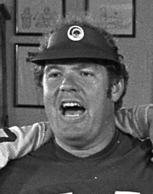
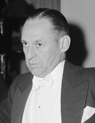
0 of 10 decades since 1900 have photos 📦Share a family photoSign in to add one+10Famous people close to Howell
See all 25 →


Howell, decade by decade
2000
Nothing in Howell is on the National Register yet
That’s true of most small towns. It doesn’t mean Howell has no history, only that no one has written up a nomination. The closest listed place is Golden Spike National Historic Site in Thatcher, 10.4 miles away.
Howell and the nearest listed places
Closest to Howell
 Transcontinental Railroad GradeThatcher · Structure12.3mi
 Garland Carnegie LibraryGarland · Built 191414.9miBear River High School Science BuildingGarland · Built 193515.2mi
 Holmgren FarmsteadTremonton · Improvement Era Dairy Barn and Outbuildings15.5mi
How a place gets listed
Then & now
When neighbors add old photos, retakes from the same spot appear here side by side.
Stories next door
nearby towns’ historyFrom Wikimedia Commons (6). Images are copied here with their credits and licenses, shown on each photo’s page. Refreshed monthly.