The story
from WikipediaRead it all ↗The area of Grantsville was originally populated by the Goshute tribe.
Grantsville was originally called "Willow Creek", and has also been called "Twenty Wells" due to the natural wells that give fresh water to the area. Grantsville was settled by Mormon pioneers in 1850, with the arrival of the brothers-in-law James McBride and Harrison Severe, with their wives and families. The present name, after Col. George D. Grant, a leader in the Church of Jesus Christ of Latter-day Saints, was adopted c. 1853. A post office called Grantsville has been in operation since 1864.
Text from Wikipedia, licensed CC BY-SA 4.0.
Start Grantsville’s collection
The first neighbors to add old photos shape how Grantsville’s history is told.
0 of 10 decades since 1900 have photos 📦Share a family photoSign in to add one+10Famous people from Grantsville
See all 3 →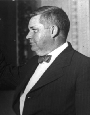
Grantsville, decade by decade
2000
Then & now
When neighbors add old photos, retakes from the same spot appear here side by side.
Historic places
National Register · via Wikidata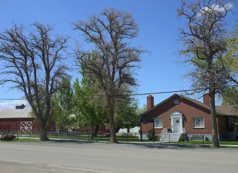
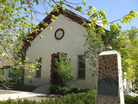
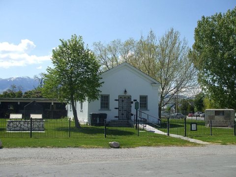
From the National Register (4). Images are copied here with their credits and licenses, shown on each photo’s page. Refreshed monthly.