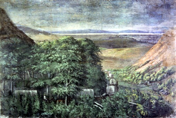
Emigration Canyon’s history is
mostly unwritten
The public archives hold only 2 old photos of Emigration Canyon. The rest are in attics, shoeboxes and the historical society. Help start the collection.
The story
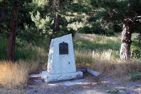
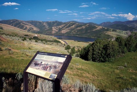
from WikipediaRead it all ↗Emigration Canyon was significant in early Utah history as the original route used by pioneers entering the area. It was part of the Hastings Cutoff route used by the Donner Party in 1846 (not affiliated with the Mormon pioneers) and where the Mormon pioneers entered the Salt Lake Valley in 1847. As Brigham Young looked over the canyon, he declared, "This is the right place. Drive on." These words have become famous in Utah history. The event is commemorated with This Is The Place Heritage Park at the mouth of the canyon. Throughout Emigration Canyon, there are several historic markers designating camps, trail markers, and milestones where the Mormon pioneers passed while on their way to the Salt Lake Valley. One example of these milestones is called Lost Creek Camp.
Text from Wikipedia, licensed CC BY-SA 4.0.
Timeline
built from the dates on the items belowStart Emigration Canyon’s collection
The first neighbors to add old photos shape how Emigration Canyon’s history is told.
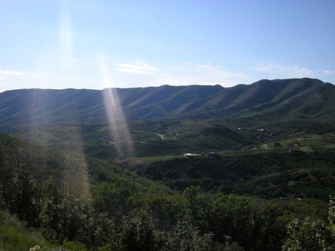
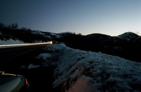
1 of 10 decades since 1900 have photos 🔁Retake an old viewEntering the Great Salt Lake Vall…, 1850: stand where they stood+15 📦Share a family photoSign in to add one+10Emigration Canyon, decade by decade
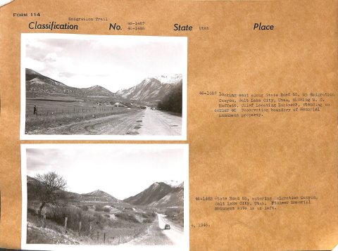
1990s
Nothing in Emigration Canyon is on the National Register yet
That’s true of most small towns. It doesn’t mean Emigration Canyon has no history, only that no one has written up a nomination. The closest listed place is Mountain Dell Dam in Emigration Canyon, 2.8 miles away.
Emigration Canyon and the nearest listed places


How a place gets listed
Then & now
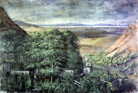
No then-and-now pairs yet. Take a photo from the same spot as Entering the Great Salt Lake Valley by C.C.A. Christensen (1850) and it appears here side by side.
🔁 Retake this view · +15Stories next door
nearby towns’ historyFrom Wikimedia Commons (6). Images are copied here with their credits and licenses, shown on each photo’s page. Refreshed monthly.