Towns with the most conserved land in Texas
Ranked by the share of the town's area that is permanently protected: town forests, state and federal land, land-trust preserves and conservation easements (USGS PAD-US). 18 towns with 2,500+ residents.
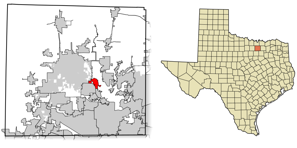 1
Shady Shores
18.8%
Conserved acres 389
1
Shady Shores
18.8%
Conserved acres 389
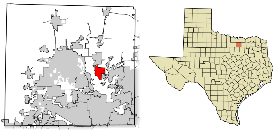 2
Oak Point
14.1%
Conserved acres 551
2
Oak Point
14.1%
Conserved acres 551
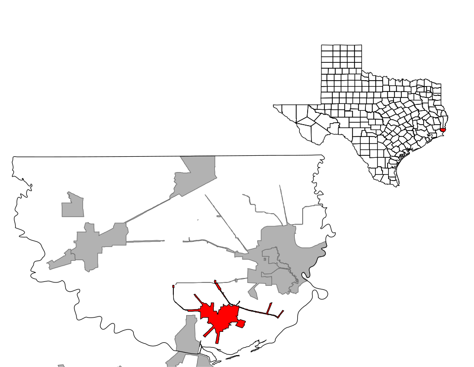 3
Bridge City
7.3%
Conserved acres 323
3
Bridge City
7.3%
Conserved acres 323
How this ranking works
We rank every town by the share of the town's area that is permanently protected: town forests, state and federal land, land-trust preserves and conservation easements (USGS PAD-US). Easements protect land from development but are often private, so not all of it is open to visitors. The town with the highest figure ranks #1.
Only towns with at least 2,500 residents are ranked; Census estimates for smaller places are too uncertain. Population and income: U.S. Census Bureau American Community Survey 5-year estimates. Trails, streets and parks: © OpenStreetMap contributors (ODbL). Conserved land: USGS PAD-US. Measured within each town's Census boundary. Town photos: Wikimedia Commons, credited on each town’s page.