The story
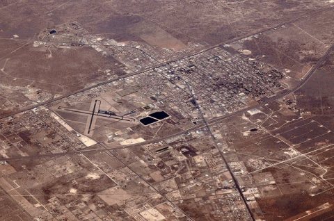
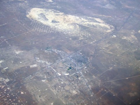
from WikipediaRead it all ↗The Permian Basin, home to Monahans and Midland-Odessa combined statistical area, is 250 miles (400 km) wide and 300 miles (480 km) long; Monahans is "The Center of the Permian Basin". The basin was formed during the Permian period, the final portion of the Paleozoic era. At the time, it was an ocean filled with abundant aquatic life.
In 1583, Spanish explorer Antonio de Espejo crossed this area on his way through present-day New Mexico. The Indians in the Monahans region were called vaqueros by these Spanish explorers because they hunted the "hump-backed cattle" or bison. Records of Spanish exploring the Los Medanos (the sand dunes) outside Monahans can be traced to the early 1770s.
Text from Wikipedia, licensed CC BY-SA 4.0.
Start Monahans’s collection
The first neighbors to add old photos shape how Monahans’s history is told.
0 of 10 decades since 1900 have photos 📦Share a family photoSign in to add one+10Famous people from Monahans
See all 12 →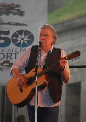
Monahans, decade by decade
2000
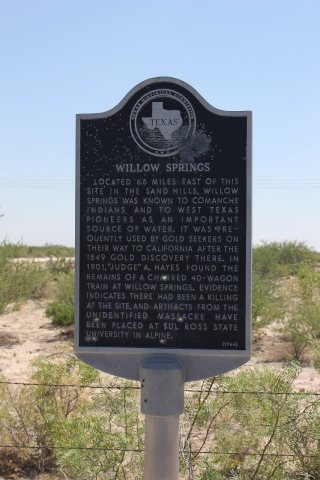
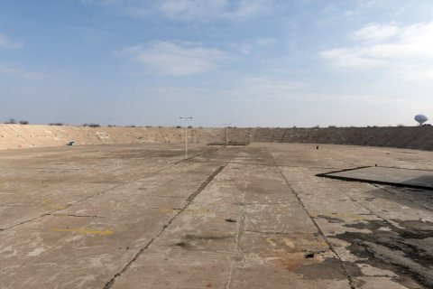
Nothing in Monahans is on the National Register yet
That’s true of most small towns. It doesn’t mean Monahans has no history, only that no one has written up a nomination. The closest listed place is Rig Theater in Wink, 6.8 miles away.
Monahans and the nearest listed places
Closest to Monahans

How a place gets listed
Then & now
When neighbors add old photos, retakes from the same spot appear here side by side.
Stories next door
nearby towns’ historyFrom Wikimedia Commons (6). Images are copied here with their credits and licenses, shown on each photo’s page. Refreshed monthly.