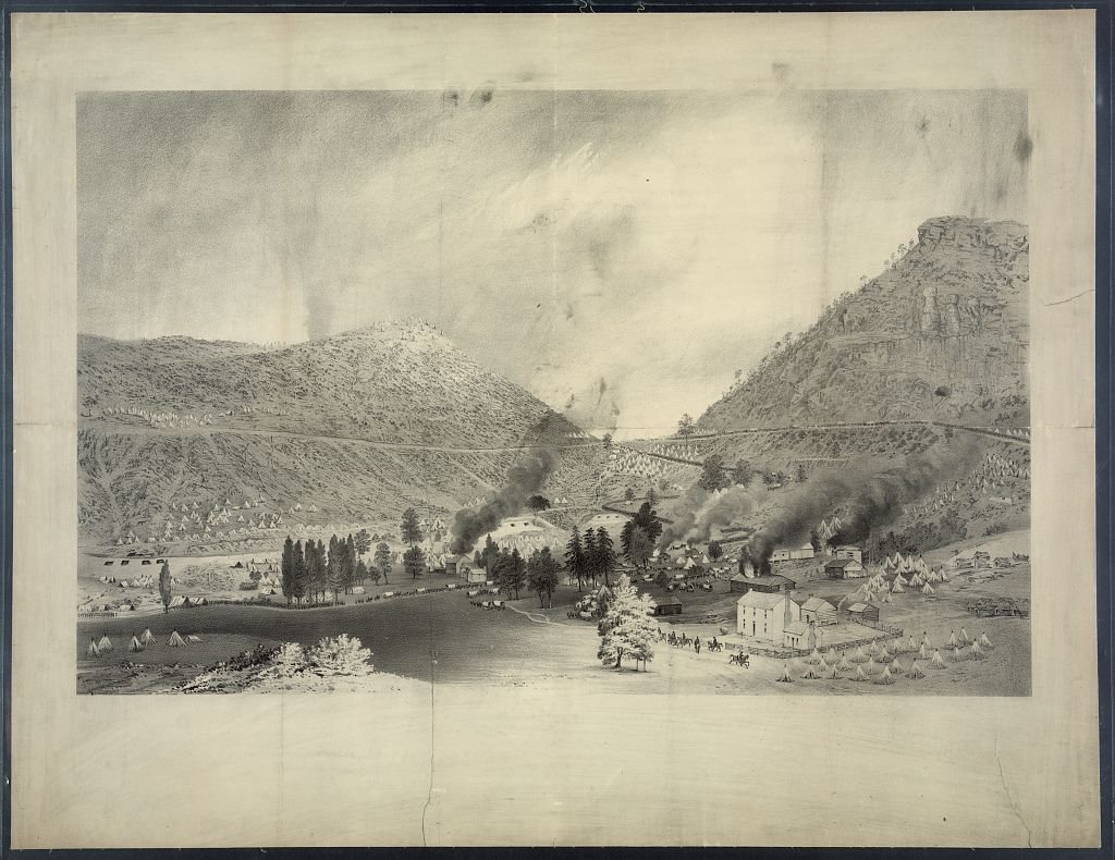
Cumberland Gap’s history is
mostly unwritten
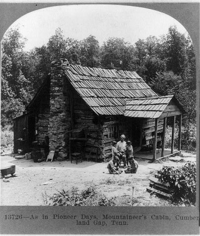
The public archives hold only 3 old photos of Cumberland Gap. The rest are in attics, shoeboxes and the historical society. Help start the collection.
The story
from WikipediaRead it all ↗The Cherokee and Shawnee Native American tribes traveled through a game trail known to the Shawnee as Athiamiowee. The tribes often fought each other and white settlers called the trail The Warriors' Path. The area that came to be known as the Cumberland Gap was a gateway on the trail through the mountains. Although many settlers had traveled through the pass and their reports had traveled back east, Thomas Walker is credited as the settler who discovered the pass. Walker was hired by the Loyal Land Company to search for a suitable site for a settlement on the western side of the mountains. It became a postal town in 1803, and was officially incorporated as a city in 1907.
Text from Wikipedia, licensed CC BY-SA 4.0.
Timeline
built from the dates on the items belowStart Cumberland Gap’s collection
The first neighbors to add old photos shape how Cumberland Gap’s history is told.
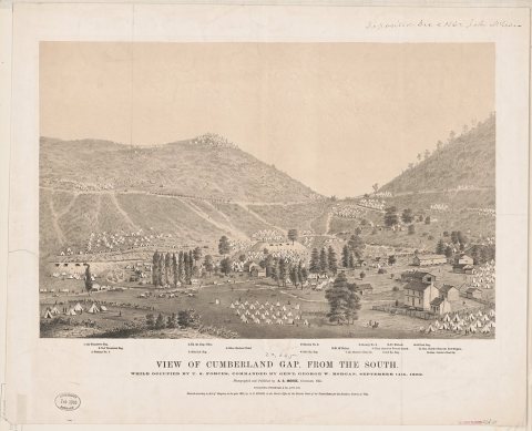
1 of 10 decades since 1900 have photos 🔁Retake an old viewView of Cumberland Gap, from the …, 1862: stand where they stood+15 📦Share a family photoSign in to add one+10Famous people from Cumberland Gap
See all 3 →
Cumberland Gap, decade by decade
1990s
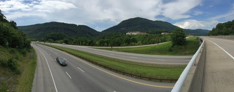 Commons2017-06-12 15 41 00 Panorama of Cumberland Gap on the borde…2017
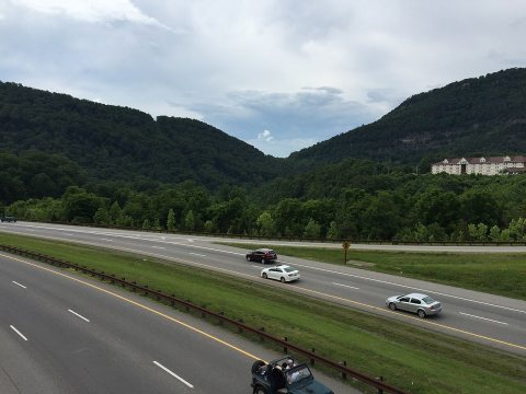 Commons2017-06-12 15 40 51 View of Cumberland Gap on the border of…2017
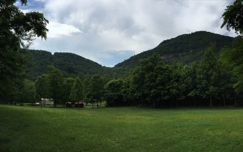 Commons2017-06-12 15 38 05 View of Cumberland Gap on the border of…2017
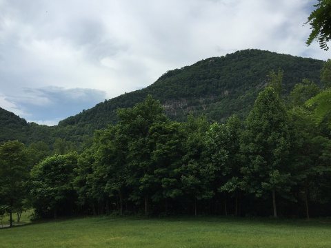 Commons2017-06-12 15 37 57 View of the northeast side of Cumberlan…2017
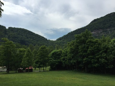 Commons2017-06-12 15 37 51 View of Cumberland Gap on the border of…2017
 CommonsFirst Congress Bicycle Museum2011
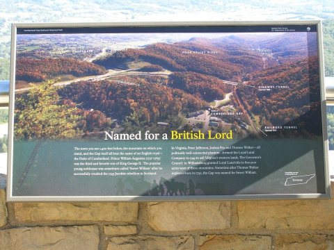 CommonsPinacles P9040353 sign2010
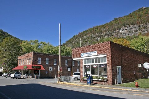 CommonsEast Tennessee Crossing - Town of2008
 CommonsCumberland Gap National Historical Park visitors center2008
1 historic place in Cumberland Gap
Cumberland Gap has 1 listing on the National Register, and they protect 34 historic buildings, because Cumberland Gap Historic District alone counts 34.
Where they are
When they were listed
Then & now
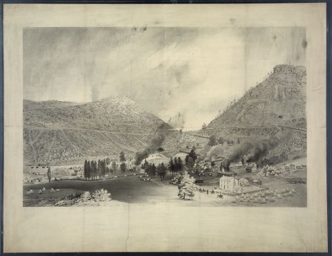
No then-and-now pairs yet. Take a photo from the same spot as View of Cumberland Gap, from the south (1862) and it appears here side by side.
🔁 Retake this view · +15Stories next door
nearby towns’ historyFrom Wikimedia Commons (9) and the Library of Congress (3). Images are copied here with their credits and licenses, shown on each photo’s page. Refreshed monthly.