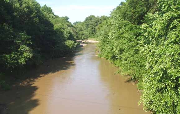
Arlington’s history is
mostly unwritten
The public archives hold just one old photo of Arlington. The rest are in attics, shoeboxes and the historical society. Help start the collection.
The story
from WikipediaRead it all ↗The area now known as Arlington, Tennessee, was originally inhabited by the Chickasaw Nation. Following the Treaty of Tuscaloosa, this territory, along with other parts of West Tennessee, was ceded to the United States. On November 24, 1819, Shelby County was established, named in honor of Isaac Shelby, a commissioner involved in the treaty negotiations, a veteran of the American Revolutionary War, and the first governor of Kentucky. By the 1830s, the nascent community comprised fewer than 20 settlers.
Text from Wikipedia, licensed CC BY-SA 4.0.
Start Arlington’s collection
The first neighbors to add old photos shape how Arlington’s history is told.
0 of 10 decades since 1900 have photos 🗓️Date a photo1 archive item has no date+2 🔁Retake an old viewLoosahatchie River: stand where they stood+15 📦Share a family photoSign in to add one+10Famous people from Arlington
See all 4 →

Arlington, decade by decade
2000
unknown1 item

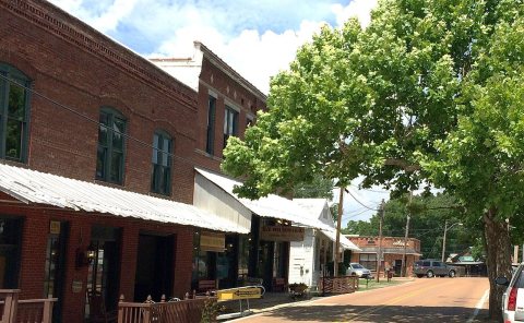
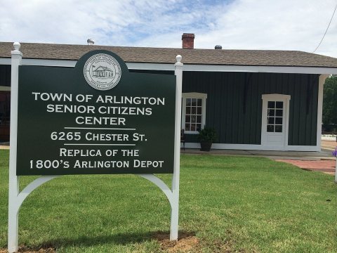
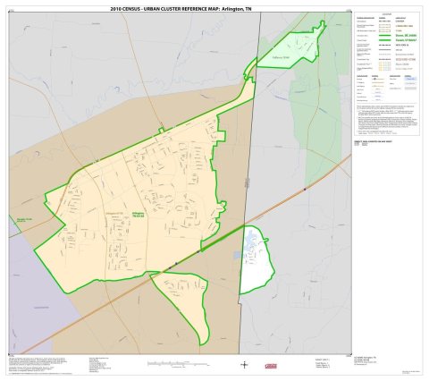
Then & now
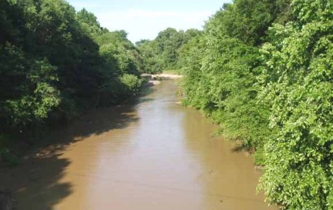
No then-and-now pairs yet. Take a photo from the same spot as Loosahatchie River and it appears here side by side.
🔁 Retake this view · +15Stories next door
nearby towns’ historyFrom Wikimedia Commons (5). Images are copied here with their credits and licenses, shown on each photo’s page. Refreshed monthly.