Sumter,
then and now
Postcards, papers and photographs of Sumter from public archives, woven together by decade. Neighbors fill in the gaps.
The story
from WikipediaRead it all ↗Incorporated as Sumterville in 1845, the city's name was shortened to Sumter in 1855. It has grown and prospered from its early beginnings as a plantation settlement. The city and county of Sumter bear the name of General Thomas Sumter, the "Fighting Gamecock" of the American Revolutionary War.
During the Civil War, the town was an important supply and railroad repair center for the Confederacy. After the war, Sumter grew and prospered, using its large railroad network to supply cotton, timber, and by the start of the 20th century, tobacco to the region.
Text from Wikipedia, licensed CC BY-SA 4.0.
Timeline
built from the dates on the items belowFinish Sumter’s story
Most archives stop around 1920. The photos from after that are in family albums, not libraries.
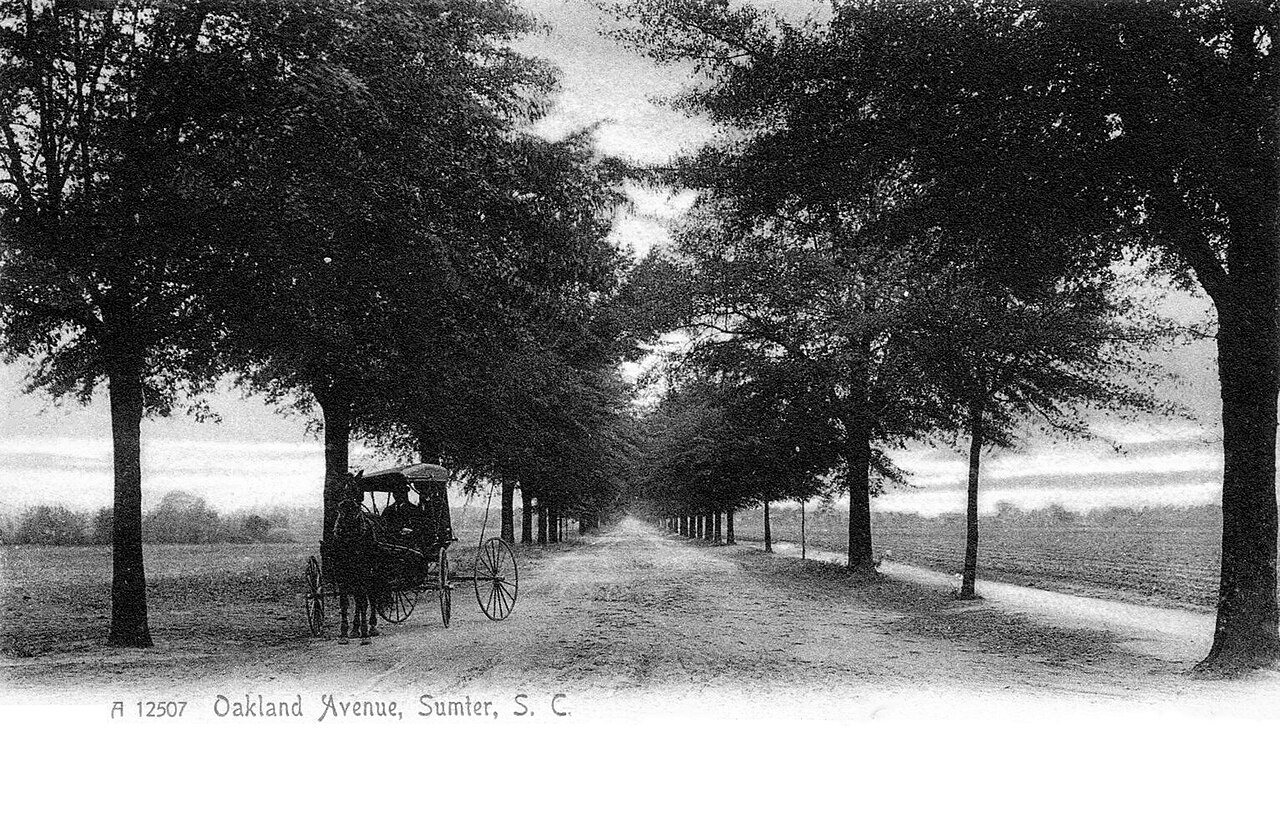
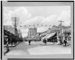
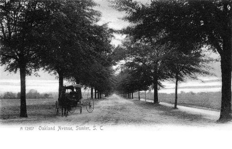
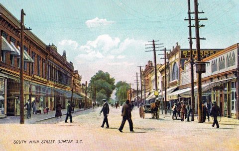
1 of 10 decades since 1900 have photos 🔁Retake an old viewSumter - Oakland Avenue (1905), 1905: stand where they stood+15 📦Share a family photoSign in to add one+10Sumter, decade by decade
1990s
Then & now
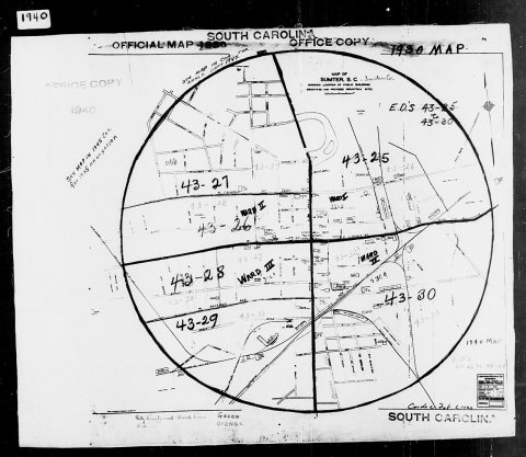
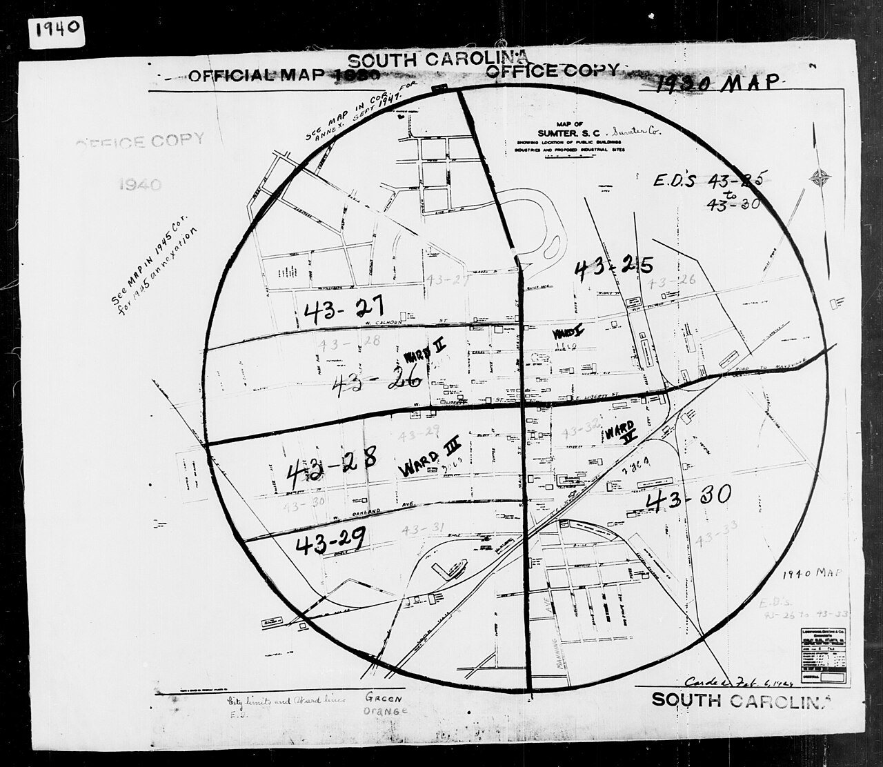
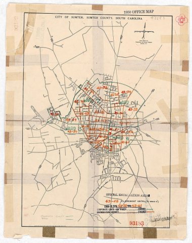
No then-and-now pairs yet. Take a photo from the same spot as 1940 Census Enumeration District Maps - South Carolina - Sumter County - Sumter - ED 43-26, ED 43-27, ED 43-28, ED 43-2… (1880) and it appears here side by side.
🔁 Retake this view · +15Stories next door
nearby towns’ historyFrom Wikimedia Commons (4) and the Library of Congress (2). Images are copied here with their credits and licenses, shown on each photo’s page. Refreshed monthly.