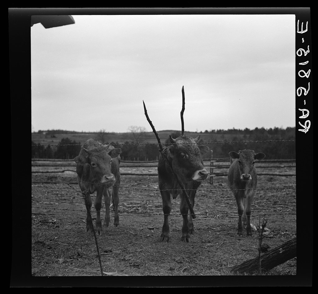
A history of Pendleton,
then and now
Postcards, papers and photographs of Pendleton from public archives, woven together by decade. Neighbors fill in the gaps.
The story
from WikipediaRead it all ↗For centuries, the land that is now Pendleton was the territory of the Cherokee nation. After England claimed South Carolina as a colony, the Cherokee traded with the British. After the Cherokee lost the war of 1759–60 against the British, the British dominated trade in the region and began to settle more of the land with large farms. Andrew Pickens, who was a general in the Revolutionary War moved to the area and commissioned the District of Pendleton in 1790. During the first half of the 1800s, wealthy families built homes in Pendleton. These homes were built as a summer vacation spot for the low-country plantation owners. Charles Cotesworth Pinckney (1789–1865) built Woodburn Plantation in 1830. Later, the Adger family, a wealthy family from Charleston, expanded the plantation to over 1,000 acres (400 ha) and enlarged the house to over 18 rooms.
Text from Wikipedia, licensed CC BY-SA 4.0.
Timeline
built from the dates on the items belowFinish Pendleton’s story
Most archives stop around 1920. The photos from after that are in family albums, not libraries.
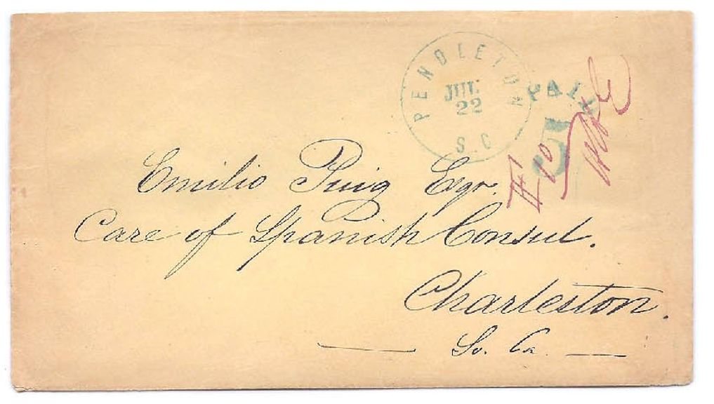
2 of 10 decades since 1900 have photos 🔁Retake an old viewPuiz1861, 1861: stand where they stood+15 📦Share a family photoSign in to add one+10Famous people from Pendleton
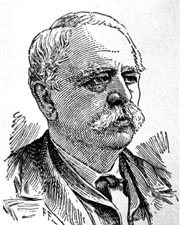
See all 13 →


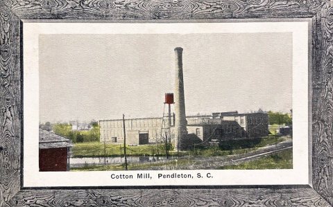
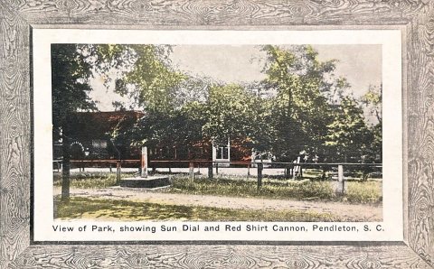
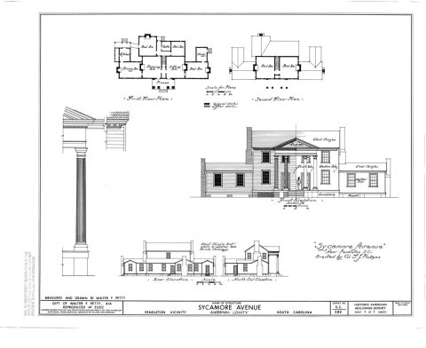
Pendleton, decade by decade
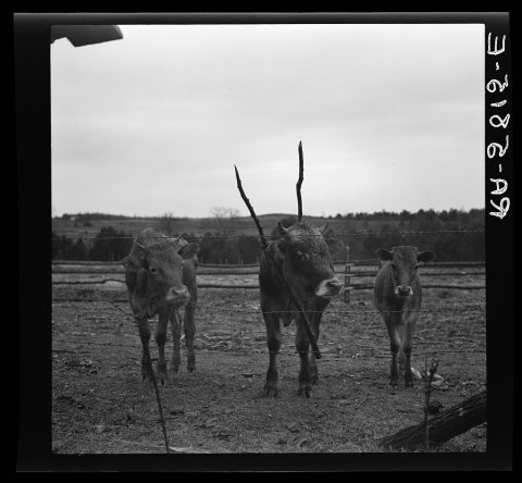
1990s
Then & now
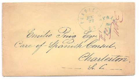
No then-and-now pairs yet. Take a photo from the same spot as Puiz1861 (1861) and it appears here side by side.
🔁 Retake this view · +15Historic places
National Register · via Wikidata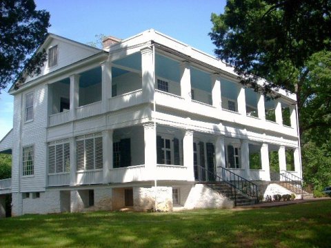
From Wikimedia Commons (4), the Library of Congress (1) and the National Register (1). Images are copied here with their credits and licenses, shown on each photo’s page. Refreshed monthly.