A history of Lexington,
since 1820
Postcards, papers and photographs of Lexington from public archives, woven together by decade. Neighbors fill in the gaps.
The story
from WikipediaRead it all ↗In 1735, the colonial government of King George II established 11 townships in backcountry South Carolina to encourage settlement and to provide a buffer between Native American tribes to the west and colonial plantations in the Lowcountry. The townships included one named Saxe Gotha, which flourished with major crops of corn, wheat, tobacco, hemp, and flax as well as beeswax and livestock, and its residents were primarily of German and Swiss heritage. Two major Native American trails existed in the area: the Cherokee Path, primary route of English and Scots traders from Charlestown to Native Americans in the Appalachian Mountains, and the Occaneechi Path, which connected natives from the Chesapeake Bay region to North Carolina, South Carolina, and Georgia.
Text from Wikipedia, licensed CC BY-SA 4.0.
Timeline
built from the dates on the items belowFinish Lexington’s story
Most archives stop around 1920. The photos from after that are in family albums, not libraries.
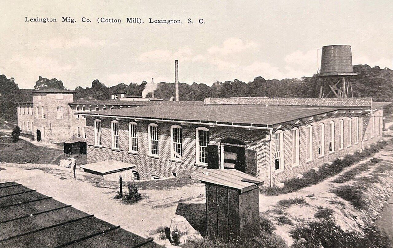
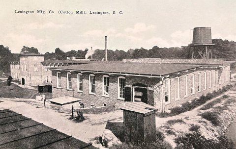
4 of 10 decades since 1900 have photos 🔁Retake an old viewLexington - Lexington Mfg. Co. (C…, c. 1915: stand where they stood+15 📦Share a family photoSign in to add one+10Lexington, decade by decade
1990s
15 historic places in Lexington
15 places in Lexington are on the National Register of Historic Places, the country’s official list of buildings and places worth saving.
Where they are
Architectural styles
When they were listed
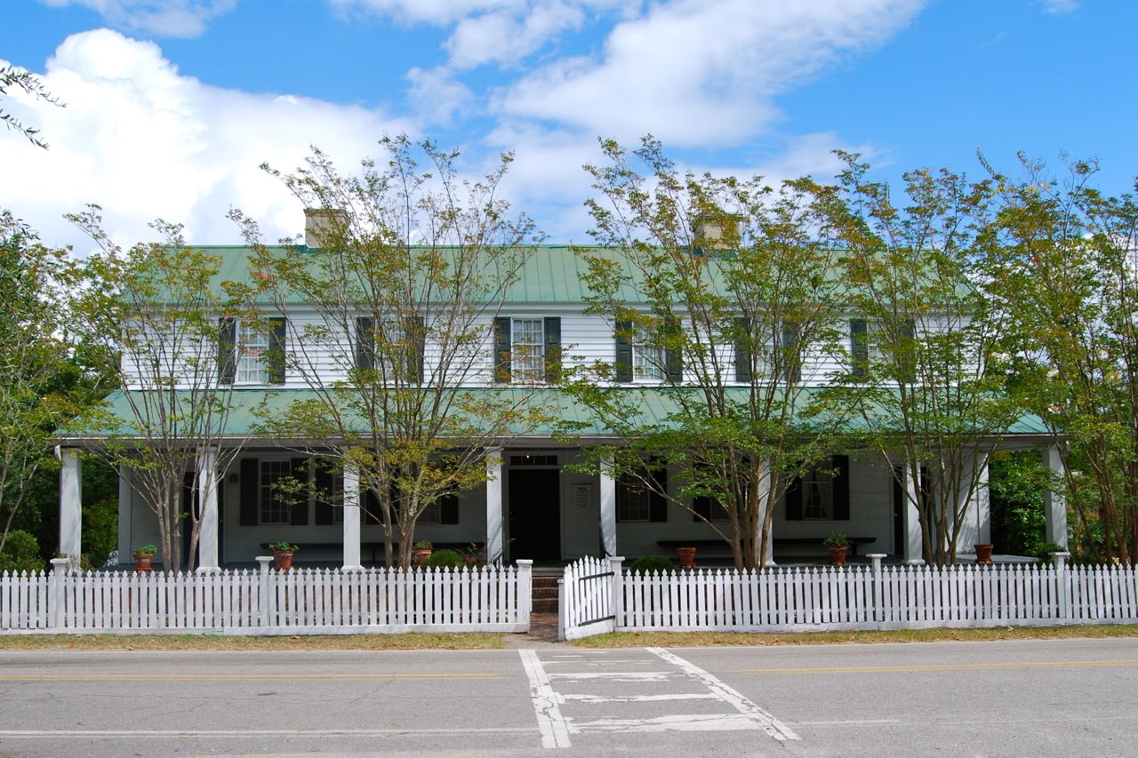 Listed 1970Fox House
 Listed 1973Ernest L. Hazelius House
 Listed 1977Lemuel Boozer House
 Listed 1977William Berly House
 Listed 1979Maj. Henry A. Meetze House
 Listed 1983Bank of Western Carolina
 Listed 1983C. E. Corley House
 Listed 1983Charlton Rauch House
 Listed 1983David Rawl House
 Listed 1983Home National Bank
 Listed 1983James Harman Building
 Listed 1983John Solomon Hendrix House
 Listed 1983Simmons-Harth House
 Listed 1983W. Q. M. Berly House
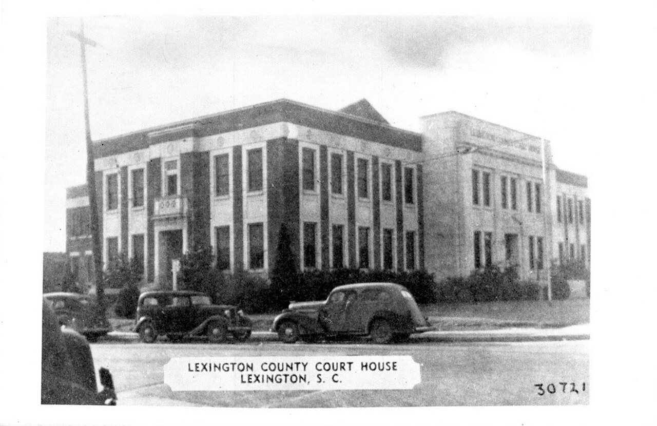
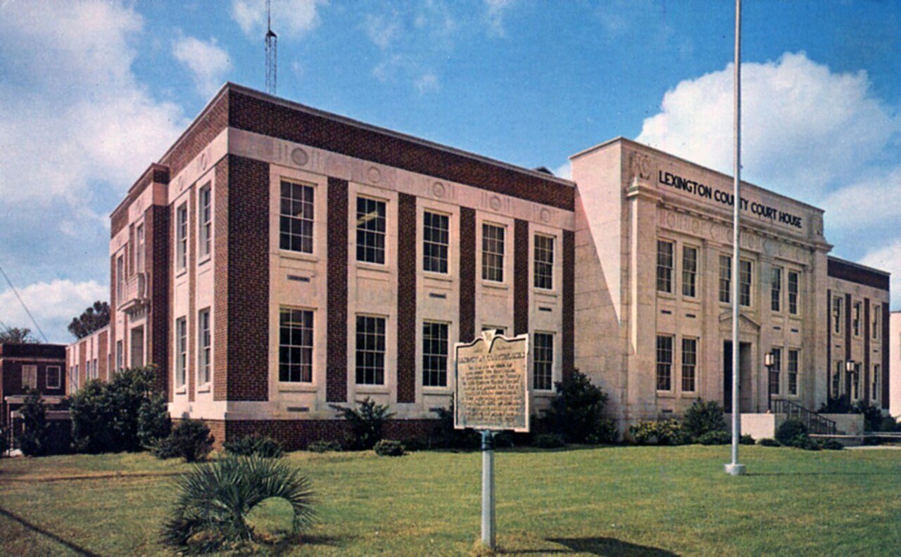
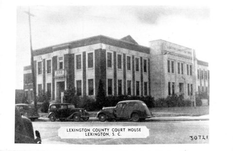
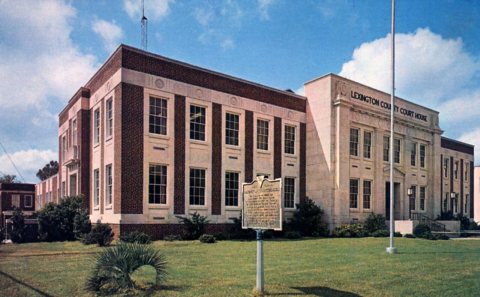
 Listed 2014Lexington County Courthouse
Then & now
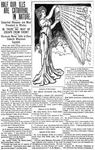
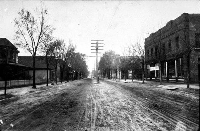
No then-and-now pairs yet. Take a photo from the same spot as Half Our Ills-are Catarrhal in Nature (1902) and it appears here side by side.
🔁 Retake this view · +15Stories next door
nearby towns’ historyFrom Wikimedia Commons (5) and the National Register (1). Images are copied here with their credits and licenses, shown on each photo’s page. Refreshed monthly.