The story
from WikipediaRead it all ↗Dale was formerly on the alignment of the Seaboard Air Line Railroad's Carolina Division low-level main line, constructed from 1915 and opened December 31, 1917. This rail route passed to the Seaboard Coast Line Railroad with the July 1, 1967 merger of the SAL and longtime rival Atlantic Coast Line Railroad, becoming the Charleston Subdivision, and the line downgraded with most traffic rerouting over the former ACL alignment to the west. The "East Carolina Subdivision", as it was colloquially called, was abandoned by stages, with the first portion removed north of Dale, between Lobeco and Charleston, after October 1, 1967. Following the April 21, 1971 destruction of the old SAL lift bridge over the Savannah River by a ship in foggy conditions, the southern connection into Savannah was cut and the rail line removed between Coosaw and Pritchardville, south of Dale, in 1978. Most of the re…
Text from Wikipedia, licensed CC BY-SA 4.0.
Start Dale’s collection
The first neighbors to add old photos shape how Dale’s history is told.
0 of 10 decades since 1900 have photos 📦Share a family photoSign in to add one+10Famous people close to Dale
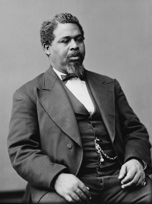
See all 19 →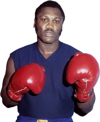


Dale, decade by decade
2000
Nothing in Dale is on the National Register yet
That’s true of most small towns. It doesn’t mean Dale has no history, only that no one has written up a nomination. The closest listed place is McLeod Farmstead in Seabrook, 4.2 miles away.
Dale and the nearest listed places


How a place gets listed
Then & now
When neighbors add old photos, retakes from the same spot appear here side by side.