A history of Clover,
since 1887
Postcards, papers and photographs of Clover from public archives, woven together by decade. Neighbors fill in the gaps.
The story
from WikipediaRead it all ↗Clover was founded just north of an earlier settlement, New Centre, which had waned during the Civil War. The pivotal American Revolutionary War battle of Kings Mountain occurred approximately eight miles to the west of modern-day Clover, on October 7, 1780.
Prior to Clover's founding, Bethany and Bethel, communities to the west and east, respectively, were primary population centers in northern York District, with well-established Presbyterian churches, post offices and stores serving the area's numerous cotton farms.
The village of Clover began as a railway stop in 1876, midway between Yorkville, and modern-day Gastonia, North Carolina, when the first railroad tracks were laid through the northern section of the county.
Text from Wikipedia, licensed CC BY-SA 4.0.
Timeline
built from the dates on the items belowFinish Clover’s story
Most archives stop around 1920. The photos from after that are in family albums, not libraries.
0 of 10 decades since 1900 have photos 🔁Retake an old view1940 Census Enumeration District …, 1880: stand where they stood+15 📦Share a family photoSign in to add one+10Famous people from Clover
See all 3 →Clover, decade by decade
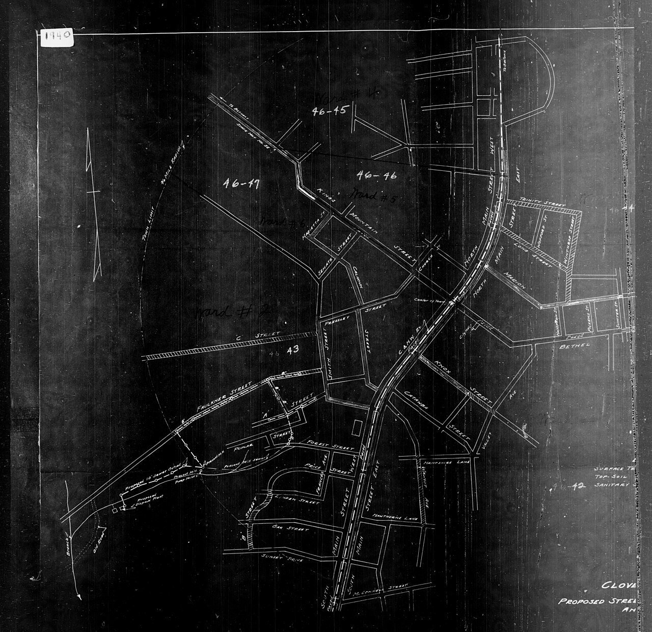
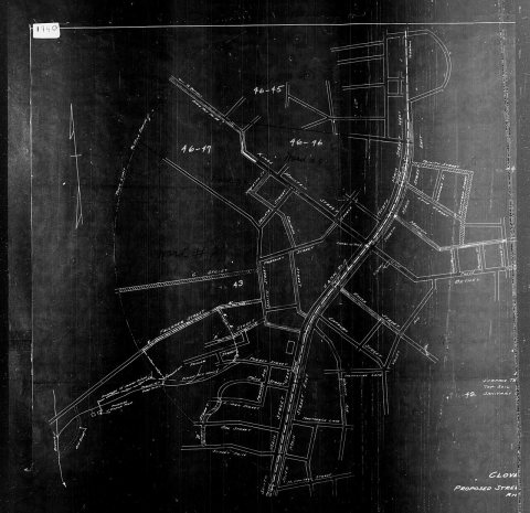 Commons1940 Census Enumeration District Maps - South Carolina - Yo…1880
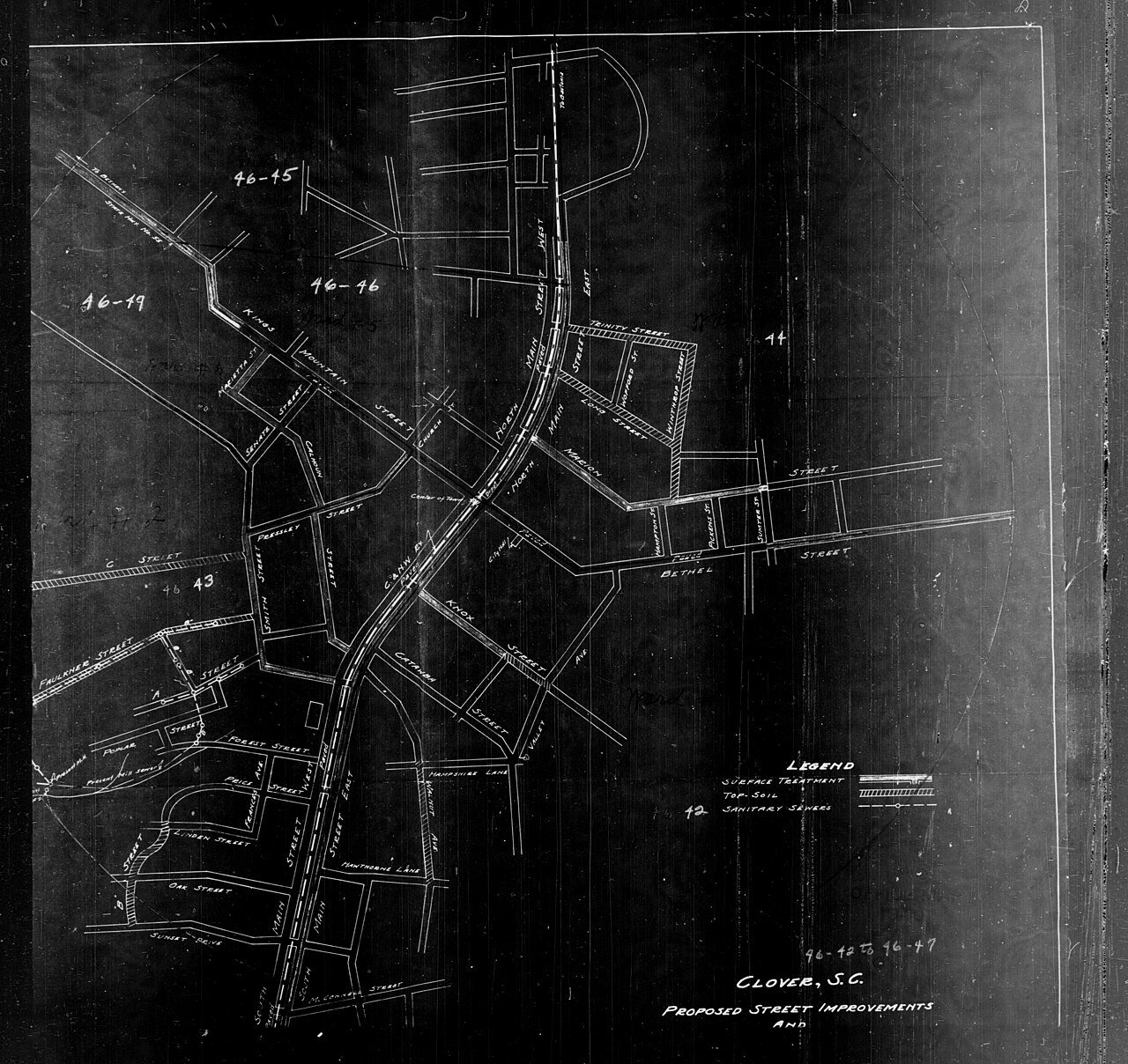
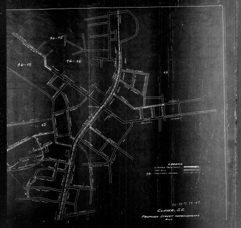 Commons1940 Census Enumeration District Maps - South Carolina - Yo…1880
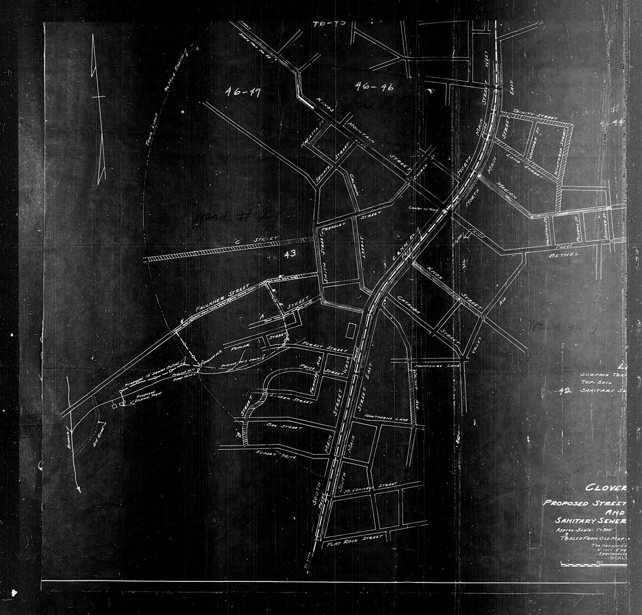
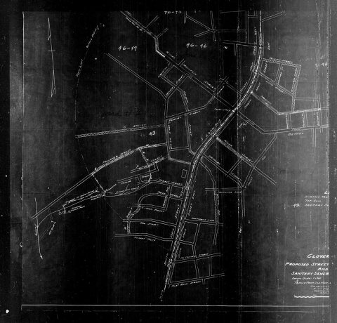 Commons1940 Census Enumeration District Maps - South Carolina - Yo…1880
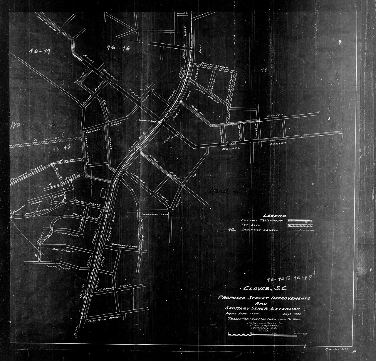
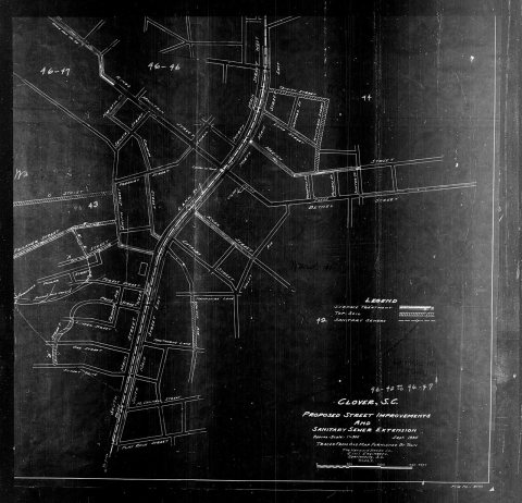 Commons1940 Census Enumeration District Maps - South Carolina - Yo…1880
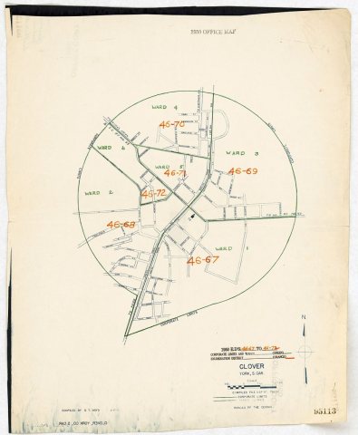 Commons1950 Census Enumeration District Maps - South Carolina (SC)…1880
1990s
2 historic places in Clover
Clover has 2 listings on the National Register, and they protect 15 historic buildings, because Clover Downtown Historic District alone counts 14.
Where they are
When they were listed
Then & now
No then-and-now pairs yet. Take a photo from the same spot as 1950 Census Enumeration District Maps - South Carolina (SC) - York County - Clover - ED 46-67 to 72 (1880) and it appears here side by side.
🔁 Retake this view · +15Stories next door
nearby towns’ historyFrom Wikimedia Commons (6). Images are copied here with their credits and licenses, shown on each photo’s page. Refreshed monthly.