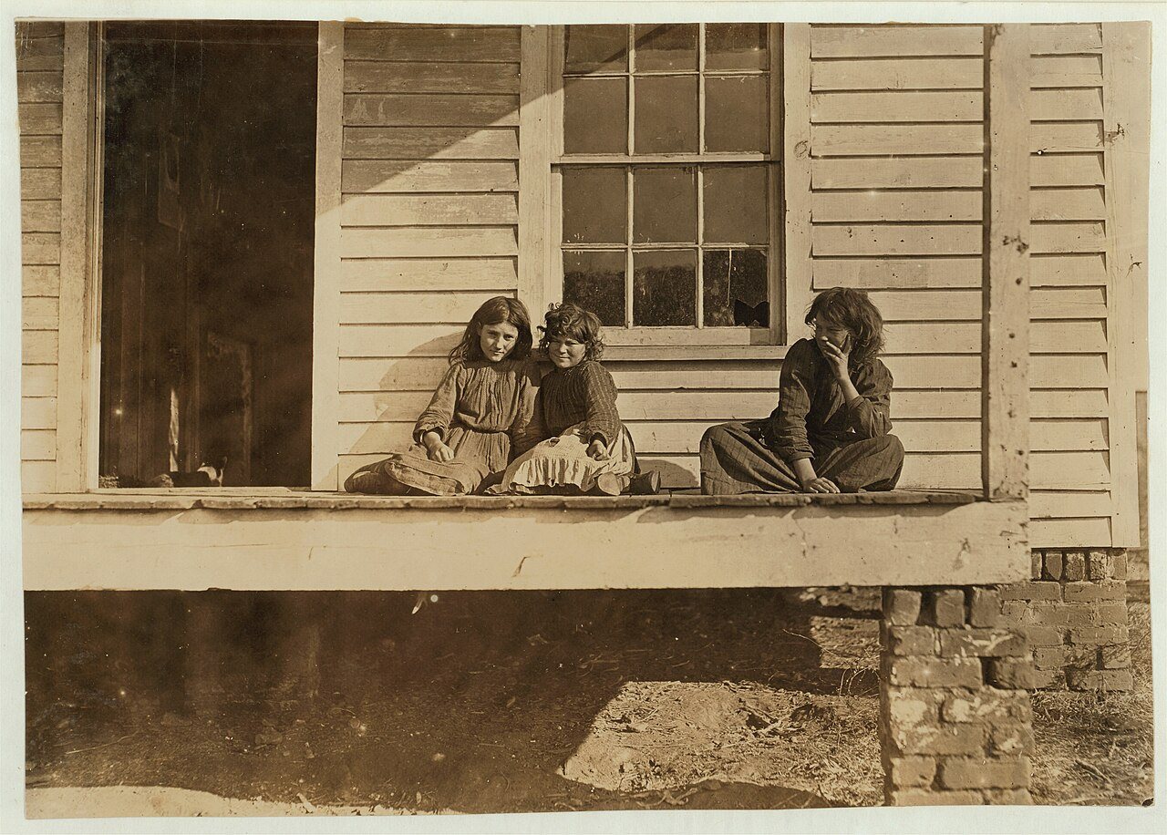
A history of Chester,
then and now
Postcards, papers and photographs of Chester from public archives, woven together by decade. Neighbors fill in the gaps.
The story
from WikipediaRead it all ↗While being transported to Richmond, Virginia, for his trial for treason, former Vice-President Aaron Burr passed through Chester. Burr "flung himself from his horse and cried for a rescue, but the officer commanding the escort seized him, threw him back like a child into the saddle, and marched on." The large stone he stood on has been inscribed and is preserved in the town center, and is known locally as the Aaron Burr Rock.
Chester was home to Brainerd Institute, a school for African American children.
Text from Wikipedia, licensed CC BY-SA 4.0.
Timeline
built from the dates on the items belowFinish Chester’s story
Most archives stop around 1920. The photos from after that are in family albums, not libraries.
1 of 10 decades since 1900 have photos 🔁Retake an old viewChester - Agurs Building, 1907: stand where they stood+15 📦Share a family photoSign in to add one+10Famous people from Chester
See all 26 →

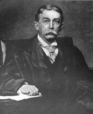
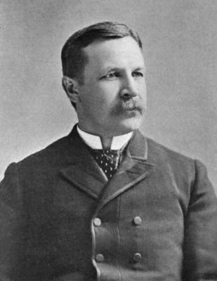
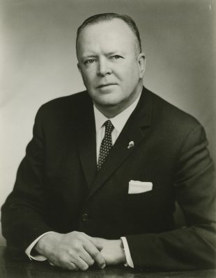
Chester, decade by decade
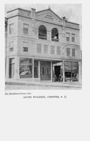 CommonsChester - Agurs Building1907 · postcard
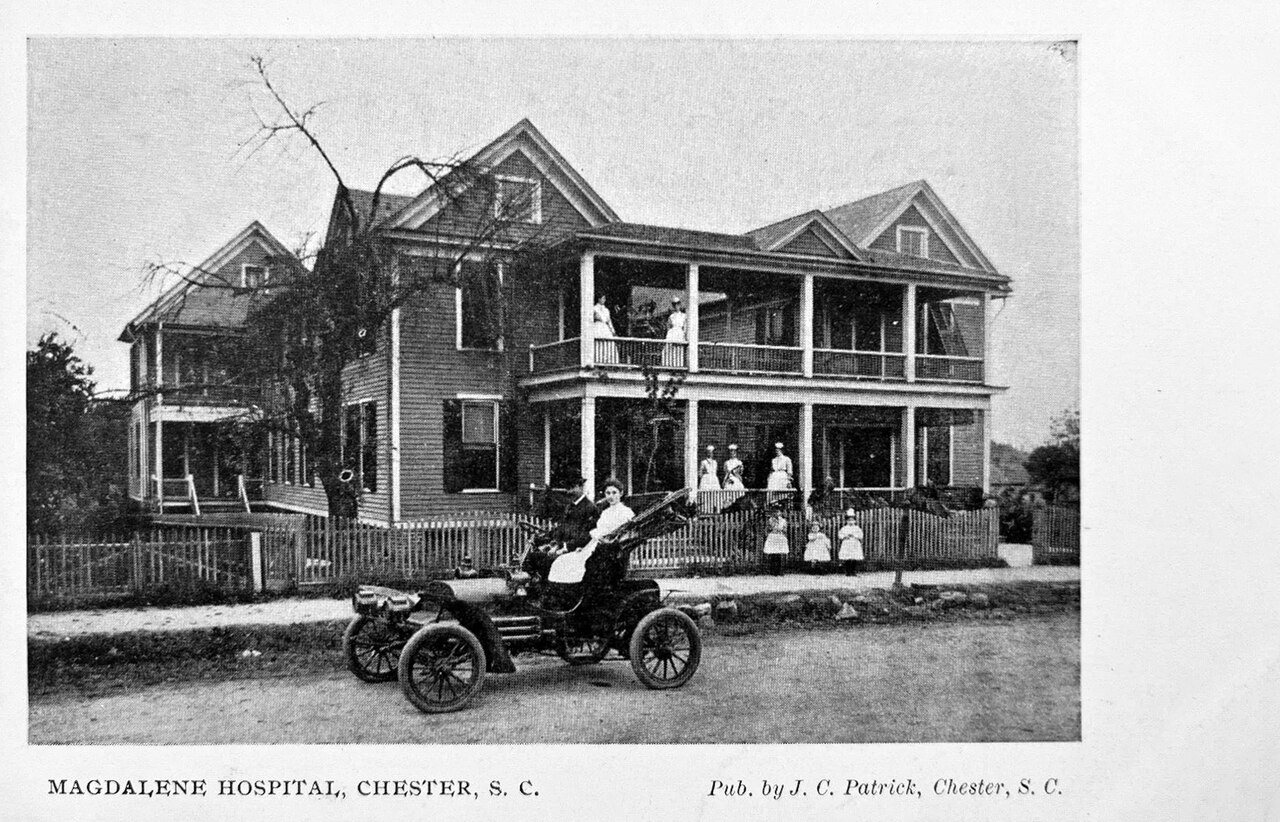
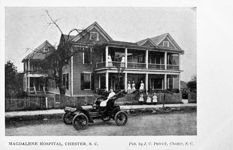 CommonsChester - Magdalene Hospitalc. 1907 · postcard
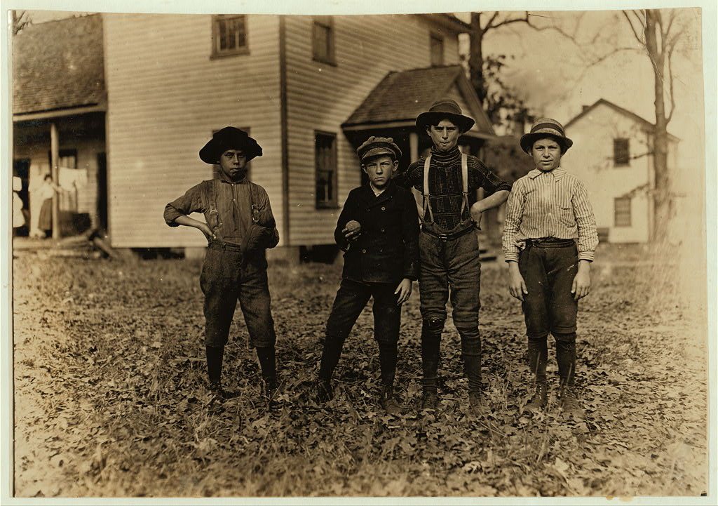
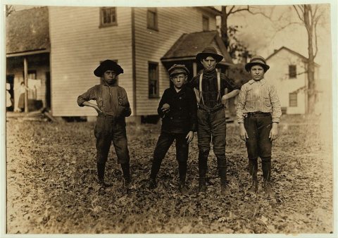 CommonsA Saturday ball game. Springstein Mills, Chester, S.C. Boy …1908
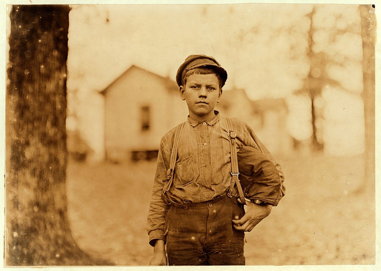
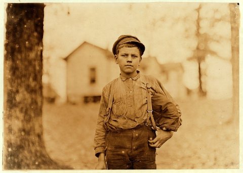 CommonsLewis Hine, Archie Love, mill worker, 14 years old, Chester…1908
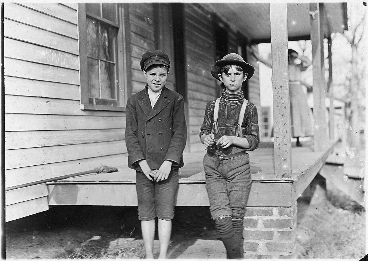
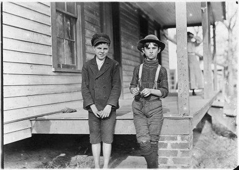 CommonsSpringstein Mill. John Lewis (boy with hat), 12 years old, …1908
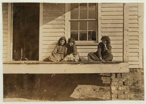 CommonsWylie Mill, Chester, S.C. Girl at end of porch Daisy Estis …1908
1990s
Then & now
No then-and-now pairs yet. Take a photo from the same spot as Chester - Agurs Building (1907) and it appears here side by side.
🔁 Retake this view · +15Stories next door
nearby towns’ historyFrom Wikimedia Commons (6). Images are copied here with their credits and licenses, shown on each photo’s page. Refreshed monthly.