A history of Bowman,
then and now
Postcards, papers and photographs of Bowman from public archives, woven together by decade. Neighbors fill in the gaps.
The story
from WikipediaRead it all ↗Interest in building a town at the intersection of present-day US 178 (Charleston Highway) and S.C. 210 (Branchville-Providence Roads) was evidenced in the acquisition of substantial properties of the Reddick A. Bowman estate by one Samuel W. Dibble, Sr. of Orangeburg, SC in 1887. The Smoak Tramway, a six-mile logging railroad extending from Branchville toward north Four Holes Swamp which was chartered in 1884, was also targeted for acquisition by Dibble's associate, Thomas M. Raysor, who operated the Raysor Mill near Stokes. These actions, aimed at developing and exploiting the agricultural and lumbering potential of an area that had remained rather dormant since the American Civil War, were taking place in the late 1880s. These represented the prelude to the chartering of the future Town of Bowman and the transportation and land development organizations and operations which preceded …
Text from Wikipedia, licensed CC BY-SA 4.0.
Timeline
built from the dates on the items belowFinish Bowman’s story
Most archives stop around 1920. The photos from after that are in family albums, not libraries.
1 of 10 decades since 1900 have photos 🔁Retake an old viewBowman, South Carolina. Sergeant …, 1943: stand where they stood+15 📦Share a family photoSign in to add one+10Famous people from Bowman
See all 4 →
Bowman, decade by decade
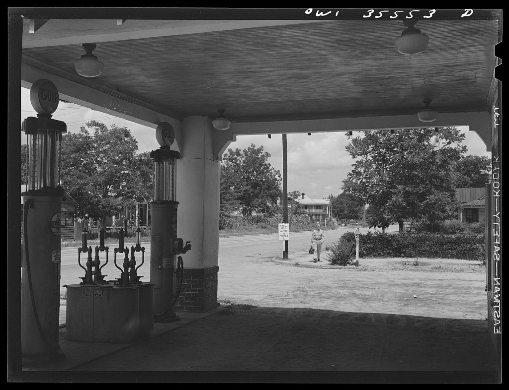
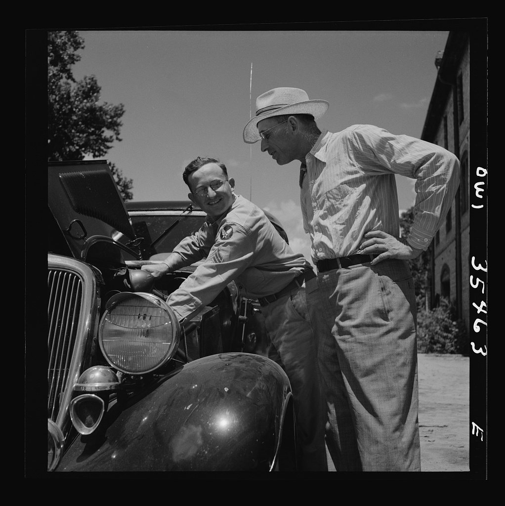
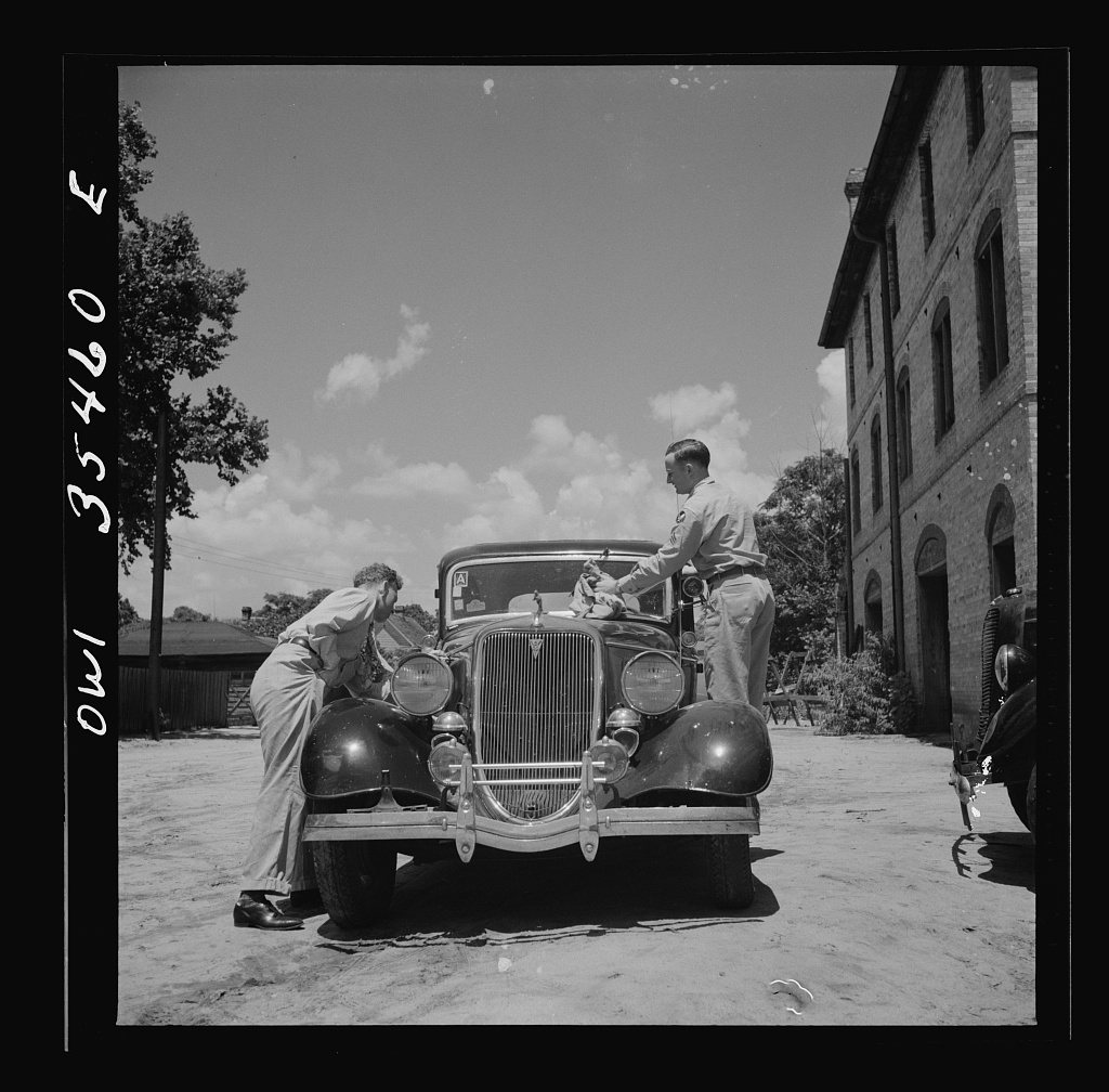
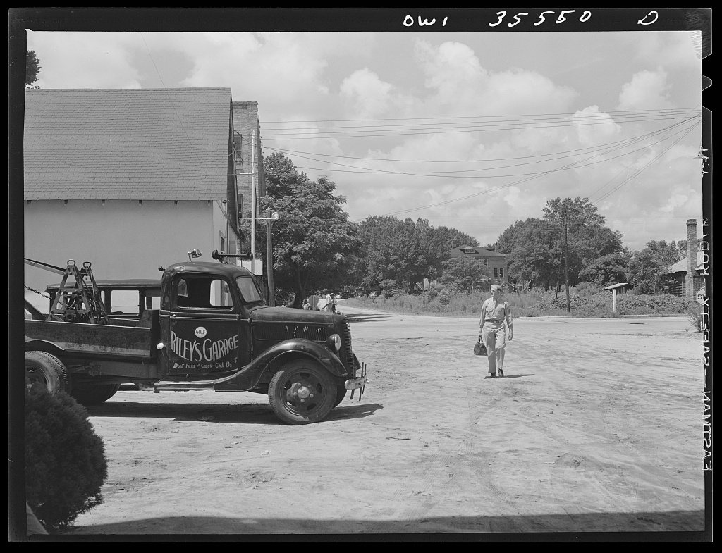
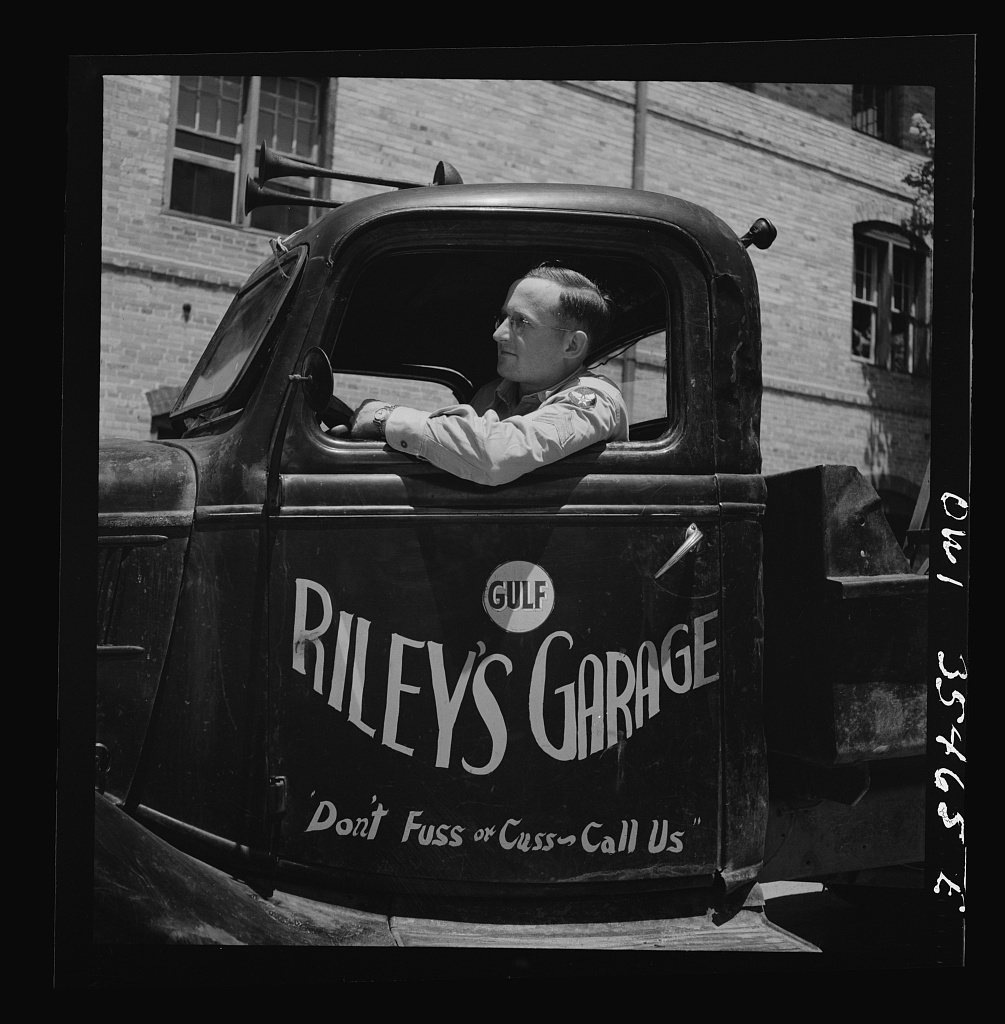
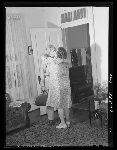 LOCBowman, South Carolina. Sergeant John Riley of the 25th ser…1943
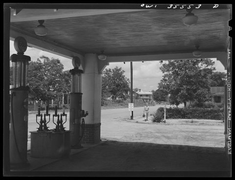 LOCBowman, South Carolina. Sergeant John Riley of the 25th ser…1943
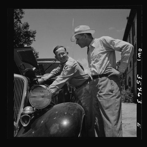 LOCBowman, South Carolina. Sergeant John Riley of the 25th ser…1943
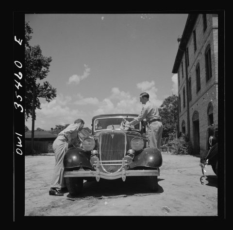 LOCBowman, South Carolina. Sergeant John Riley of the 25th ser…1943
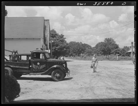 LOCBowman, South Carolina. Sergeant John Riley of the 25th ser…1943
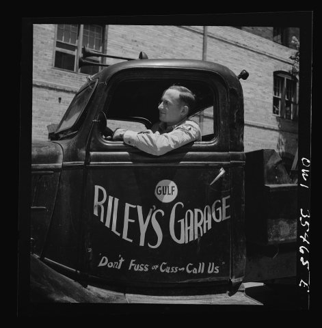 LOCUntitled photo, possibly related to: Bowman, South Carolina…1943
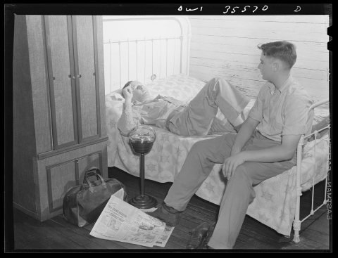 LOCBowman, South Carolina. Sergeant John Riley, of the 25th se…1943
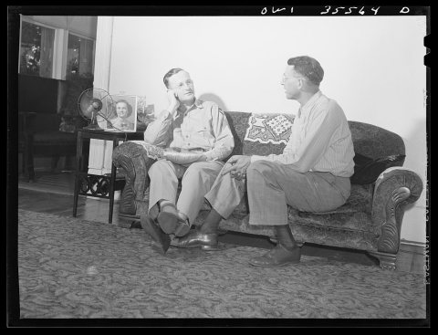 LOCBowman, South Carolina. Sergeant John Riley of the 25th ser…1943
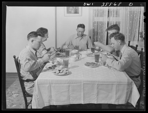 LOCBowman, South Carolina. Sergeant John Riley, of the 25th se…1943
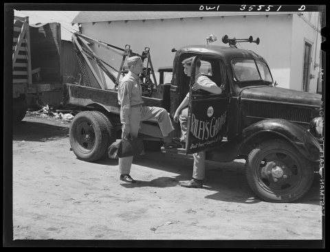 LOCUntitled photo, possibly related to: Bowman, South Carolina…1943
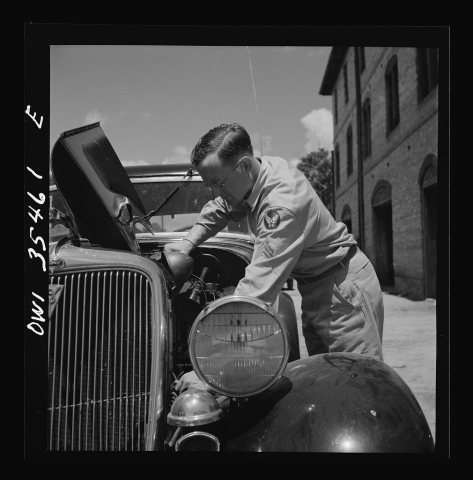 LOCBowman, South Carolina. Sergeant John Riley of the 25th ser…1943
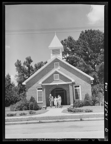 LOCBowman, South Carolina. Sergeant John Riley of the 25th ser…1943
1990s
Nothing in Bowman is on the National Register yet
That’s true of most small towns. It doesn’t mean Bowman has no history, only that no one has written up a nomination. The closest listed place is Cattle Creek Campground in Bowman, 4.3 miles away.
Bowman and the nearest listed places
How a place gets listed
Then & now
No then-and-now pairs yet. Take a photo from the same spot as Bowman, South Carolina. Sergeant John Riley of the 25th service group, Air Service Command, coming home on leave (1943) and it appears here side by side.
🔁 Retake this view · +15Stories next door
nearby towns’ historyFrom the Library of Congress (12). Images are copied here with their credits and licenses, shown on each photo’s page. Refreshed monthly.