The story
from WikipediaRead it all ↗Awendaw was named by the Sewee tribe. Awendaw is thought to mean "Red Clay". It is also home to an oyster shell mound created by the Sewee tribe. It is the northernmost shell ring in a group that stretches south to the tip of Florida. Most of the mound is still intact. The rest of it was destroyed to construct roads and homes for the citizens of Awendaw. Awendaw was settled in 1696 as Wappetaw by settlers from Salem, Massachusetts, who had left after the Salem Witch Trials. The town was heavily damaged by Hurricane Hugo in September 1989, but did not receive as significant damage in 2004 when Hurricane Gaston made landfall in the region. In 1992, the town of Awendaw was first incorporated and elected Willam H. Alston as the first mayor. Alston served as mayor until 2009.
Text from Wikipedia, licensed CC BY-SA 4.0.
Start Awendaw’s collection
The first neighbors to add old photos shape how Awendaw’s history is told.
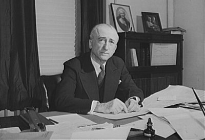
0 of 10 decades since 1900 have photos 📦Share a family photoSign in to add one+10Famous people close to Awendaw
See all 28 →


Awendaw, decade by decade
2000
Then & now
When neighbors add old photos, retakes from the same spot appear here side by side.
Stories next door
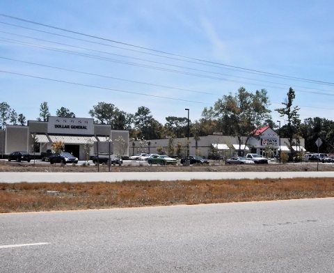
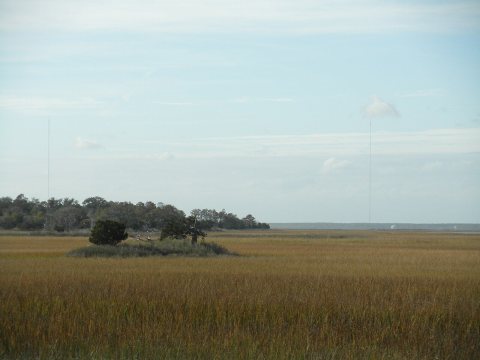
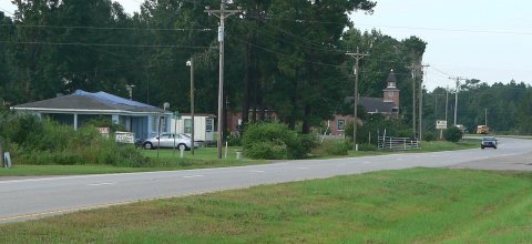
nearby towns’ historyFrom Wikimedia Commons (6). Images are copied here with their credits and licenses, shown on each photo’s page. Refreshed monthly.