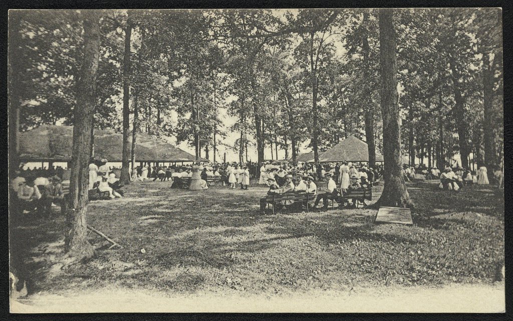
A history of Kutztown,
since 1815
Postcards, papers and photographs of Kutztown from public archives, woven together by decade. Neighbors fill in the gaps.
The story
from WikipediaRead it all ↗George (Coots) Kutz purchased 130 acres (53 ha) of land that became Kutztown on June 16, 1755, from Peter Wentz who owned much of what is present-day Maxatawny Township. Kutz first laid out his plans for the town in 1779. The first lots in the new town of Cootstown, later renamed Kutztown, were purchased in 1785 by Adam Dietrich and Henry Schweier.
Kutztown was incorporated as a borough on April 7, 1815, and is the second oldest borough in Berks County after Reading, which became a borough in 1783 and became a city in 1847.
Like most of Berks County, Kutztown was settled predominantly by Germans, most of whom came from the Palatinate region of southwest Germany, which borders the Rhine river.
Text from Wikipedia, licensed CC BY-SA 4.0.
Timeline
built from the dates on the items belowFinish Kutztown’s story
Most archives stop around 1920. The photos from after that are in family albums, not libraries.
1 of 10 decades since 1900 have photos 🔁Retake an old view1940 Census Enumeration District …, 1880: stand where they stood+15 📦Share a family photoSign in to add one+10Famous people from Kutztown
See all 4 →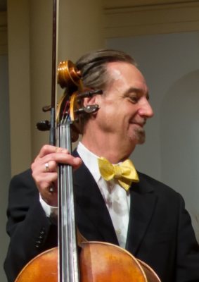

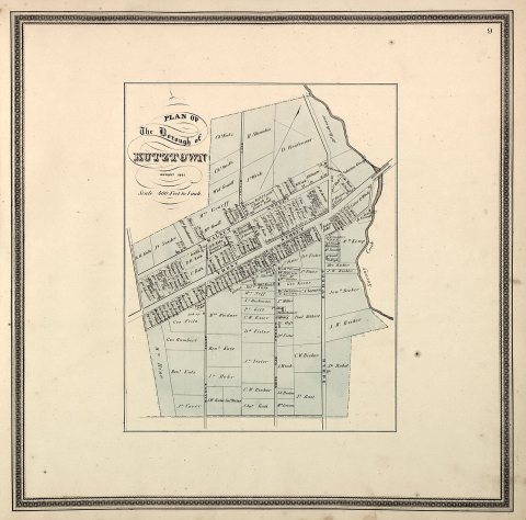
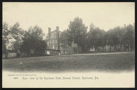
Kutztown, decade by decade
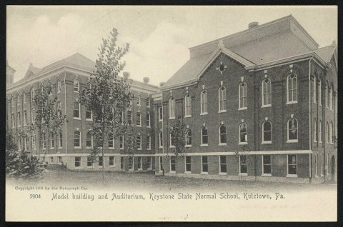
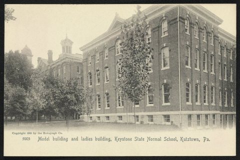
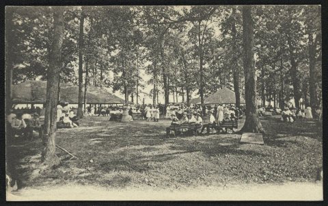
1990s
2 historic places in Kutztown
2 places in Kutztown are on the National Register of Historic Places, the country’s official list of buildings and places worth saving.
Where they are
When they were listed


Then & now
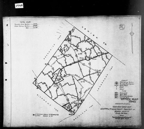
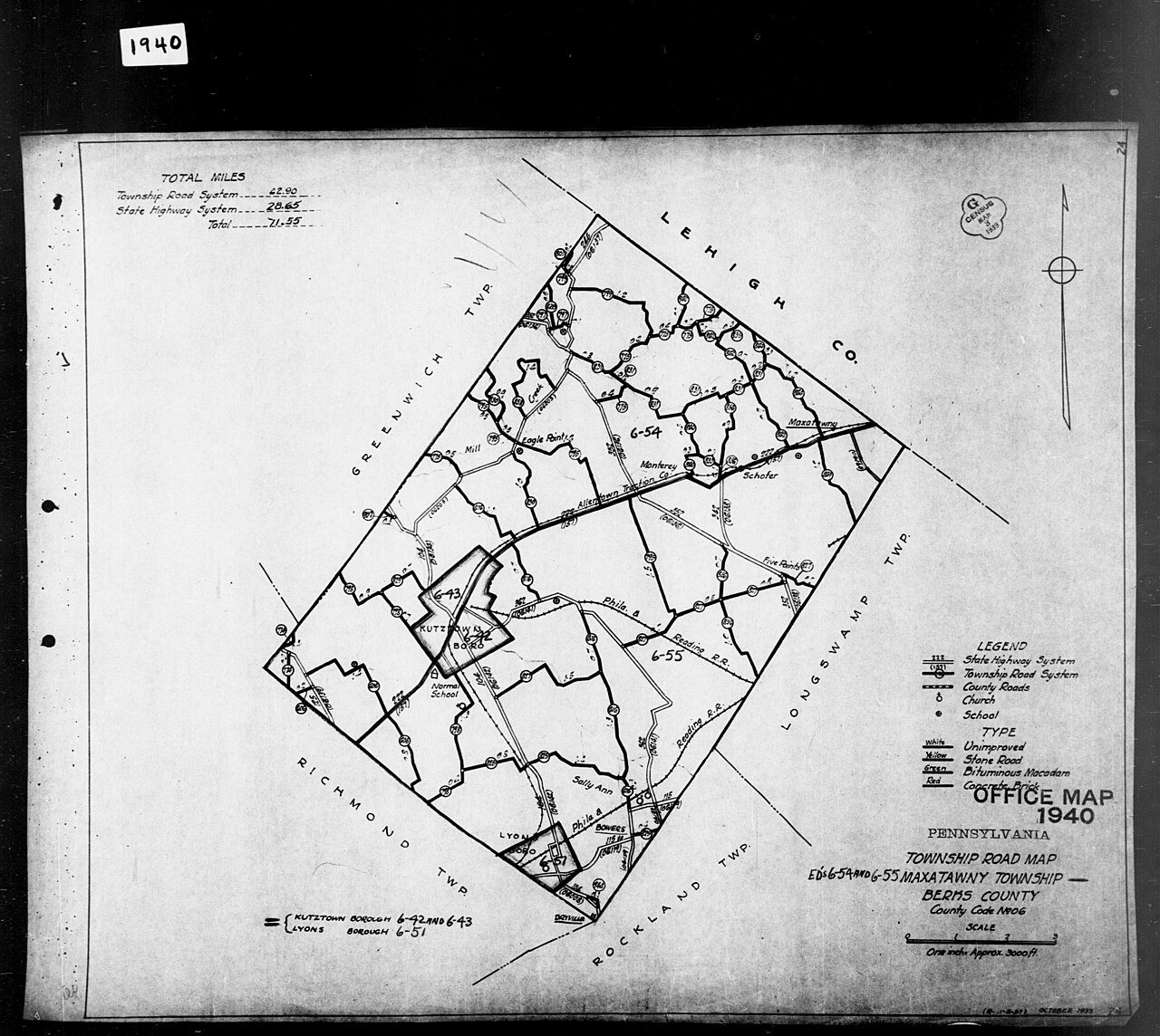
No then-and-now pairs yet. Take a photo from the same spot as 1940 Census Enumeration District Maps - Pennsylvania - Berks County - Maxatawny - ED 6-54, ED 6-55 (1880) and it appears here side by side.
🔁 Retake this view · +15Stories next door
nearby towns’ historyFrom Wikimedia Commons (2) and the Library of Congress (4). Images are copied here with their credits and licenses, shown on each photo’s page. Refreshed monthly.