The story
from WikipediaRead it all ↗The origin of Folcroft can be traced back to the mid 1600s and early settlements of New Sweden. Delmar Drive was once part of Calcon Hook Road. Calcon is the Swedish word for "turkey", and Hook is the Swedish word for "road". The original road was a Leni Lenape trail called "Turkey's Neck Trail" by the settlers, and was no more than 4 feet (1.2 m) wide.
Originally productive farmlands, it became a residential suburb of Philadelphia with the construction of the Pennsylvania Railroad through the area in 1874. A passenger stop was built and named Folcroft, or "leafy fields". Originally part of Darby Township, Folcroft was incorporated as a borough in 1922.
Text from Wikipedia, licensed CC BY-SA 4.0.
Start Folcroft’s collection
The first neighbors to add old photos shape how Folcroft’s history is told.
0 of 10 decades since 1900 have photos 📦Share a family photoSign in to add one+10Famous people from Folcroft
See all 1 →Folcroft, decade by decade
2000
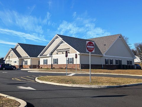 CommonsFolcroft, PA Municipal Complex (2), Dec. 20252025
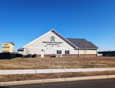 CommonsFolcroft, PA Municipal Complex (1), Dec. 20252025
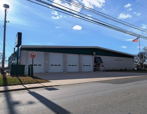 CommonsFolcroft, PA Fire Company, Nov. 20252025
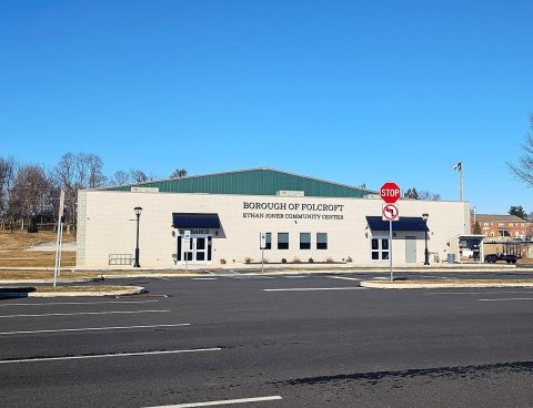 CommonsFolcroft, PA Community Center, Dec. 20252025
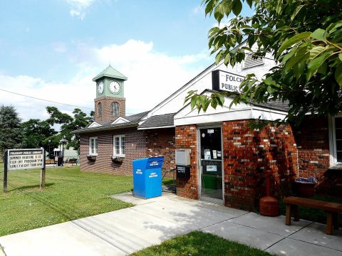 CommonsFolcroft DelCo PA Public Library2017
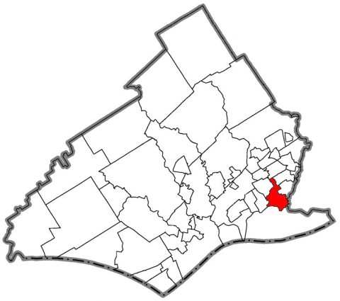 CommonsFolcroft, Delaware County, Pennsylvania2007
Then & now
When neighbors add old photos, retakes from the same spot appear here side by side.
Stories next door
nearby towns’ historyFrom Wikimedia Commons (6). Images are copied here with their credits and licenses, shown on each photo’s page. Refreshed monthly.