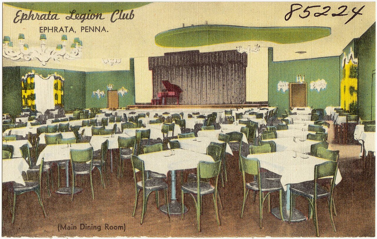
A history of Ephrata,
then and now
Postcards, papers and photographs of Ephrata from public archives, woven together by decade. Neighbors fill in the gaps.
The story
from WikipediaRead it all ↗Ephrata is noteworthy for having been the former seat of the Mystic Order of the Solitary, a semimonastic order of Seventh-Day Dunkers. The community, which contained both men and women, was founded by Johann Conrad Beissel in 1732.
Many of the members were well-educated; Peter Miller, second prior of the monastery, translated the Declaration of Independence into seven languages, at the request of Congress. At the period of its greatest prosperity, the community contained nearly 300 persons.
The Ephrata Commercial Historic District, Ephrata Cloister, Eby Shoe Corporation buildings, Connell Mansion, Mentzer Building, and Mountain Springs Hotel are listed on the National Register of Historic Places.
Text from Wikipedia, licensed CC BY-SA 4.0.
Timeline
built from the dates on the items belowFinish Ephrata’s story
Most archives stop around 1920. The photos from after that are in family albums, not libraries.
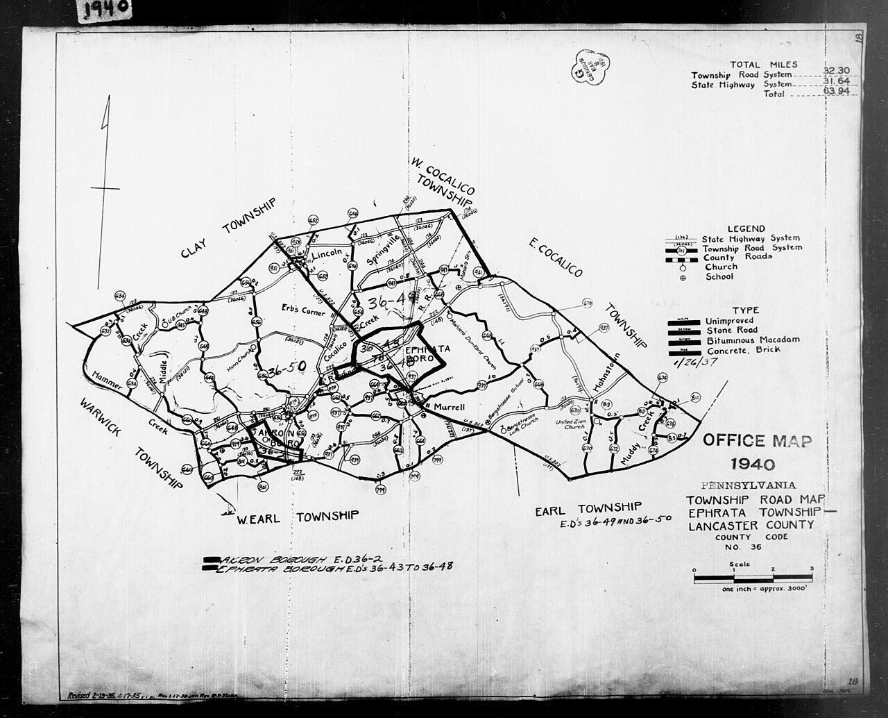
1 of 10 decades since 1900 have photos 🔁Retake an old view1940 Census Enumeration District …, 1880: stand where they stood+15 📦Share a family photoSign in to add one+10Famous people from Ephrata
See all 15 →
Ephrata, decade by decade
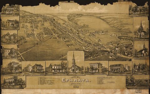
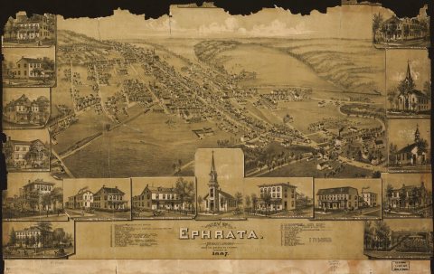
1920s
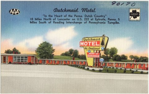
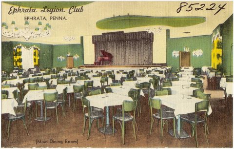
1990s
6 historic places in Ephrata
Ephrata has 6 listings on the National Register, and they protect 57 historic buildings, because Ephrata Commercial Historic District alone counts 36. One is a National Historic Landmark, the highest tier, which fewer than 3% of listings reach.
Where they are
Architectural styles
When they were listed
 LandmarkListed 1967Ephrata Cloister
 Listed 1979Connell Mansion
 Listed 1982Mountain Springs Hotel
 Listed 1985Mentzer Building
 Listed 1989Eby Shoe Corporation
 Listed 2006Ephrata Commercial Historic District
Then & now
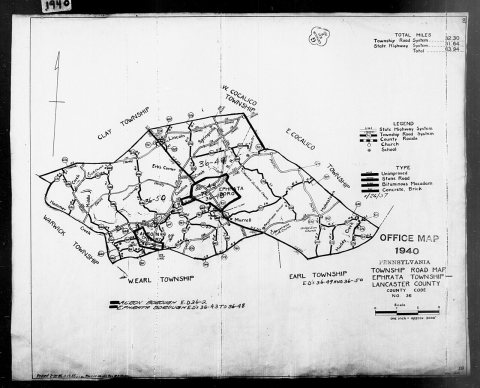
No then-and-now pairs yet. Take a photo from the same spot as 1940 Census Enumeration District Maps - Pennsylvania - Lancaster County - Ephrata - ED 36-43, ED 36-44, ED 36-45, ED 36… (1880) and it appears here side by side.
🔁 Retake this view · +15Stories next door
nearby towns’ historyFrom Wikimedia Commons (5) and the National Register (1). Images are copied here with their credits and licenses, shown on each photo’s page. Refreshed monthly.