Dawson’s history is
mostly unwritten
The public archives hold only 2 old photos of Dawson. The rest are in attics, shoeboxes and the historical society. Help start the collection.
The story
from WikipediaRead it all ↗The land where Dawson was developed had belonged to John Smilie, who held multiple public offices in the government of Pennsylvania and was a member of Congress when he died in December 1812. The property remained in a trust as a part of Smilie's estate, until his last child died in 1851, when the property was sold.
The "bottom land" where Dawson is situated was acquired by John Smilie's granddaughter, Sarah Huston Dawson, and her second husband, George Dawson.
Text from Wikipedia, licensed CC BY-SA 4.0.
Timeline
built from the dates on the items belowStart Dawson’s collection
The first neighbors to add old photos shape how Dawson’s history is told.
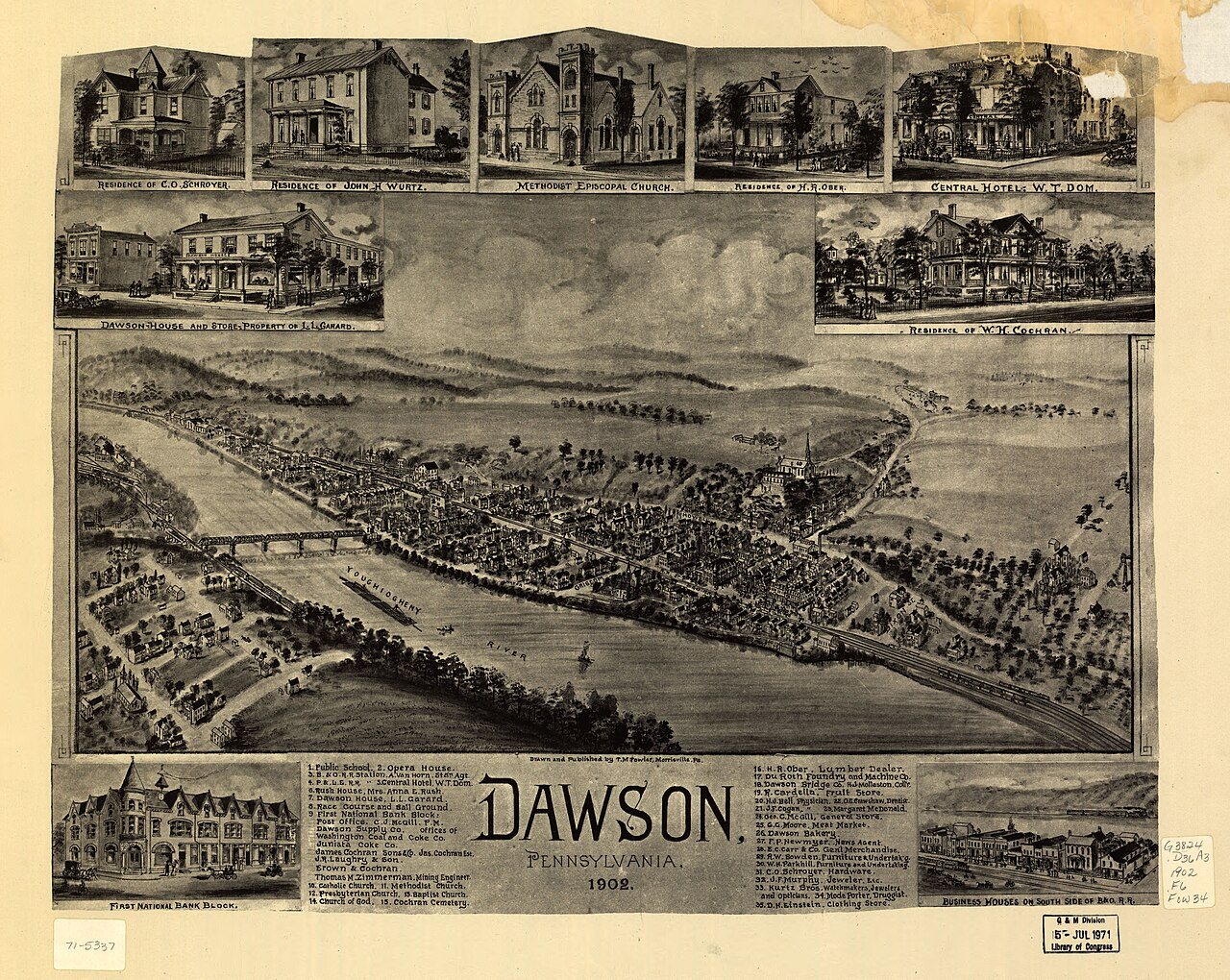
1 of 10 decades since 1900 have photos 🔁Retake an old viewDawson, Pennsylvania 1902, 1902: stand where they stood+15 📦Share a family photoSign in to add one+10Dawson, decade by decade
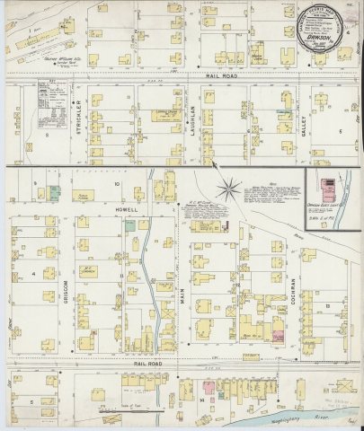
1990s
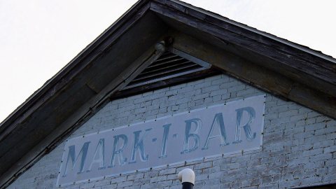 CommonsMark 1 bar2026
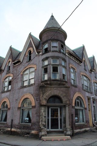 CommonsFirstNationalBankDawson2026
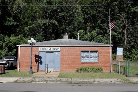 CommonsDawsonBoroughBuilding2026
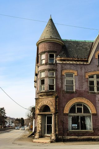 CommonsCochran Bank2026
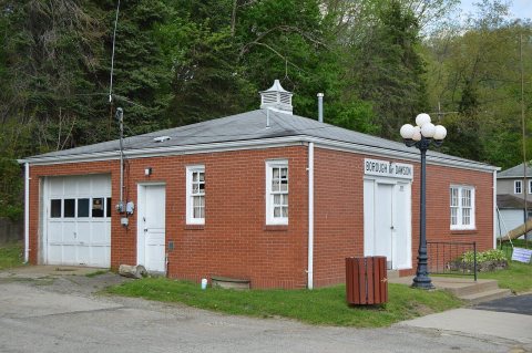 CommonsDawson borough building2015
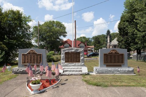 CommonsDawson and Lower Tyrone veterans memorial2015
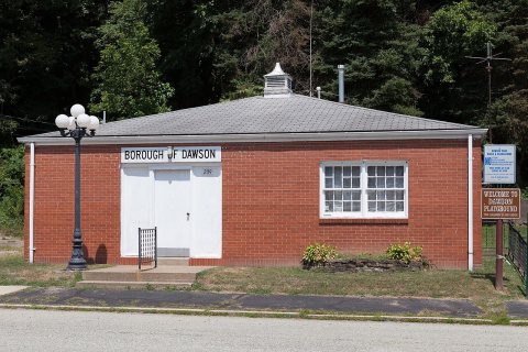 CommonsBorough Building, Dawson Borough, Fayette County, Pennsylva…2015
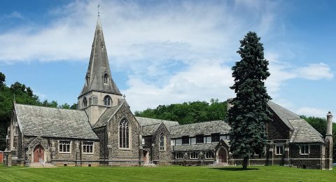 CommonsCochran Memorial United Methodist Church2014
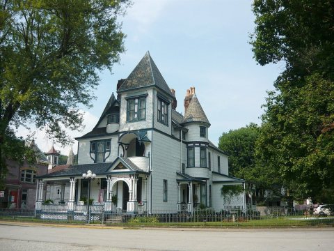 CommonsJames Cochran House Dawson 20112011
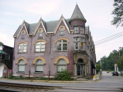 CommonsFirst National Bank of Dawson 20112011
2 historic places in Dawson
Dawson has 2 listings on the National Register, and they protect 108 historic buildings, because Dawson Historic District alone counts 107.
Where they are
When they were listed


Then & now
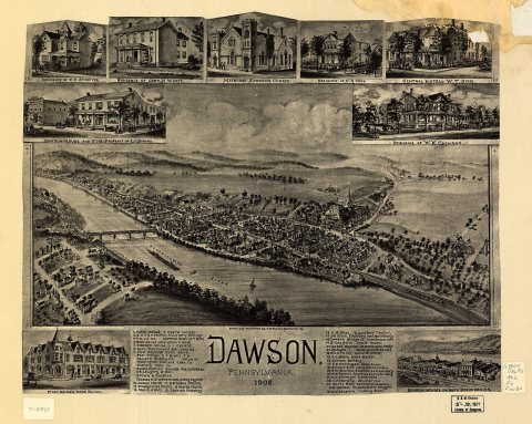
No then-and-now pairs yet. Take a photo from the same spot as Dawson, Pennsylvania 1902 (1902) and it appears here side by side.
🔁 Retake this view · +15Stories next door
nearby towns’ historyFrom Wikimedia Commons (12). Images are copied here with their credits and licenses, shown on each photo’s page. Refreshed monthly.