Corry,
since 1861
Postcards, papers and photographs of Corry from public archives, woven together by decade. Neighbors fill in the gaps.
The story
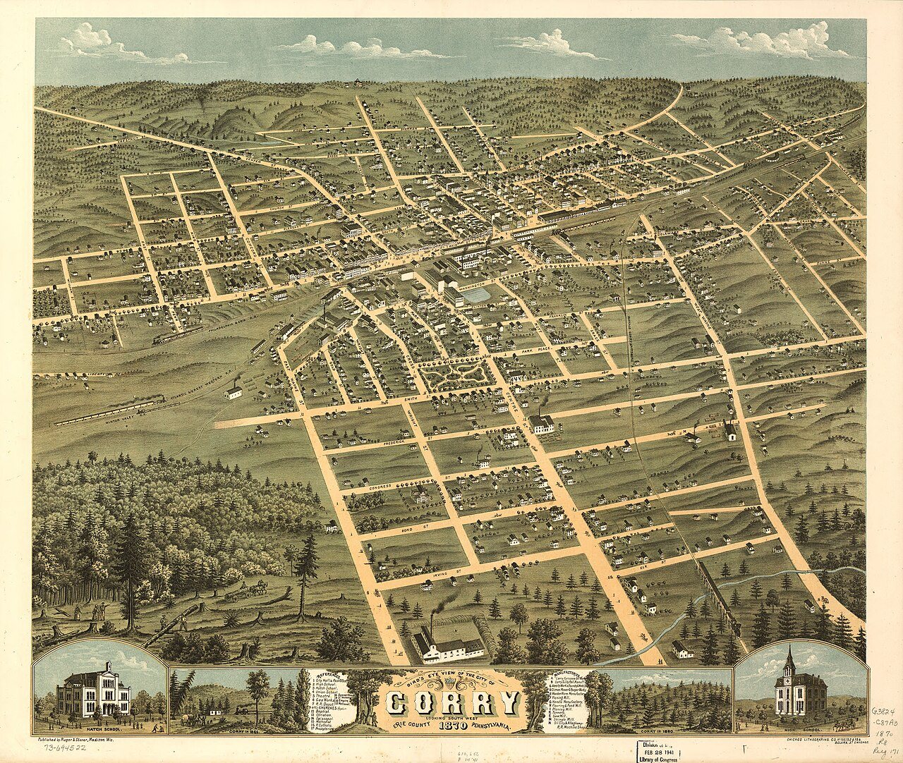
from WikipediaRead it all ↗Erie County was formed from parts of Allegheny County on March 12, 1800. On May 27, 1861, tracks owned by the Atlantic and Great Western Railroad intersected with those of the Sunbury and Erie Railroad and was called the "Atlantic and Erie Junction". Land at the junction was owned by Hiram Cory, who sold a portion to the Atlantic and Great Western in October 1861. The railroad built a ticket office at the junction and named it for Cory, but through a misspelling it became Corry.
Text from Wikipedia, licensed CC BY-SA 4.0.
Timeline
built from the dates on the items belowFinish Corry’s story
Most archives stop around 1920. The photos from after that are in family albums, not libraries.
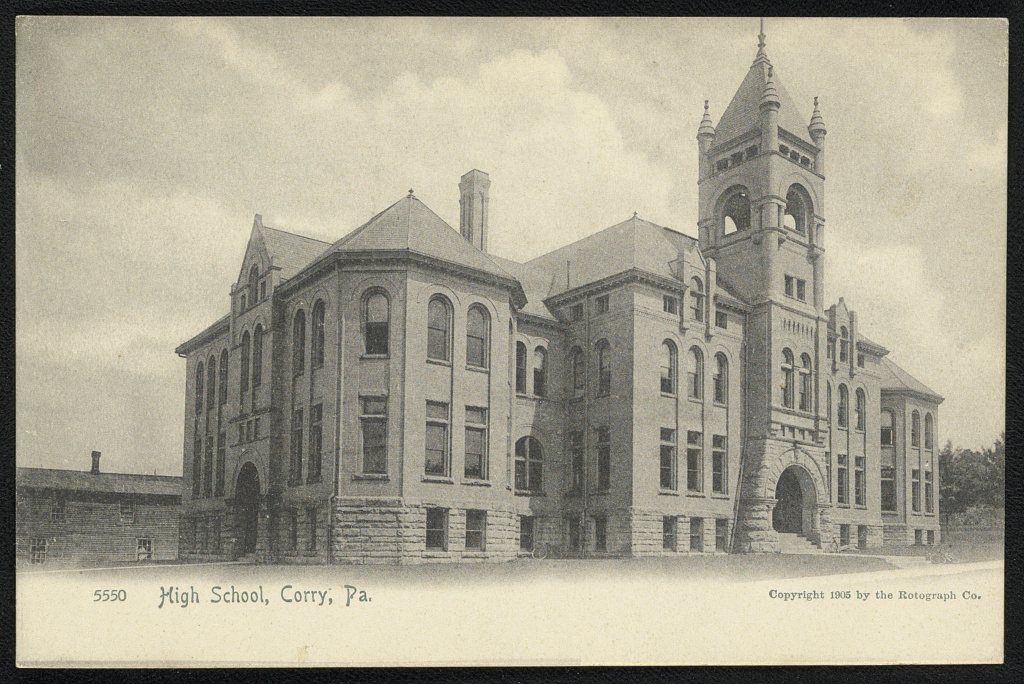
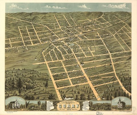
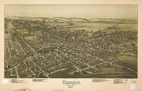
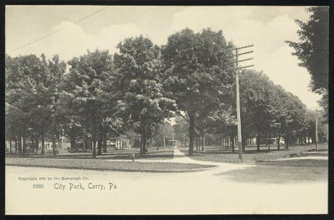
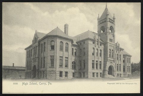
1 of 10 decades since 1900 have photos 🔁Retake an old viewW. H. L. Smith, first mayor of, 1867: stand where they stood+15 📦Share a family photoSign in to add one+10Corry, decade by decade
1990s
Then & now
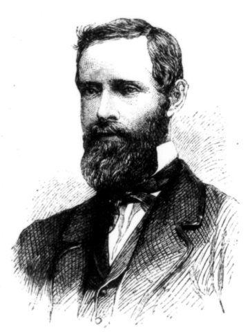
No then-and-now pairs yet. Take a photo from the same spot as W. H. L. Smith, first mayor of (1867) and it appears here side by side.
🔁 Retake this view · +15Stories next door
nearby towns’ historyFrom Wikimedia Commons (4) and the Library of Congress (2). Images are copied here with their credits and licenses, shown on each photo’s page. Refreshed monthly.