The story
from WikipediaRead it all ↗The area that would become Conway was first settled by former American Revolutionary War General John McKee, an Irish immigrant, around 1800 through an 800-acre grant of New Sewickley Township. The area had formerly been known as Crow's Run Valley by several tribes of Native Americans because of the abundance of crows that nested in the Hemlock trees of the region. McKee's land extended in to the forest about 2 miles (3.2 km) from the Ohio River.
Text from Wikipedia, licensed CC BY-SA 4.0.
Start Conway’s collection
The first neighbors to add old photos shape how Conway’s history is told.
0 of 10 decades since 1900 have photos 📦Share a family photoSign in to add one+10Conway, decade by decade
2000
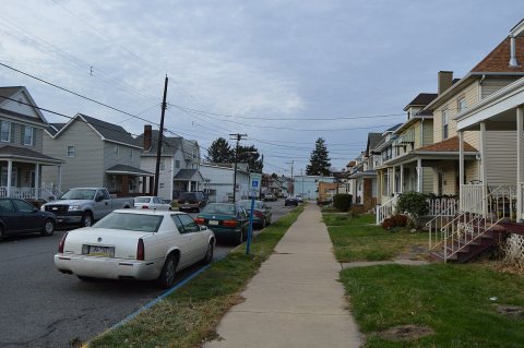
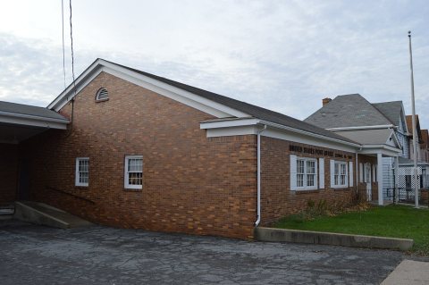
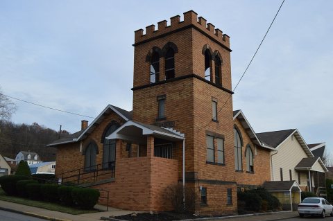
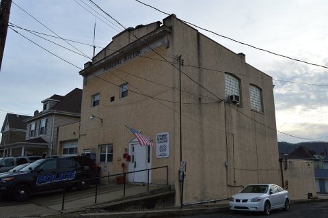
Then & now
When neighbors add old photos, retakes from the same spot appear here side by side.
Stories next door
nearby towns’ historyFrom Wikimedia Commons (4). Images are copied here with their credits and licenses, shown on each photo’s page. Refreshed monthly.