The story
from WikipediaRead it all ↗Prior to colonial explorers, native Indians traveled the "Glade Path", an important trail crossing the future township from north to south. One family of settlers in Beaver Valley, the Bakers, made their home in 1774 in the hills above Raccoon Creek near what is now Pleasant Drive in Center Township. At that time, all lands south of the Ohio had been claimed by Virginia, with the seat of government at Pittsburgh. During the course of the Revolutionary War, Fort McIntosh was constructed at Beaver to aid settlers in defense against the Indians and the British at Detroit. Supplies were brought from Pittsburgh along the old Indian path. The trace was renamed Brodhead's Road, after the commander of Fort McIntosh.
Text from Wikipedia, licensed CC BY-SA 4.0.
Start Center’s collection
The first neighbors to add old photos shape how Center’s history is told.
0 of 10 decades since 1900 have photos 📦Share a family photoSign in to add one+10Famous people from Center
See all 1 →Center, decade by decade
2000
 CommonsCenter Township, PA, USA - panoramio (4)2013
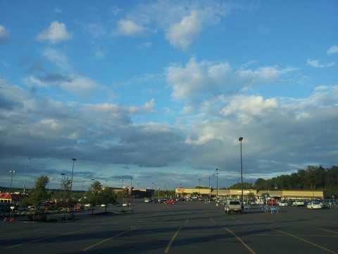 CommonsCenter Township, PA, USA - panoramio (3)2013
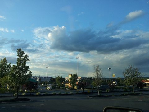 CommonsCenter Township, PA, USA - panoramio (2)2013
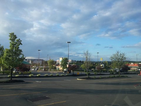 CommonsCenter Township, PA, USA - panoramio (1)2013
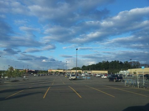 Commons20130512 193204.jpg2013
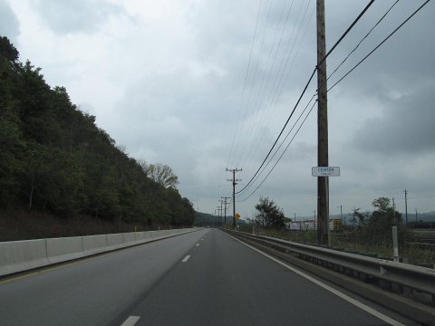 CommonsPennsylvania State Route 512012
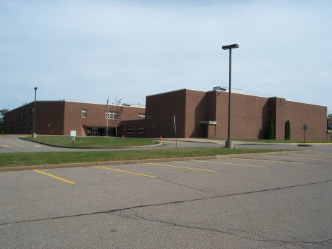 CommonsTodd Lane Elementary School2007
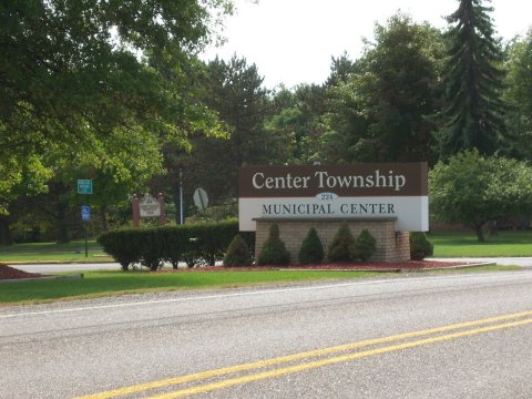 CommonsSign of Center Township Municipal2007
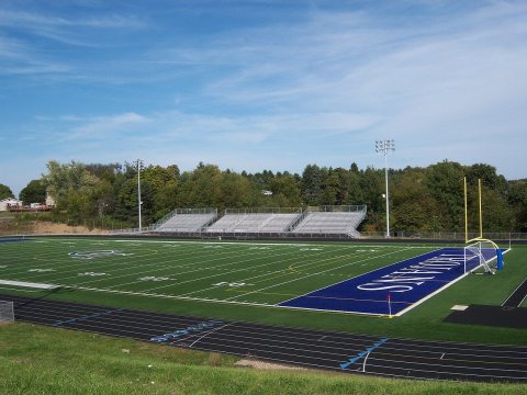 CommonsSarge Alberts Stadium2007
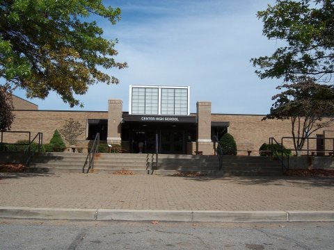 CommonsCentral Valley High School2007
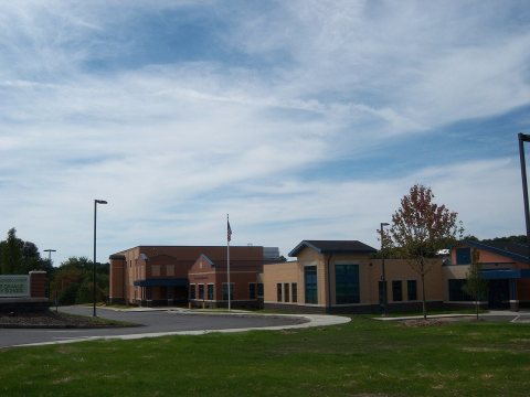 CommonsCenter Grange Primary School2007
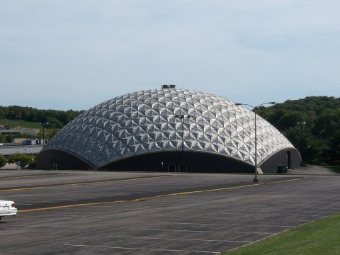 CommonsCCBC Dome2007
Then & now
When neighbors add old photos, retakes from the same spot appear here side by side.
From Wikimedia Commons (12). Images are copied here with their credits and licenses, shown on each photo’s page. Refreshed monthly.