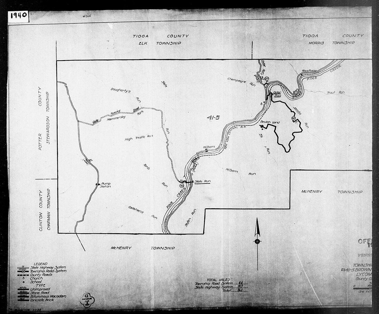
Brown’s history is
mostly unwritten
The public archives hold only 2 old photos of Brown. The rest are in attics, shoeboxes and the historical society. Help start the collection.
The story
from WikipediaRead it all ↗Brown Township, named for Major General Jacob Brown of the War of 1812, was formed on May 3, 1815, by the Court of Quarter Sessions of the Peace of Lycoming County, from parts of Mifflin and Pine townships. Pine Creek and its gorge divide the township nearly in half, and it is the center of history in Brown Township. Pine Creek was a major waterway in the settlement of north-central Pennsylvania and in the lumber era that swept through Pennsylvania in the mid-to-late 19th century. Early pioneers were attracted to its remoteness and abundance of fish and game.
Text from Wikipedia, licensed CC BY-SA 4.0.
Timeline
built from the dates on the items belowStart Brown’s collection
The first neighbors to add old photos shape how Brown’s history is told.
0 of 10 decades since 1900 have photos 🔁Retake an old view1940 Census Enumeration District …, 1880: stand where they stood+15 📦Share a family photoSign in to add one+10Famous people close to Brown
See all 13 →
Brown, decade by decade
1990s
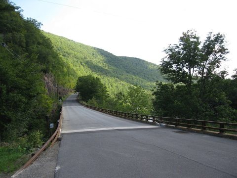
1 historic place in Brown
1 place in Brown is on the National Register of Historic Places, the country’s official list of buildings and places worth saving.
Where they are
When they were listed

Then & now
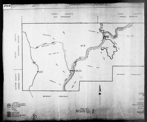
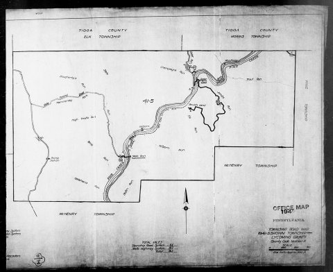
No then-and-now pairs yet. Take a photo from the same spot as 1940 Census Enumeration District Maps - Pennsylvania - Lycoming County - Brown - ED 41-5 (1880) and it appears here side by side.
🔁 Retake this view · +15From Wikimedia Commons (6). Images are copied here with their credits and licenses, shown on each photo’s page. Refreshed monthly.