The story
from WikipediaRead it all ↗The area of Bensalem Township appeared on the Holme Map of 1682, though not yet with a name. On January 2, 1685, the boundary was fixed between Bensalem and Philadelphia County along the Poquessing Creek. At the September 1692 session of Bucks County Court, a jury of thirteen men was formed to define boundaries of divisions that had been created up to that time. The report submitted in December states that "All the lands between Neshamineh and Poquessin, and so to the upper side of Joseph Growden's land in one and to be called 'Salem.'"
Text from Wikipedia, licensed CC BY-SA 4.0.
Start Bensalem’s collection
The first neighbors to add old photos shape how Bensalem’s history is told.
0 of 10 decades since 1900 have photos 📦Share a family photoSign in to add one+10Famous people from Bensalem
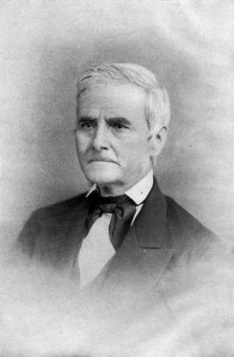
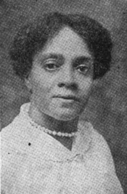
See all 8 →

Bensalem, decade by decade
2000
Then & now
When neighbors add old photos, retakes from the same spot appear here side by side.
Historic places
National Register · via Wikidata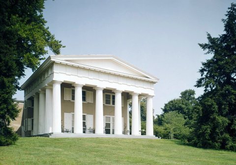
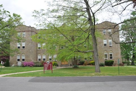
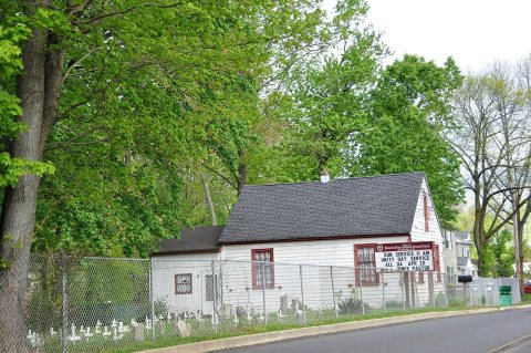
From the National Register (3). Images are copied here with their credits and licenses, shown on each photo’s page. Refreshed monthly.