A history of Shawnee,
since 1895
Postcards, papers and photographs of Shawnee from public archives, woven together by decade. Neighbors fill in the gaps.
The story
from WikipediaRead it all ↗After the American Civil War, the Creek and Seminole nations ceded part of their lands in Indian Territory to the federal government. The Sac and Fox, Citizen Band, Potawatomi, Absentee Shawnee and Kickapoo were subsequently removed to the region that later became Pottawatomie County.
During the 19th century, the area was crossed by the West Shawnee Cattle Trail. In 1891, lands held by the Sac and Fox, Iowa, Shawnee and Potawatomi were opened to non-Indian settlement following allotment and the sale of surplus tribal lands.
Text from Wikipedia, licensed CC BY-SA 4.0.
Timeline
built from the dates on the items belowFinish Shawnee’s story
Most archives stop around 1920. The photos from after that are in family albums, not libraries.
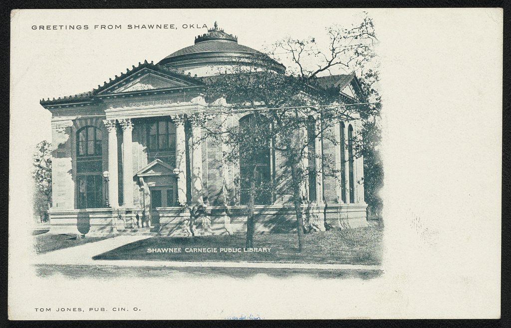
1 of 10 decades since 1900 have photos 🔁Retake an old viewGreetings from Shawnee, Okla.; Sh…, 1905: stand where they stood+15 📦Share a family photoSign in to add one+10Shawnee, decade by decade
![Map of the Shawnee, Oklahoma, and Missouri Coal and Railway Company's Railway, Indian Territory[2 copies]](https://images.towntapestry.org/story/14296/a3eab8270bad12f1a11b-s.jpg) MapMap of the Shawnee, Oklahoma, and Missouri Coal and Railway…1901
MapMap of the Shawnee, Oklahoma, and Missouri Coal and Railway…1901 MapMap of Definite Location Shawnee, Oklahoma & Missouri Coal …1902
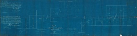 MapMap of Definite Location, Shawnee, Oklahoma and Missouri Co…1902
 MapMap of Definite Location, Shawnee, Oklahoma & Missouri Coal…1903
 LOCGreetings from Shawnee, Okla.; Shawnee Carnegie Public Libr…1905
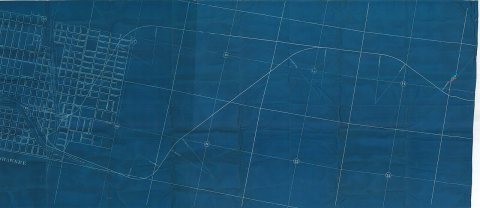 MapMap of the Weleetka- Shawnee Survey Showing Located Line1906
1990s
Then & now
No then-and-now pairs yet. Take a photo from the same spot as Greetings from Shawnee, Okla.; Shawnee Carnegie Public Library (1905) and it appears here side by side.
🔁 Retake this view · +15Stories next door
nearby towns’ historyFrom Wikimedia Commons (5) and the Library of Congress (1). Images are copied here with their credits and licenses, shown on each photo’s page. Refreshed monthly.