A history of Sapulpa,
then and now
Postcards, papers and photographs of Sapulpa from public archives, woven together by decade. Neighbors fill in the gaps.
The story
from WikipediaRead it all ↗The town was named after the area's first permanent settler, a full-blood Lower Creek Indian named James Sapulpa, from the Kasihta or Cusseta band, from Osocheetown in Alabama. About 1850, he established a trading post near the meeting of Polecat and Rock Creeks (about 1 mile or 1.6 km) southeast of downtown Sapulpa).
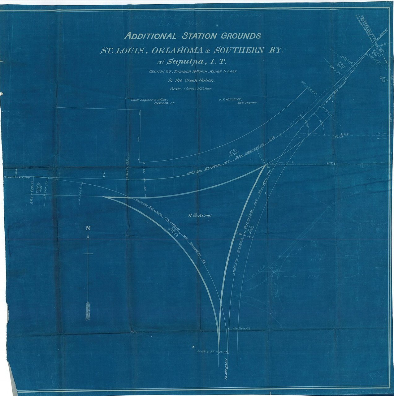
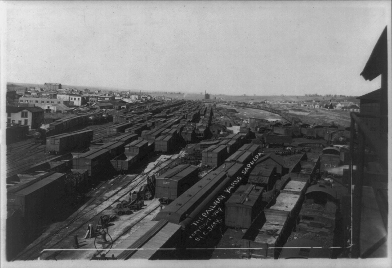
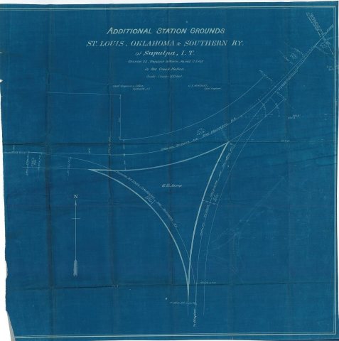
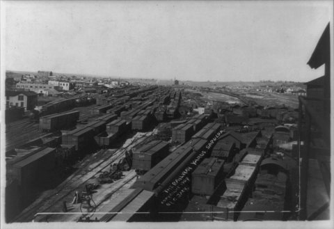
When the Atlantic and Pacific Railroad (which became the Frisco) built a spur to this area in 1886 known as Sapulpa Station. The Sapulpa post office was chartered July 1, 1889, and the town was incorporated on March 31, 1898.
Text from Wikipedia, licensed CC BY-SA 4.0.
Timeline
built from the dates on the items belowFinish Sapulpa’s story
Most archives stop around 1920. The photos from after that are in family albums, not libraries.
2 of 10 decades since 1900 have photos 🔁Retake an old view1940 Census Enumeration District …, 1880: stand where they stood+15 📦Share a family photoSign in to add one+10Sapulpa, decade by decade
1960s
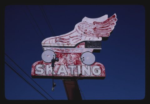
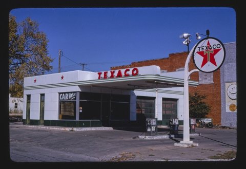
1990s
Then & now
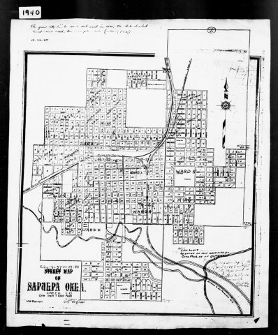
No then-and-now pairs yet. Take a photo from the same spot as 1940 Census Enumeration District Maps - Oklahoma - Creek County - Sapulpa - ED 19-37, ED 19-38, ED 19-39, ED 19-40, ED … (1880) and it appears here side by side.
🔁 Retake this view · +15Historic places
National Register · via Wikidata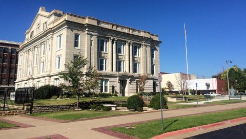
From Wikimedia Commons (5) and the National Register (1). Images are copied here with their credits and licenses, shown on each photo’s page. Refreshed monthly.