A history of Okemah,
since 1902
Postcards, papers and photographs of Okemah from public archives, woven together by decade. Neighbors fill in the gaps.
The story
from WikipediaRead it all ↗Historically occupied by the Osage and Quapaw, who ceded their lands to the United States by 1825, the area was assigned to the Creek Nation and specifically the Thlopthlocco Tribal Town after Indian Removal of tribes from the Southeast United States in the 1830s.
Okemah was named after a Kickapoo chief. In March 1902, Chief Okemah built a bark house in his tribe's traditional fashion. He had come to await the opening of the townsite, which took his name on April 22, 1902. In the Kickapoo language, okemah means "things up high," such as a highly placed person or town, or high ground.
Text from Wikipedia, licensed CC BY-SA 4.0.
Timeline
built from the dates on the items belowFinish Okemah’s story
Most archives stop around 1920. The photos from after that are in family albums, not libraries.
2 of 10 decades since 1900 have photos 🔁Retake an old view1940 Census Enumeration District …, 1880: stand where they stood+15 📦Share a family photoSign in to add one+10Famous people from Okemah
See all 10 →

Okemah, decade by decade
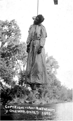
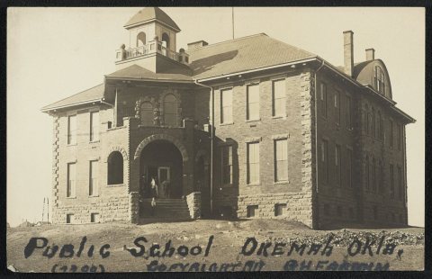
1970s
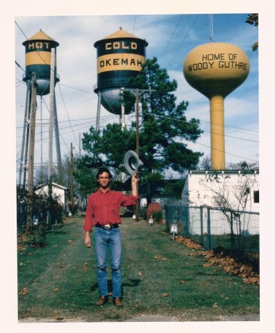
1990s
Then & now
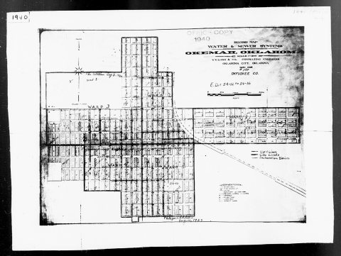
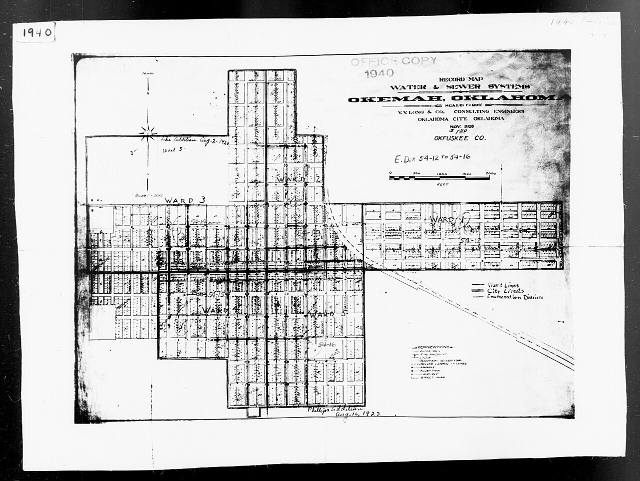
No then-and-now pairs yet. Take a photo from the same spot as 1940 Census Enumeration District Maps - Oklahoma - Okfuskee County - Okemah - ED 54-12, ED 54-13, ED 54-14, ED 54-15, E… (1880) and it appears here side by side.
🔁 Retake this view · +15Historic places
National Register · via Wikidata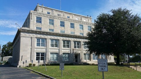
From Wikimedia Commons (4), the Library of Congress (1) and the National Register (1). Images are copied here with their credits and licenses, shown on each photo’s page. Refreshed monthly.