A history of McCurtain,
then and now
Postcards, papers and photographs of McCurtain from public archives, woven together by decade. Neighbors fill in the gaps.
The story
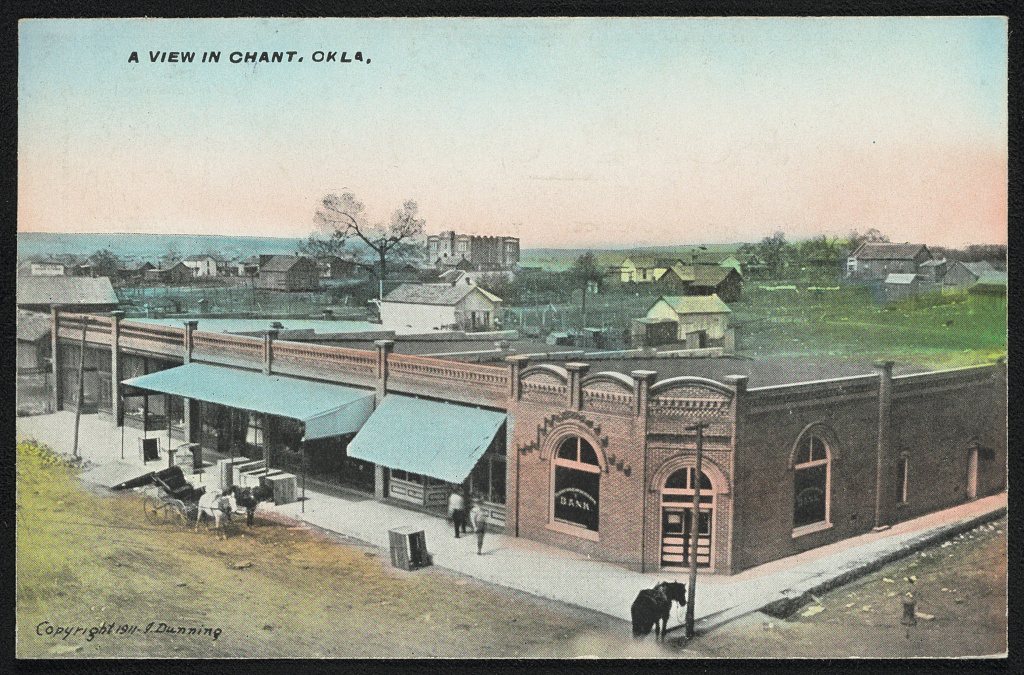
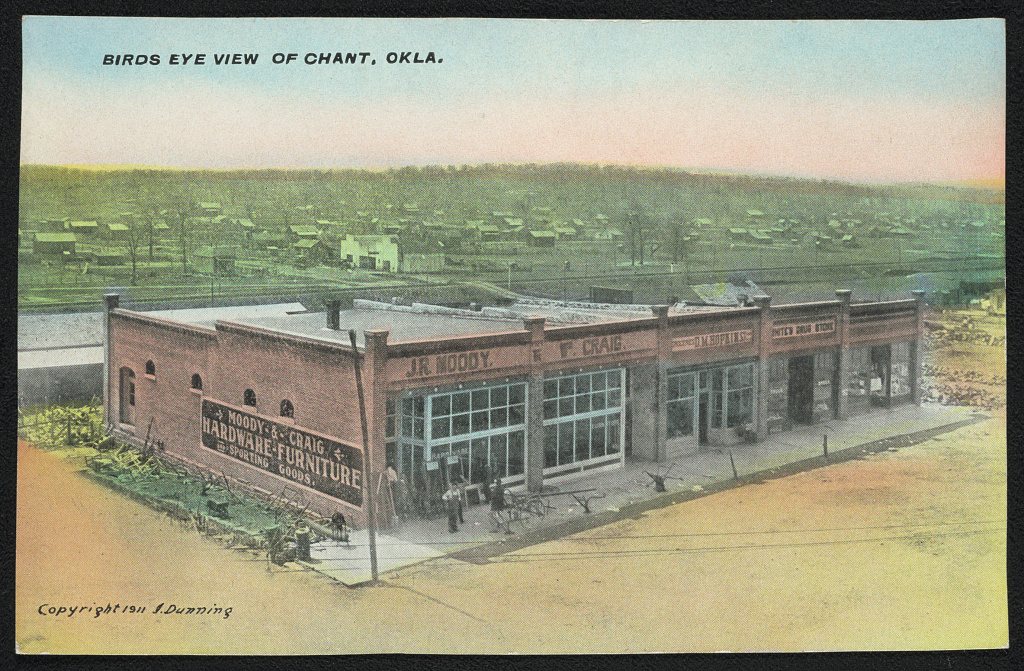
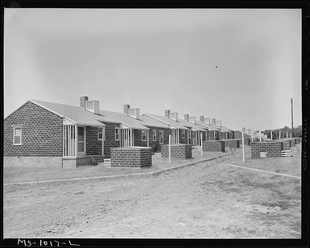
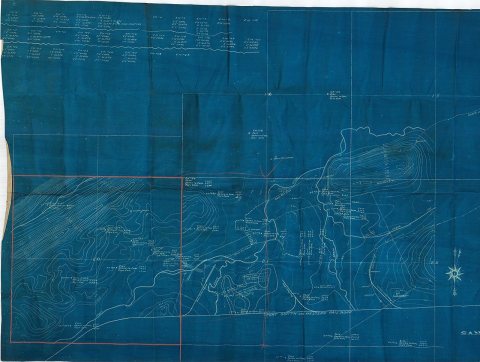
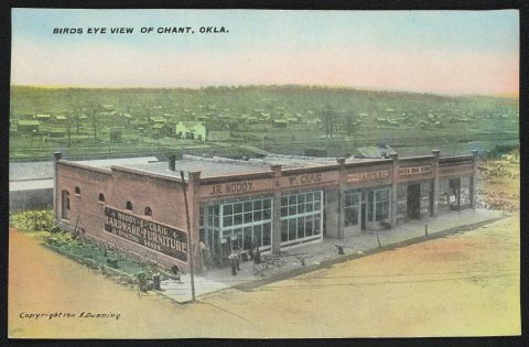
from WikipediaRead it all ↗In 1889, coal deposits discovered in the area that would become southern Haskell County attracted some European miners and American entrepreneurs. They established a community called Panther, which was renamed in 1902 to honor Choctaw Principal Chief Green McCurtain. Another mining town, Chant, was established nearby, and the two began to grow together. McCurtain and Chant prospered after the Fort Smith and Western Railroad connected McCurtain with Fort Smith, Arkansas in 1901. The railroad was built westward until it reached the Canadian River in 1902. The San Bois Coal Company built four hundred company houses for miners living in McCurtain and Chant. By 1907 statehood the combined population of the two communities was 1,760.
Text from Wikipedia, licensed CC BY-SA 4.0.
Timeline
built from the dates on the items belowFinish McCurtain’s story
Most archives stop around 1920. The photos from after that are in family albums, not libraries.
3 of 10 decades since 1900 have photos 🔁Retake an old viewA View in Chant, Okla, 1911: stand where they stood+15 📦Share a family photoSign in to add one+10Famous people close to McCurtain
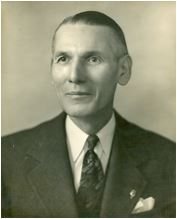
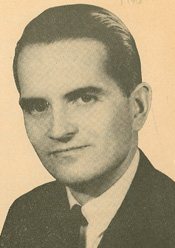
See all 31 →



McCurtain, decade by decade
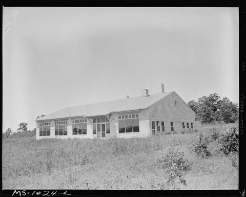
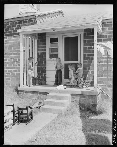
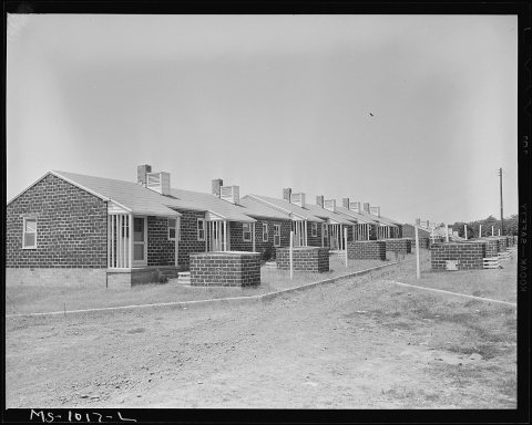
1990s
Nothing in McCurtain is on the National Register yet
That’s true of most small towns. It doesn’t mean McCurtain has no history, only that no one has written up a nomination. The closest listed place is Summerfield School in Bokoshe, 5.4 miles away.
McCurtain and the nearest listed places


How a place gets listed
Then & now
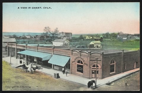
No then-and-now pairs yet. Take a photo from the same spot as A View in Chant, Okla (1911) and it appears here side by side.
🔁 Retake this view · +15Stories next door
nearby towns’ historyFrom Wikimedia Commons (4) and the Library of Congress (2). Images are copied here with their credits and licenses, shown on each photo’s page. Refreshed monthly.